Put-in
NH
Lower Put-in
Save this feature with the run it belongs to.
Gauge Conditions
Runnable: ? – ? CFS
Approximate - nearest available gauge. Use as general reference only.
Data from American Whitewater & USGS
Photo
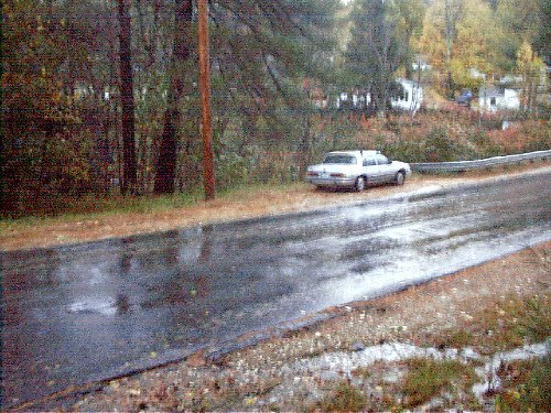
Photo courtesy of American Whitewater
Description
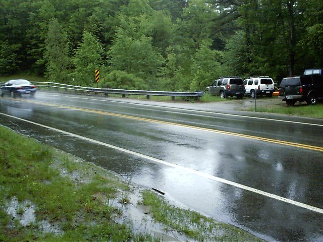
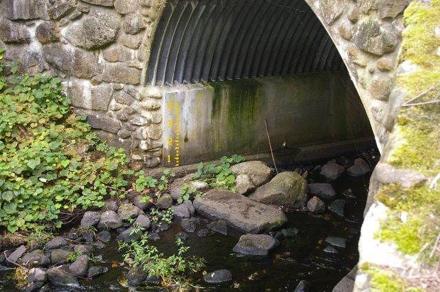
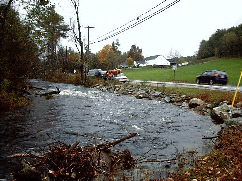
The second put-in is just off routes 43/107 where James City Road (also called Nottingham Road) crosses over the river (location 43" 08.573', -71" 13.942'). Park on either size and walk along upstream along a path and put on either above or below the first drop. This is also a great place to stop and scout the first drop or just check water levels. [The paddlers' gage will be painted here on the upstream left bridge abutment.]
Location
Interactive river map
Loads as you approach this section.
Other Rapids on This Run (17)
 Rapid
Rapid
Upper Put In
 Playspot
II+
Playspot
II+
Freeses Pond Dam
 Rapid
IV
Rapid
IV
Barking Boy Falls (aka James City Falls)
 Rapid
Rapid
Paddler's Gage
 Rapid
III+
Rapid
III+
Double Drop
 Rapid
I
Rapid
I
Wetlands
 Rapid
IV+
Rapid
IV+
Hairpin Rapid
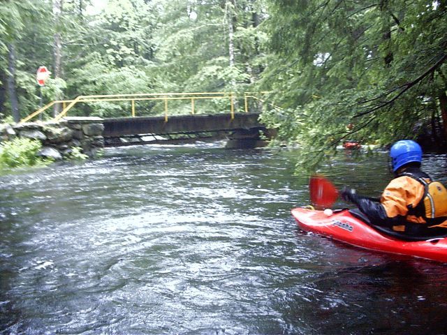 Hazard
Low Bridge
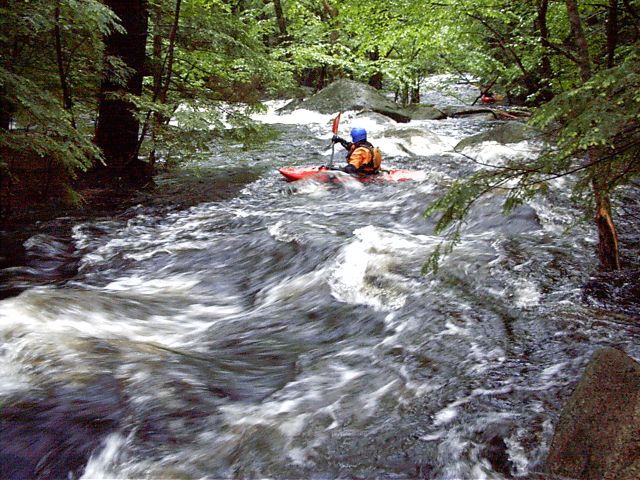 Rapid
III
Rapid
III
S-Turn Rapid
 Rapid
III
Rapid
III
Miller Time
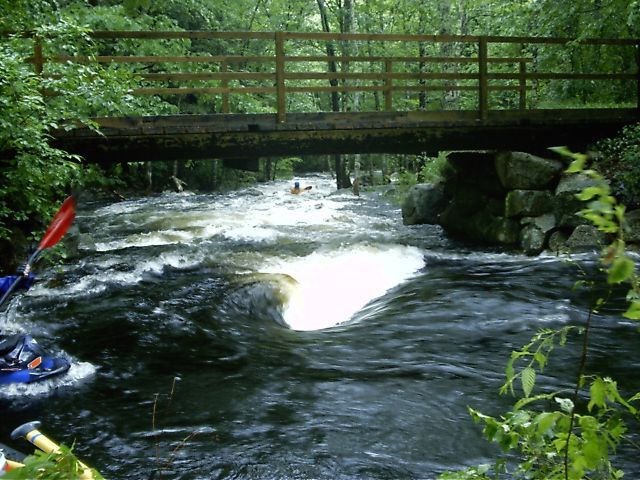 Rapid
III+
Rapid
III+
Miller Time
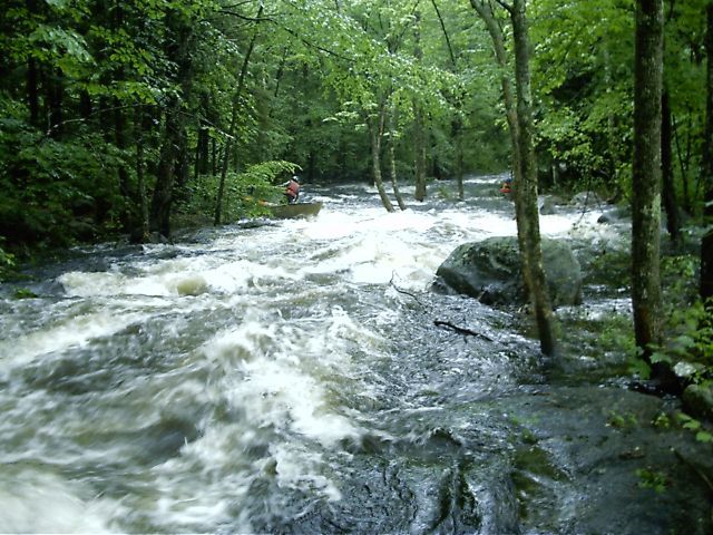 Hazard
III+
Hazard
III+
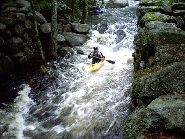
Trees in Miller Time
 Rapid
II+
Rapid
II+
Mill Slot
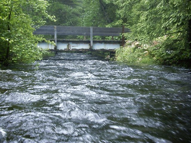 Hazard
Yet another place to duck
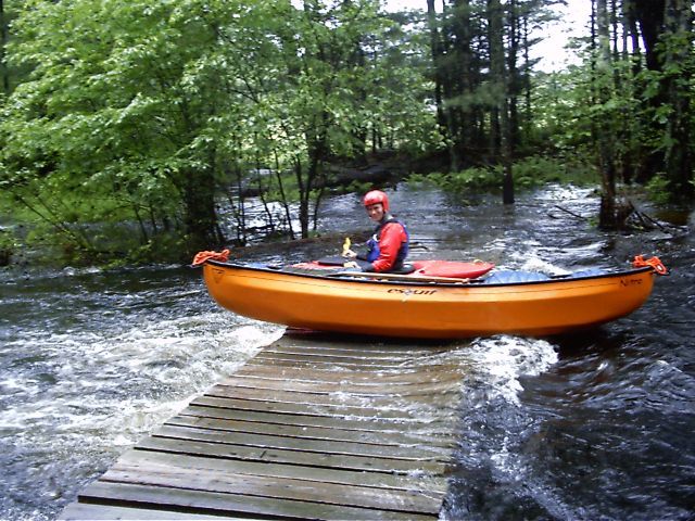 Hazard
Snowmobile Bridge
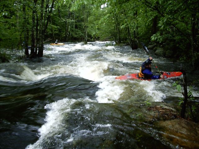 Hazard
III+
Hazard
III+
Stone Wall
 Rapid
Rapid
Take out
View Full Run
Upper Lamprey
Lamprey
IV
3.9 mi
Current Conditions
5-Day Forecast
Whitewater data from
American Whitewater
American Whitewater