Stone Wall
Save this feature with the run it belongs to.
Gauge Conditions
Runnable: ? – ? CFS
Approximate - nearest available gauge. Use as general reference only.
Data from American Whitewater & USGS
Photo
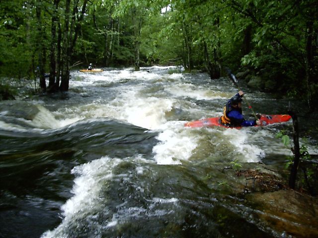
Photo courtesy of American Whitewater
Description
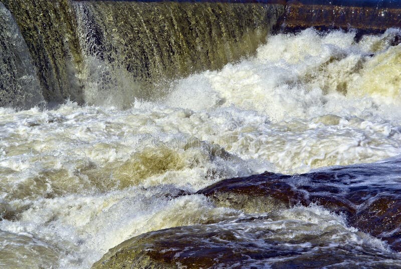
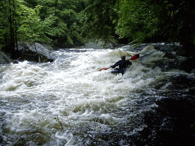
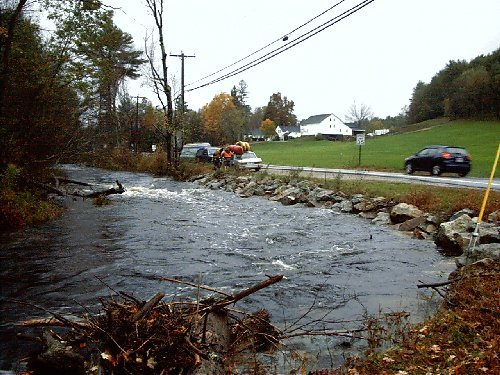
The last major drop is located just above the takeout (43" 06.603', -71" 14.431'). It's named for the stone wall along the river. It can be easily viewed by stopping on the main road just above the bridge near the takeout. There is a small path into an overlook where the majority of the rapid is visible. [Note: As of June 2006, a large tree has fallen across the bottom of the drop, leaving just barely enough room to duck under. Care and scouting are recommended since it are not obvious from the top of the rapid.]
Location
Interactive river map
Loads as you approach this section.
Other Rapids on This Run (17)
 Rapid
Rapid
Upper Put In
 Playspot
II+
Playspot
II+
Freeses Pond Dam
 Rapid
IV
Rapid
IV
Barking Boy Falls (aka James City Falls)
 Rapid
Rapid
Lower Put-in
 Rapid
Rapid
Paddler's Gage
 Rapid
III+
Rapid
III+
Double Drop
 Rapid
I
Rapid
I
Wetlands
 Rapid
IV+
Rapid
IV+
Hairpin Rapid
 Hazard
Low Bridge
 Rapid
III
Rapid
III
S-Turn Rapid
 Rapid
III
Rapid
III
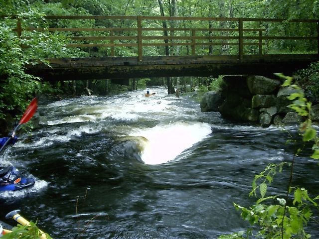
Miller Time
 Rapid
III+
Rapid
III+
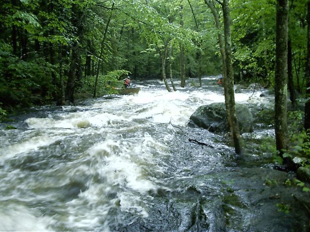
Miller Time
 Hazard
III+
Hazard
III+
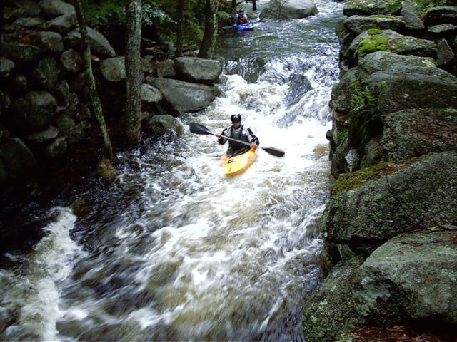
Trees in Miller Time
 Rapid
II+
Rapid
II+
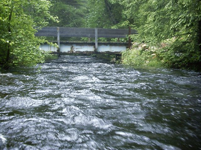
Mill Slot
 Hazard
Yet another place to duck
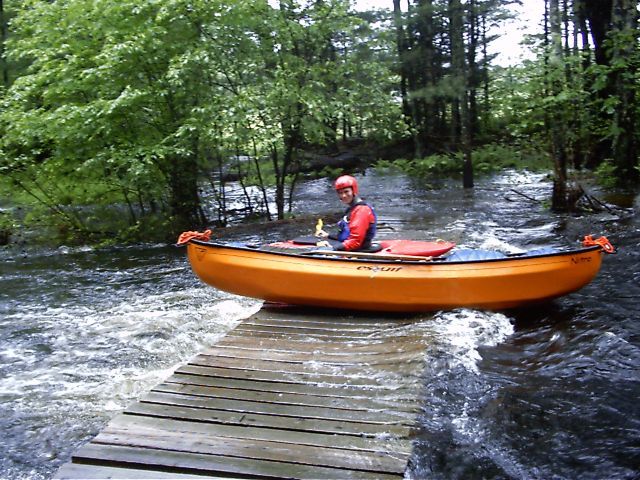 Hazard
Snowmobile Bridge
 Rapid
Rapid
Take out
View Full Run
Upper Lamprey
Lamprey
IV
3.9 mi
Hazard — Exercise extreme caution in this area.
Current Conditions
5-Day Forecast
Whitewater data from
American Whitewater
American Whitewater