Hazard
WA
Lowhead Dam
Save this feature with the run it belongs to.
Gauge Conditions
Runnable: ? – ? CFS
Approximate - nearest available gauge. Use as general reference only.
Data from American Whitewater & USGS
Photo
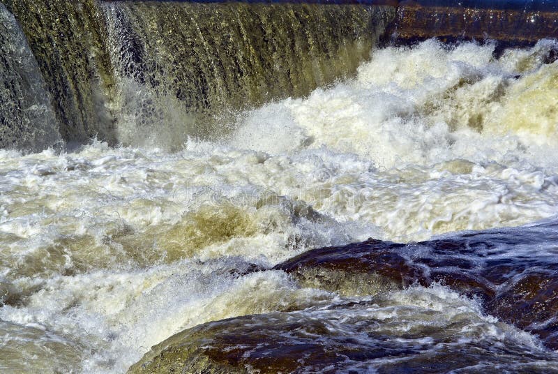
Photo courtesy of American Whitewater
Description
Lowhead dam located just downstream of the Highway 12 bridge and below the Tieton River confluence. The dam is visible at Highway 12 mile 185.8.
Location
Interactive river map
Loads as you approach this section.
Other Rapids on This Run (11)
Rapid
N/A
Sawmill Flat Put-In
Rapid
N/A
Whistlin' Jacks
Rapid
N/A
Cottonwood Campground
Rapid
N/A
Forest Service Boundary
Rapid
N/A
Upper Nile Road Bridge
Rapid
N/A
Lower Nile Road Bridge
Rapid
N/A
Highway 12 Bridge
Rapid
N/A
Town of Naches, S. Naches Road Access
Rapid
N/A
WDFW Access
Rapid
N/A
City of Yakima Water Treatment Plant Take Out
Rapid
N/A
Former Nelson Dam Site
View Full Run
Sawmill Flat to bl. Town of Naches
Naches
II-III
44.0 mi
Hazard — Exercise extreme caution. Portage recommended — scout before running.
Current Conditions
5-Day Forecast
Whitewater data from
American Whitewater
American Whitewater