How's Your
River
×
Explore
Explore Map
Water Bodies
Gauges
Access Sites
Tidal Stations
Whitewater
Pricing
Login
Sign Up
Hazard Warning:
Hazard information may be user-submitted and unverified. Conditions change frequently. Always scout rapids and obstacles yourself.
Whitewater
New Hampshire
Pemigewasset - 1) Upper Pemi
Map of the Upper Pemi region
Put-in
NH
Map of the Upper Pemi region
Pemigewasset - 1) Upper Pemi (NH)
Monitor this Rapid
Water Body
This Run
Map
Other Rapids
Gauge
Weather
Directions
Gauge Conditions
Pemigewasset River at Woodstock, NH
Downstream
Primary
Runnable: 4.5 – 9.0 FT
Data from
American Whitewater
&
USGS
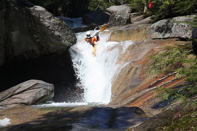
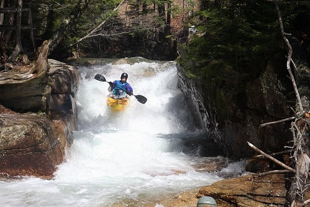
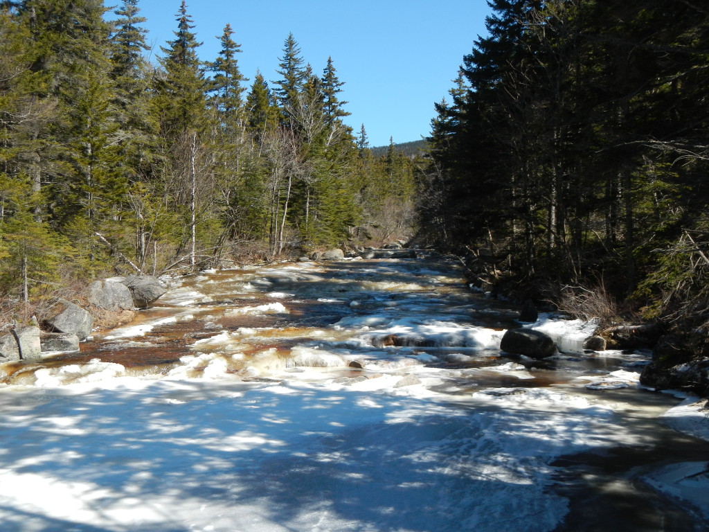
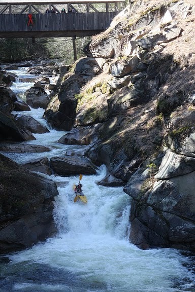
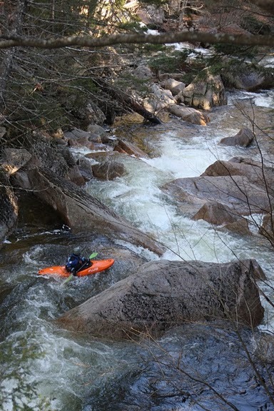
Photo
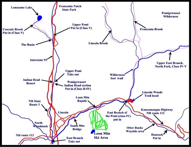
Photo courtesy of
American Whitewater
Location
Radar
Counties
Cell
Verizon
AT&T
T-Mobile
Dark
Satellite
Terrain
Other Rapids on This Run (8)
Waterfall
V+
The Basin
0.1 mi
Rapid
IV+
Baby Flume
0.2 mi
Hazard
V+
The North Pole
0.3 mi
Waterfall
V+
Wham Bam, Thank You Ma'am
0.3 mi
Hazard
V
Sieve in Wam Bam, Thank You Ma'am
0.3 mi
Rapid
V
CL:4-5 Boulder Gardens
0.4 mi
Rapid
IV
CL: 3-4 Boulder Gardens
0.5 mi
Rapid
N/A
Take Out
2.9 mi
Type
Put-in
Mile Marker
0.0 mi
Directions
Navigate
View Full Run
1) Upper Pemi
Pemigewasset
V
3.7 mi
Current Conditions
5-Day Forecast
Whitewater data from
American Whitewater
Map of the Upper Pemi region