Put-in
CA
Mendota Pool Dam
Save this feature with the run it belongs to.
Gauge Conditions
Runnable: 400.0 – 8,000.0 CFS
Near end
Data from American Whitewater & USGS
CDEC Flow Data California
Data from California Data Exchange Center (CDEC)
Photo
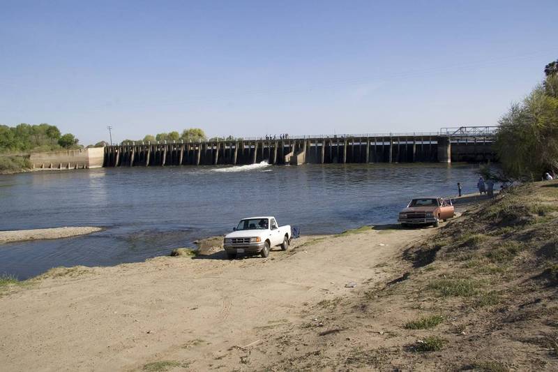
Photo courtesy of American Whitewater
Description
There is easy access for launching boats just downstream of the dam.
Location
Interactive river map
Loads as you approach this section.
Other Rapids on This Run (13)
Rapid
N/A
Gauge below Mendota
Rapid
N/A
Firebaugh Wasteway confluence
 Rapid
N/A
Rapid
N/A
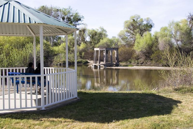
Firebaugh Park
Portage
N/A
Sack Dam
Rapid
N/A
Gauge near Dos Palos
Rapid
N/A
Highway 152
Portage
N/A
Small Dam
Rapid
N/A
Chowchilla Bypass - Confluence
Rapid
N/A
Sandy Mush Road
Portage
N/A
Small Dam
Rapid
N/A
Highway 165 - Lander Ave
Rapid
N/A
Fremont Ford State Rec Area
Rapid
N/A
Merced River Confluence - Hills Ferry Road
View Full Run
Mendota Pool to Merced River Confluence
San Joaquin
I
86.3 mi
Current Conditions
5-Day Forecast
Whitewater data from
American Whitewater
American Whitewater