Take-out
MT
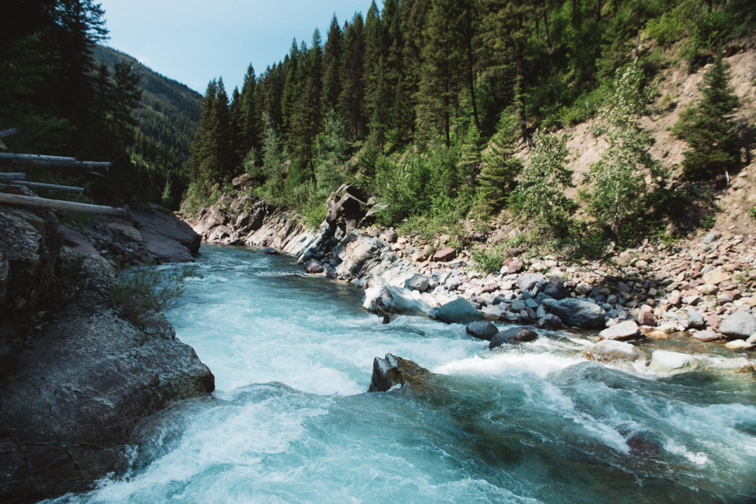
Moccasin Creek Access Area
Save this feature with the run it belongs to.
Gauge Conditions
Runnable: ? – ? CFS
Approximate - nearest available gauge. Use as general reference only.
Data from American Whitewater & USGS
Photo

Photo courtesy of American Whitewater
Description
This access primarily serves as a put-in for the downstream reach. It is not a practical take-out for this section, as reaching it requires paddling or lining boats upstream on Deerlick Creek—a short distance but challenging for larger rafts. If used as a take-out, it is best suited for kayaks or small hand-carry craft at low water. Larger boats will want to take out upstream at Cascadilla or plan to continue on through the next segment downstream of this one.
Location
Other Rapids on This Run (4)


View Full Run
3. Paola Access to Moccasin Creek
Flathead, Middle Fork
II-III
18.0 mi
Current Conditions
5-Day Forecast
Whitewater data from
American Whitewater
American Whitewater