Rapid
IL
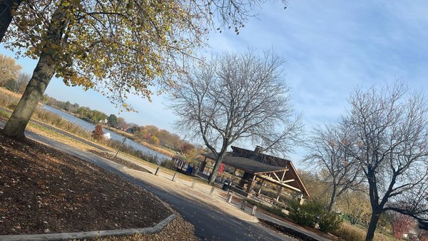
MOST LIKELY PUT-IN: Uppermost extent of Stonegate Park?
Save this feature with the run it belongs to.
Gauge Conditions
Runnable: 100.0 – 700.0 CFS
Too low for reasonable whitewater.
Data from American Whitewater & USGS
Description
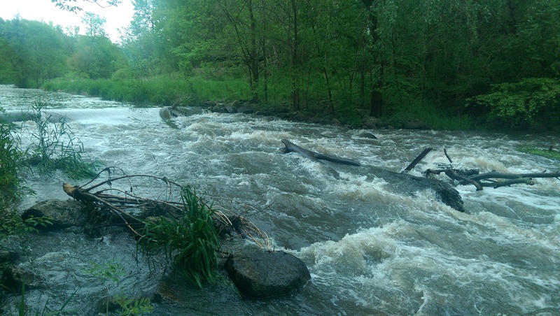
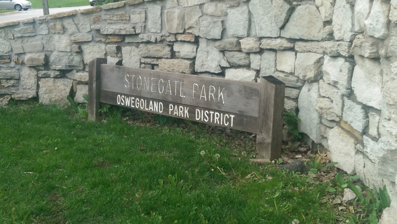
From Kendall County GIS information, it would appear that the upstream-most edge of the Stonegate Park property is about at this location.
We do not have awareness whether the paved path (or otherwise trodden footpath) extends this far.
Location
Interactive river map
Loads as you approach this section.
Other Rapids on This Run (20)
 Playspot
II
Playspot
II
Waubonsee Lake Park Dam
Rapid
N/A
Possible Put In
 Rapid
N/A
Rapid
N/A
Maintainance / Golf Cart bridge (#1)
 Rapid
N/A
Rapid
N/A
Golf Cart bridge (#2)
 Rapid
N/A
Rapid
N/A
Golf Cart Bridge (#3)
 Rapid
N/A
Rapid
N/A
Bridge (#4)
 Rapid
N/A
Rapid
N/A
Golf Cart Bridge (#5)
 Rapid
N/A
Rapid
N/A
Golf Cart Bridge (#6)
Rapid
II
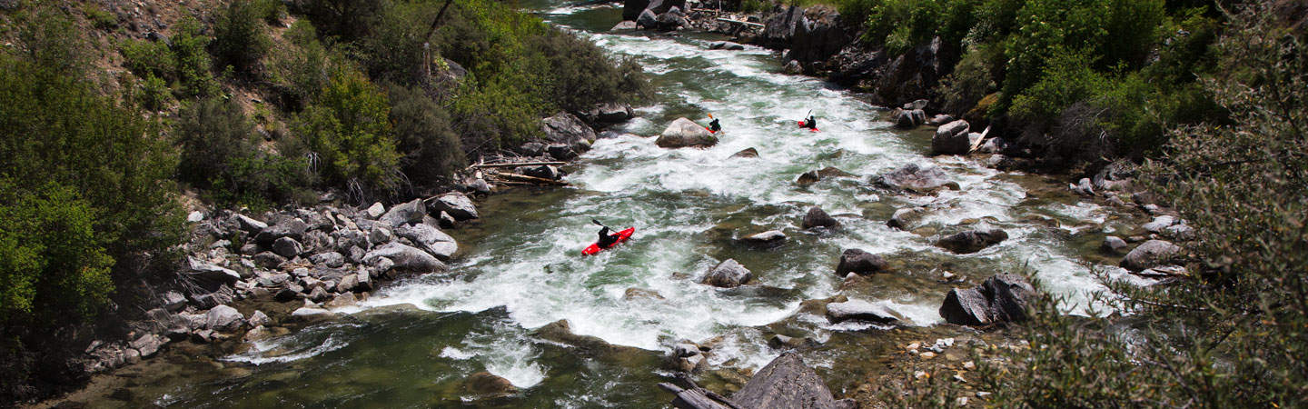
Nice Drop
 Rapid
N/A
Rapid
N/A
Golf Cart Bridge (#7)
Rapid
N/A
Hwy.34 / Peyton Memorial Highway
Rapid
N/A
Pearce Cemetery
Playspot
II
playspot (#1)
Rapid
N/A
Pfund Court
Playspot
II
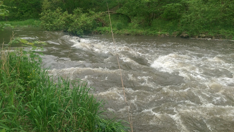
playspot (#2)
 Playspot
II
Playspot
II
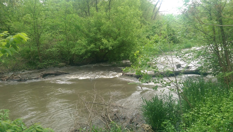
playspot? (#3)
 Playspot
II
Playspot
II
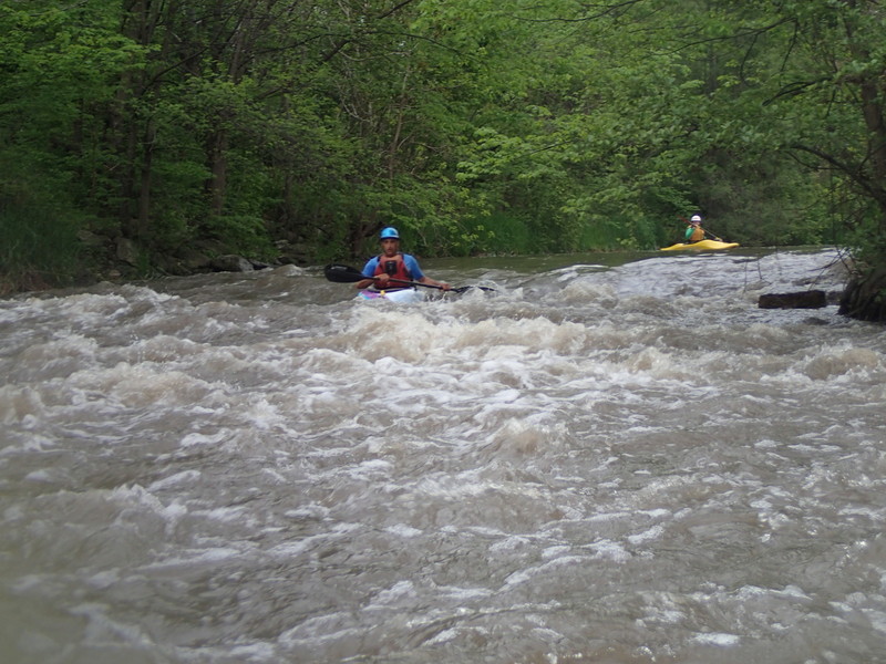
playspot (#4)
 Playspot
II
Playspot
II
playspot (#5)
 Playspot
II
Playspot
II
playspot (#6)
 Rapid
N/A
Rapid
N/A
Madison Street / Stone Gate Park
View Full Run
Oswego: Stone Gate Park to Fox River (0.54 - 2.2 miles)
Waubonsie Creek
II
2.2 mi
Current Conditions
5-Day Forecast
Whitewater data from
American Whitewater
American Whitewater