"Muddy Creek Falls" (V)
Save this feature with the run it belongs to.
Gauge Conditions
Data from American Whitewater & USGS
Photo
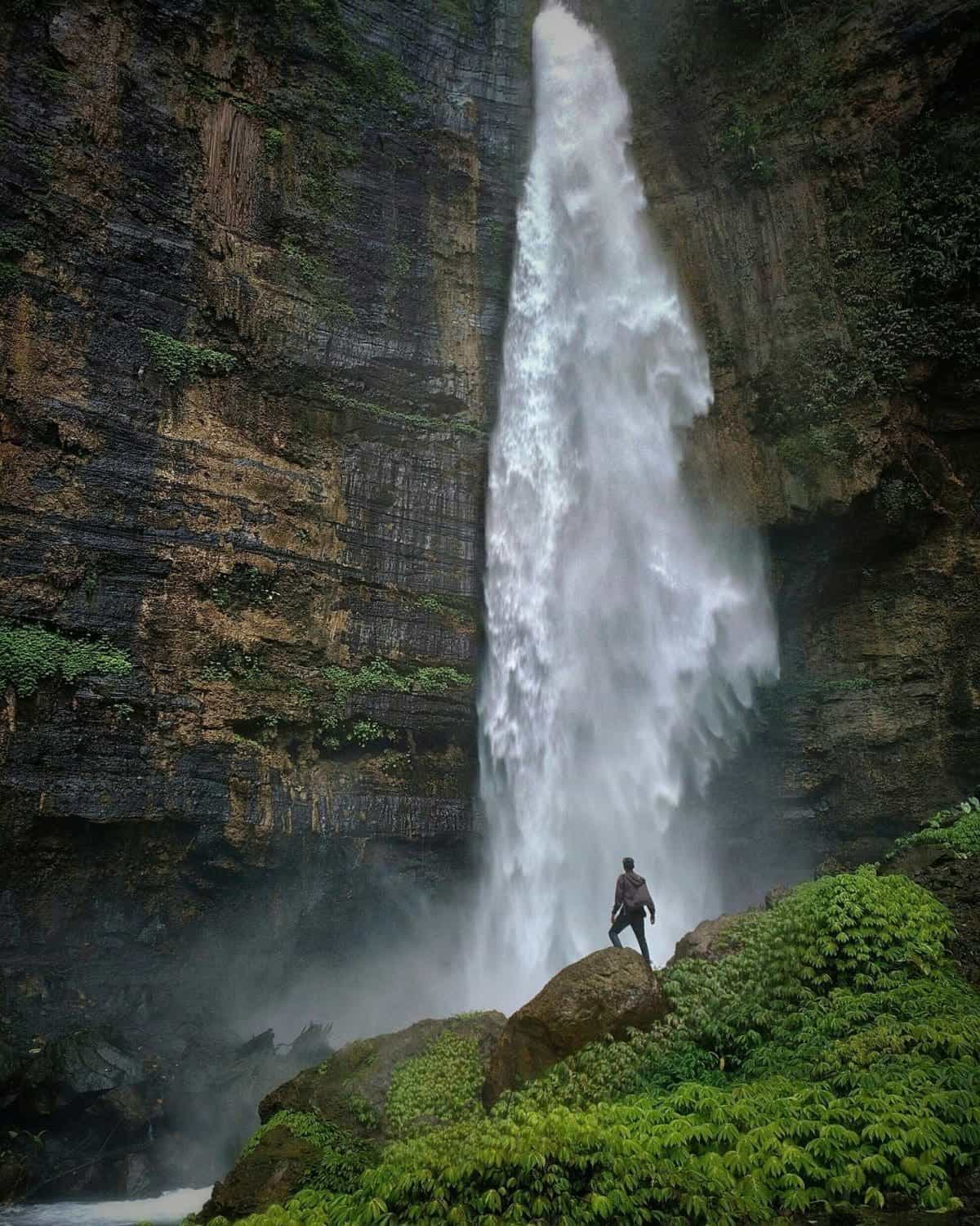
Photo courtesy of American Whitewater
Description
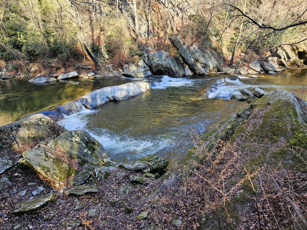
15 foot drop with lots of inconveniently located rocks that break the drop into sections. Run by expert paddlers, it's considered a Class IV if you hit the lines, but has Class V consequences.
Here, the river necks sharply. Get over to the right, because you have reached "Muddy Creek Falls", a nasty 15 ft or so drop which requires a 100 yard or so portage over rocks. A large roar of white water will warn you. Most paddlers should portage this Class V rapid, because there are undercuts and other pinning opportunities if you make a mistake! Eddy at least 100 yards upstream of the gorge on river right, there is a trail that will allow you to portage below the gorge. The trail is not the greatest and the rocks are slippery. Any boater attempting "Muddy Creek Falls" should first land or boat scout. The Falls almost always have something in it (i.e. wood).
Below the falls, there is a gorge which offers two (2) places to launch from. The highest point to launch would be from the highest point of the large middle rock of the gorge. This is where you would typically would take a look into the gorge. It drops about 20 feet at about a 70 degree angle. It will take some plastic off your boat. The second launch point is probably 10 feet up and is 100 feet downstream of the first launch point on river right. This one is easier and allows you to boof the surface of the water.
Here, the river necks sharply. Get over to the right, because you have reached "Muddy Creek Falls", a nasty 15 ft or so drop which requires a 100 yard or so portage over rocks. A large roar of white water will warn you. Most paddlers should portage this Class V rapid, because there are undercuts and other pinning opportunities if you make a mistake! Eddy at least 100 yards upstream of the gorge on river right, there is a trail that will allow you to portage below the gorge. The trail is not the greatest and the rocks are slippery. Any boater attempting "Muddy Creek Falls" should first land or boat scout. The Falls almost always have something in it (i.e. wood).
Below the falls, there is a gorge which offers two (2) places to launch from. The highest point to launch would be from the highest point of the large middle rock of the gorge. This is where you would typically would take a look into the gorge. It drops about 20 feet at about a 70 degree angle. It will take some plastic off your boat. The second launch point is probably 10 feet up and is 100 feet downstream of the first launch point on river right. This one is easier and allows you to boof the surface of the water.
Location
Interactive river map
Loads as you approach this section.
Other Rapids on This Run (12)
Rapid
N/A
Paper Mill Rd. Put-in
Rapid
II
"Double Ledges"
Rapid
I
Small Diagonal Ledge
 Playspot
III
Playspot
III
"Snap Falls"
Rapid
II-
Unnamed ledge
Rapid
II+
"Screaming Left"
Rapid
II
"Mumbling Right"
Rapid
II+
"Gumdrop"
 Waterfall
N/A
Waterfall
N/A
Waterfall river left
Rapid
III
"Triple Drop"
 Rapid
N/A
Rapid
N/A
Flatwater Paddle
 Rapid
N/A
Rapid
N/A
Take-out - Cold Creek Park
View Full Run
2. Paper Mill Road to Susquehanna River (Cold Creek Park)
Muddy Creek (Susquehanna trib)
II(III)
4.6 mi
Hazard — Exercise extreme caution in this area.
Current Conditions
5-Day Forecast
Whitewater data from
American Whitewater
American Whitewater