"Snap Falls"
Save this feature with the run it belongs to.
Gauge Conditions
Data from American Whitewater & USGS
Photo
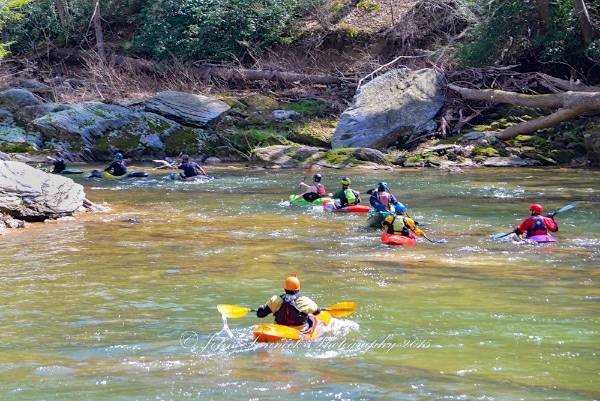
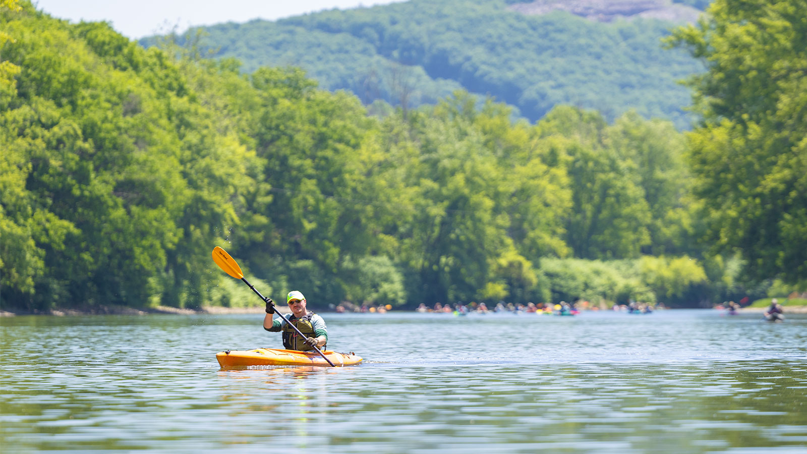
Photo courtesy of American Whitewater
Description
At about a mile into the run is "Snap Falls" (III) - creek wide ledge (Right side, 4 foot drop; Left side, two step 4 foot drop). At lower levels run "Snap Falls" on river right. The simplest line is approximately 10 feet left of large sloping rock. The current pushes to the right here, so a little left angle is advised. The corner can also be run here, but this is a harder line, because it has to be run with 45 degree left angle. Be prepared to brace on left side, and don't be tempted to put a hand brace on the rock face to the right. At moderate levels runs can be made river right (must consider at moderate and higher levels a nasty hole forms against rock face), river left is a straight forward staircase or center if middle rock is covered. At higher levels (flood stage), run river left. Play moves at lower and moderate levels in hole at bottom of river right drop of "Snap Falls". Both stern squirts and front enders and variations into rock splats can be performed. A campsite exist on river right, that overlooks "Snap Falls". The second smaller drop of "Snap Falls" is best run by hugging the river right rock bank
"Snap Falls" is a great class III 4 foot drop which includes a flipping wave to mess up the survivors. Scouting and picture taking can easily be done from the right.
"Snap Falls" is a great class III 4 foot drop which includes a flipping wave to mess up the survivors. Scouting and picture taking can easily be done from the right.
Location
Interactive river map
Loads as you approach this section.
Other Rapids on This Run (12)
Rapid
N/A
Paper Mill Rd. Put-in
Rapid
II
"Double Ledges"
Rapid
I
Small Diagonal Ledge
 Waterfall
V
Waterfall
V
"Muddy Creek Falls" (V)
Rapid
II-
Unnamed ledge
Rapid
II+
"Screaming Left"
Rapid
II
"Mumbling Right"
Rapid
II+
"Gumdrop"
 Waterfall
N/A
Waterfall
N/A
Waterfall river left
Rapid
III
"Triple Drop"
 Rapid
N/A
Rapid
N/A
Flatwater Paddle
 Rapid
N/A
Rapid
N/A
Take-out - Cold Creek Park
View Full Run
2. Paper Mill Road to Susquehanna River (Cold Creek Park)
Muddy Creek (Susquehanna trib)
II(III)
4.6 mi
Current Conditions
5-Day Forecast
Whitewater data from
American Whitewater
American Whitewater