Rapid
WA
North Fork Confluence Access
Save this feature with the run it belongs to.
Gauge Conditions
Data from American Whitewater & USGS
Photo
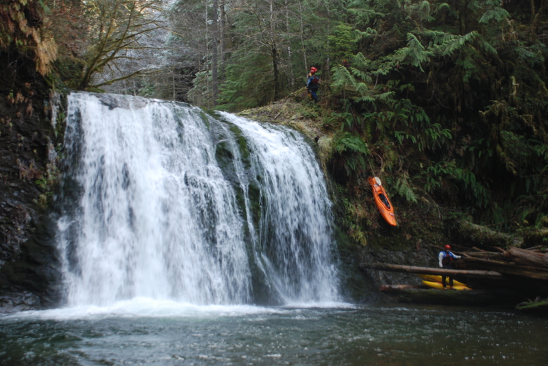
Photo courtesy of American Whitewater
Description
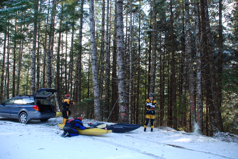
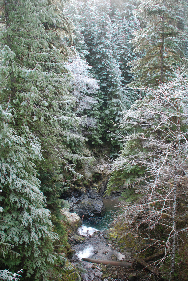
Trail down to the access for the Middle Run. This access is at a small pull-out at Forest Road 29 mile 14.3. You can head to the right and find a gully to scramble down into the North Fork. Using this route requires a rappel down the edge of an approximately 30' waterfall on the North Fork just upstream of the confluence with the Sitkum. An alternative shorter route (unmarked) is available by heading off towards the left from the pull out (this is the access illustrated in Korb's guidebook). It too requires rope to lower the boats down although you won't need to rappel. Either way don't expect the put-in to be particularly user friendly.
Location
Interactive river map
Loads as you approach this section.
Other Rapids on This Run (13)
 Rapid
N/A
Rapid
N/A
Upper Upper Put-In
 Rapid
IV+
Rapid
IV+
Double Drop
 Rapid
IV+
Rapid
IV+
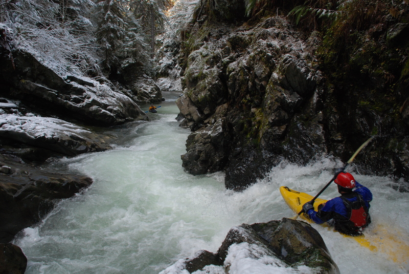
Falls
 Rapid
IV+
Rapid
IV+
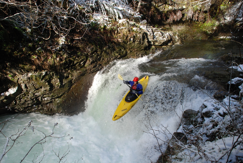
50/50
 Rapid
IV+
Rapid
IV+
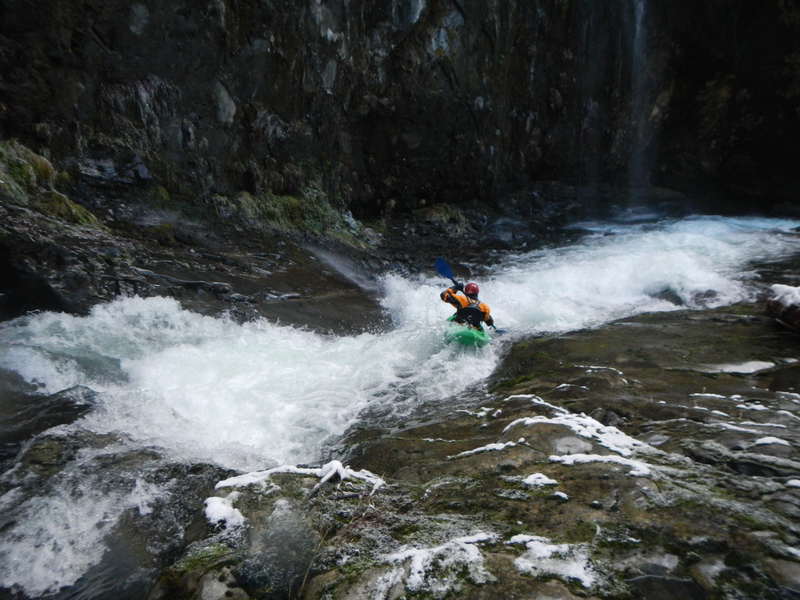
Falls
 Rapid
IV
Rapid
IV
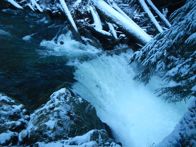
Slide Rapid
 Rapid
IV+
Rapid
IV+
Falls
 Rapid
N/A
Rapid
N/A
Brandeberry Creek Access
 Rapid
IV
Rapid
IV
Little Pistol
Rapid
IV-
Cotton Candy
Rapid
N/A
Sitkum Gorge Bridge (Forest Road 2900-070) Access
Rapid
N/A
Calawah Confluence
Rapid
N/A
Take Out
View Full Run
Above Brandeberry Creek to Hyas Creek
Sitkum
II-V
12.6 mi
Current Conditions
5-Day Forecast
Whitewater data from
American Whitewater
American Whitewater