Pandemic Falls
Save this feature with the run it belongs to.
Gauge Conditions
Runnable: ? – ? CFS
Approximate - nearest available gauge. Use as general reference only.
Data from American Whitewater & USGS
Photo
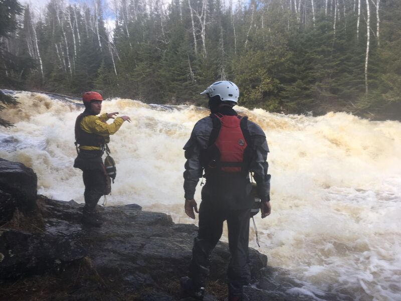
Photo courtesy of American Whitewater
Description
An island splits the flow. River-left is more convoluted (multiple options of route, but none really simple or welcoming when I was there). River-right has much cleaner lines and allows good set-up for the lower falls.
At the bottom end of the island, flows converge and jump down the lower part of this falls.
Location
Interactive river map
Loads as you approach this section.
Other Rapids on This Run (3)


View Full Run
B) FR157/Cascade River Road to CR45/Pike Lake Road (3.5 miles)
Cascade
II(IV)
3.5 mi
Current Conditions
5-Day Forecast
Whitewater data from
American Whitewater
American Whitewater