Skip to content
How's Your River
×
Explore
Explore Map
Water Bodies
Gauges
Access Sites
Tidal Stations
Whitewater
Login
Create Free Account
Hazard Warning:
Hazard information may be user-submitted and unverified. Conditions change frequently. Always scout rapids and obstacles yourself.
Whitewater
Colorado
Lake Creek - 01. MM 69 to Wills Gulch picnic area
put in
Put-in
CO
Class IV+
put in
Lake Creek - 01. MM 69 to Wills Gulch picnic area
· CO
American Whitewater
39.0819, -106.5410
Save Place
Save this feature with the run it belongs to.
Water Body
This Run
Map
Other Rapids
Weather
Directions
No sufficiently local live gauge linked.
1 automated match was excluded because the closest is 39.2 miles away. Use the parent run and local sources before making a trip decision.
Photo
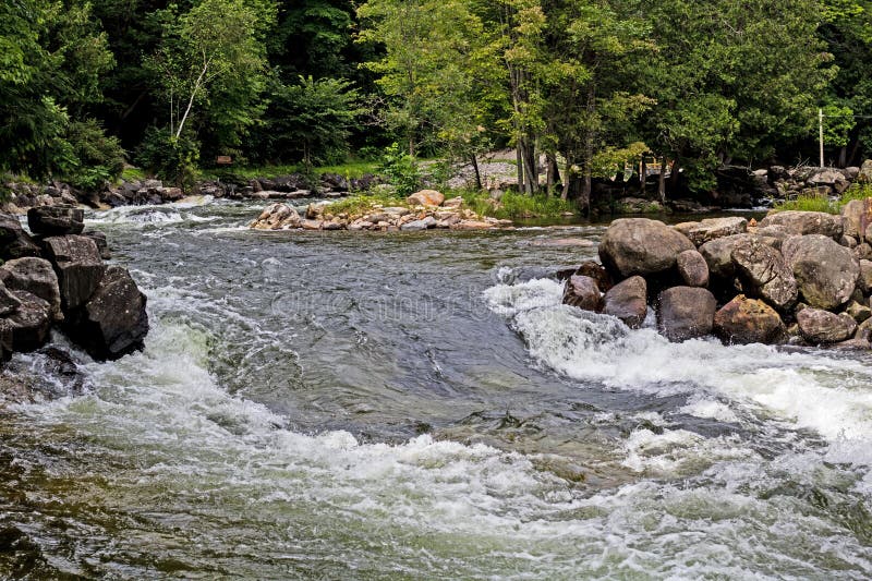
Photo courtesy of
American Whitewater
Description
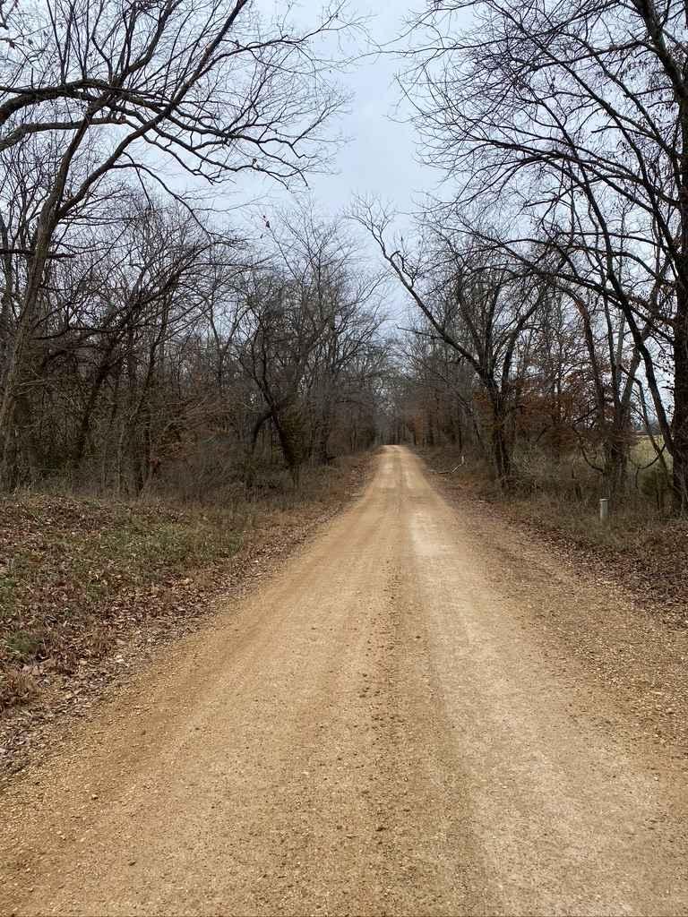
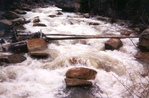
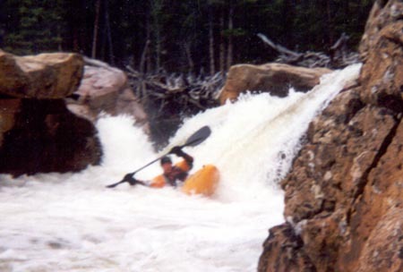
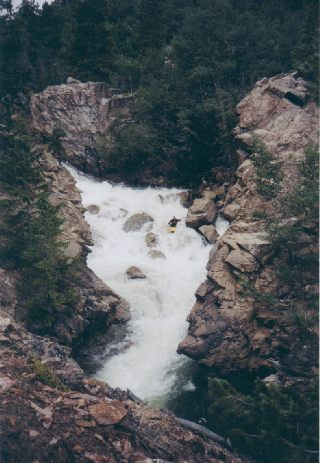
For a long day put in at the tunnel coming out of the mountain. The cascade of diverted water down to Lake Creek proper is fun.
Location
Radar
Counties
Coverage
Verizon
AT&T
T-Mobile
US Cellular
Dark
Satellite
Terrain
Other Rapids on This Run (9)
Hazard
VI
Tombstone Rapid
2.2 mi
Rapid
N/A
Road 82c, SF Lake Creek Rd
2.4 mi
Waterfall
V+
NIMBY Rapid
4.0 mi
Waterfall
V
Toaster Rapid
6.0 mi
Waterfall
V+
The Brain Rapid
7.5 mi
Waterfall
V+
Paralyzer Rapid
8.0 mi
Hazard
V+
Z-turn Rapid
8.1 mi
Rapid
IV
Parry Creek Campground Bridge
8.3 mi
Waterfall
V+
Cauldron Rapid
8.7 mi
Type
Put-in
Difficulty
Class IV+
Mile Marker
0.0 mi
Directions
Navigate
View Full Run
01. MM 69 to Wills Gulch picnic area
Lake Creek
V+
9.2 mi
Current Conditions
5-Day Forecast
Whitewater data from
American Whitewater
put in