Put-in
WV
Put In #2 - Muddy Creek
Save this feature with the run it belongs to.
Gauge Conditions
Runnable: 11.0 – 15.0 FT
Corresponds roughly to 2.25-3.25' at the Bridge.
Data from American Whitewater & USGS
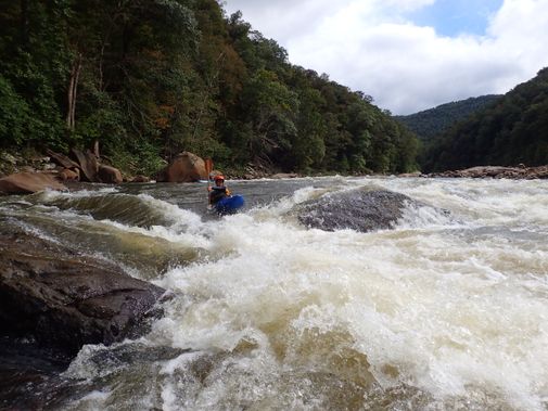
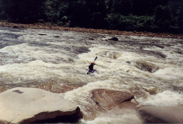
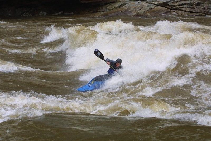
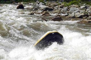
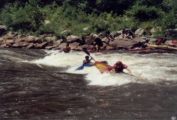
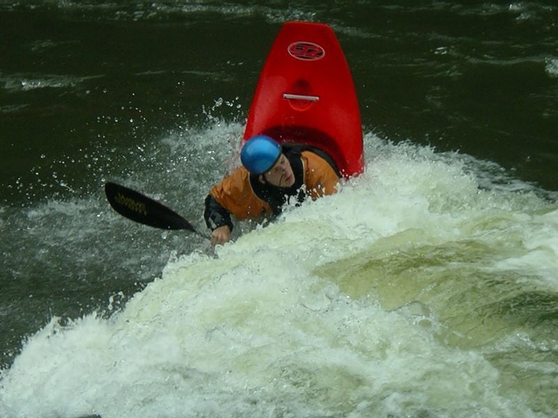
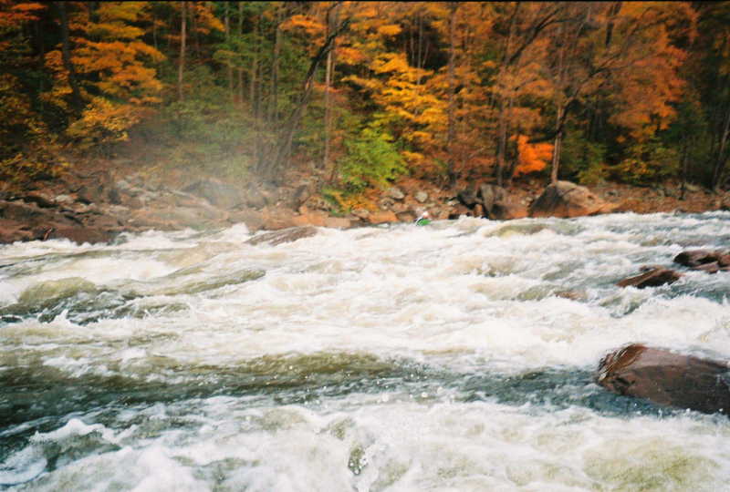
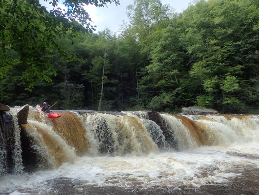
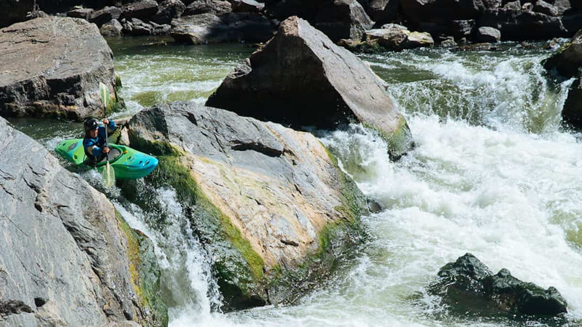
Photo
Photo courtesy of American Whitewater
Description
Put-in - 1 mi north of Albright. From Interstate 68, head South on Route 26. After about ten miles, take a very sharp Right into Teter's Campground, and then take a left into land owned by Friends of the Cheat (donate $2 at the parking lot). This is an AW paddlers' easement at the mouth of Muddy Creek. Or you can put in at the bridge on Rte. 26 (where the paddlers' gauge is located) at Albright.
Location
Interactive river map
Loads as you approach this section.
Other Rapids on This Run (15)
 Rapid
N/A
Rapid
N/A
Put In #1 - Rt. 26 bridge, Albright
 Rapid
III
Rapid
III
Decision
 Rapid
III
Rapid
III
Beech Run
 Playspot
IV
Playspot
IV
Big Nasty
 Rapid
Rapid
Typewriter
 Rapid
III+
Rapid
III+
Even Nastier
 Rapid
III
Rapid
III
Cue Ball
 Rapid
III+
Rapid
III+
Teardrop
 Rapid
IV
Rapid
IV
High Falls
 Rapid
Rapid
Maze (Top)
 Rapid
IV+
Rapid
IV+
Coliseum
 Rapid
IV
Rapid
IV
Pete Morgan - Lower Coliseum
 Rapid
Rapid
Boulder Line Rapid
 Rapid
Rapid
Fossil Falls (Mouth of Connor Run)
 Rapid
N/A
Rapid
N/A
Take Out
View Full Run
2. (Canyon) Albright to Jenkinsburg Bridge
Cheat
III-IV
11.0 mi
Current Conditions
5-Day Forecast
Whitewater data from
American Whitewater
American Whitewater