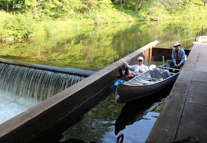
Put-in
WI
Put-in
Save this feature with the run it belongs to.
Gauge Conditions
Runnable: ? – ? CFS
Approximate - nearest available gauge. Use as general reference only.
Data from American Whitewater & USGS
Description
The put-in coordinates listed are on the nearest city street to our access point in order to have GoogleMaps default routing work correctly. The actual put-in appears to be on a public access road (likely mostly for fishermen) which goes to the dam.
Location
Interactive river map
Loads as you approach this section.
Other Rapids on This Run (5)

View Full Run
C) Soo Line Rapids (PnP, or 3.3 miles)
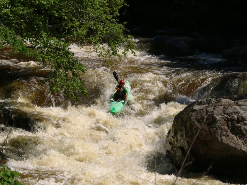
Eau Claire (Chippewa trib.)
I-II
3.0 mi
Current Conditions
5-Day Forecast
Whitewater data from
American Whitewater
American Whitewater