Put-in
IL
Put In
Save this feature with the run it belongs to.
No sufficiently local live gauge linked. 1 automated match was excluded because the closest is 86.4 miles away. Use the parent run and local sources before making a trip decision.
Photo
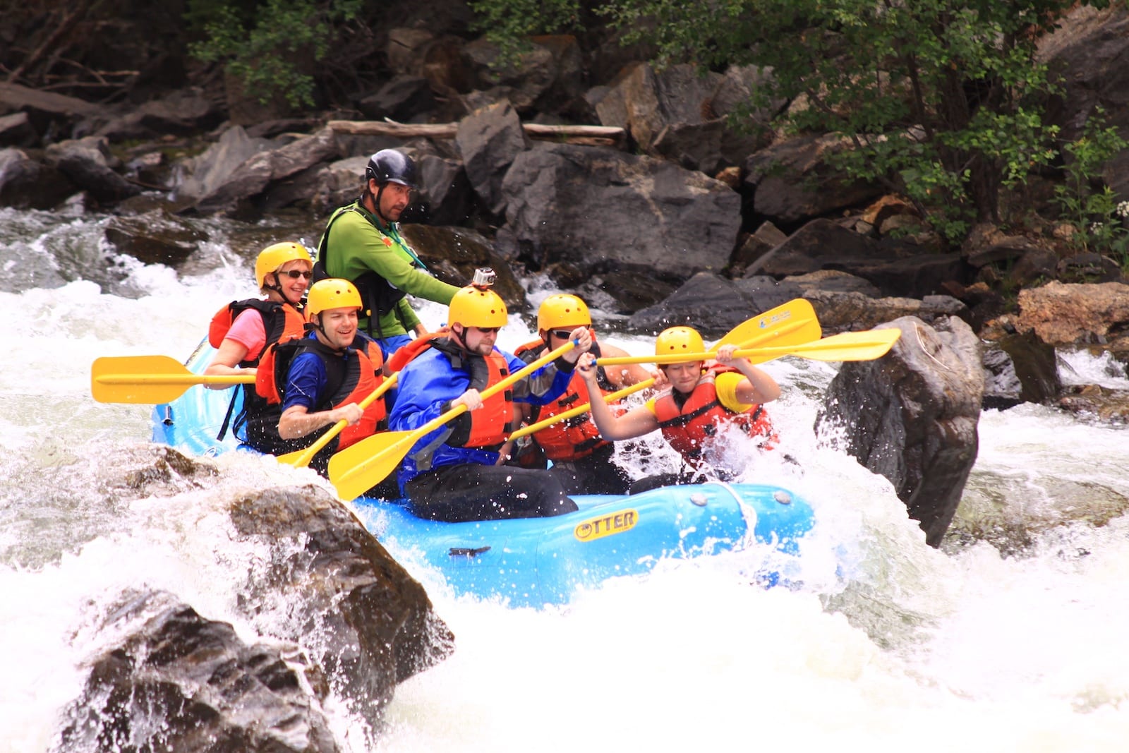
Photo courtesy of American Whitewater
Description
Put In rapid marks the start of the Cedar Creek run, offering paddlers an immediate entry into the creek's flow with scattered boulder gardens and potential tight maneuvering. Local knowledge is crucial, as the rapid's specific characteristics can vary significantly with water levels, requiring careful route selection to avoid potential pin spots and shallow rock formations.
Location
Interactive river map
Loads as you approach this section.
Other Rapids on This Run (3)
View Full Run
Cedar Creek Rd to Peru Bottom Rd (5.9 miles)
Cedar Creek (La Salle Co.)
I-II(IV)
5.7 mi
Current Conditions
5-Day Forecast
Whitewater data from
American Whitewater
American Whitewater