Rapid
WI
Put-in: Drainage area: ~615 sq.mi.
Save this feature with the run it belongs to.
Gauge Conditions
Runnable: 250.0 – 1,200.0 CFS
Likely low to moderate. (Best flows uncertain! Please help your fellow boaters by adding a comment about best flows, and class/difficulty at various flows!)
Data from American Whitewater & USGS
Photo

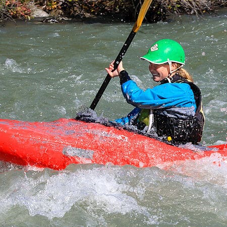
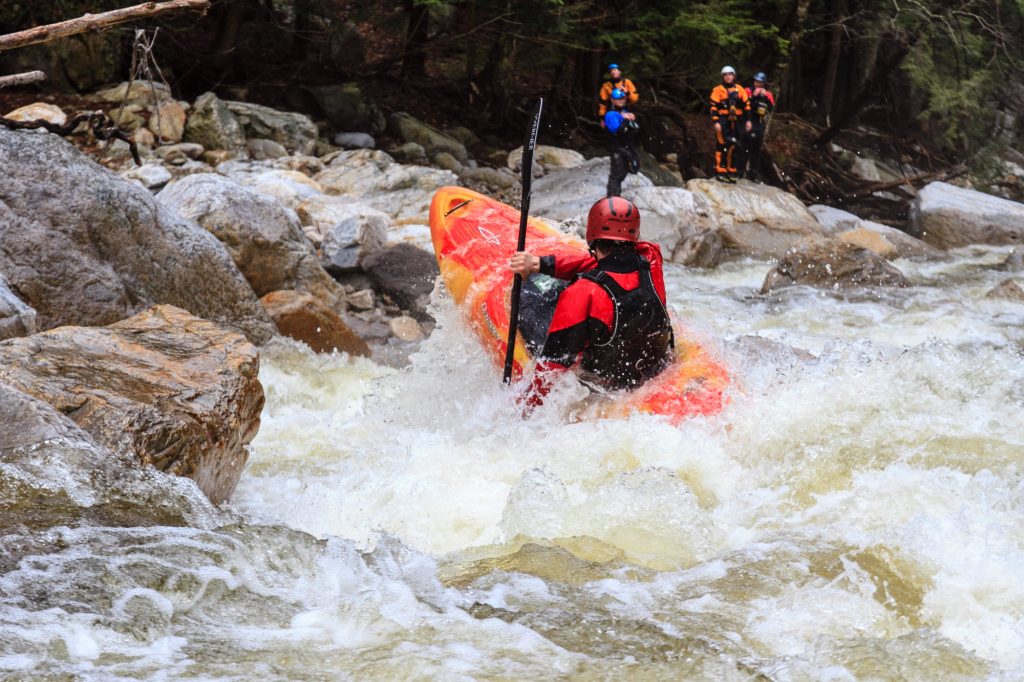
Photo courtesy of American Whitewater
Description
For continuity, and since there are named rapids between here and CTH.M, we list this as the put-in, even though many paddlers (intent only on the best whitewater) just put in at CTH.M.
Drainage at this listed put-in is ~615 square miles. By CTH.M, it has increased to ~661 square miles, and at our listed take-out (not counting Skinner Creek's contribution) it is ~666 square miles (an increase of ~8% from listed put-in to listed take-out).
Location
Interactive river map
Loads as you approach this section.
View Full Run
E) CTH.W to Skinner Creek Landing (11.2 miles)
Flambeau, S.Fk.
II(III)
11.2 mi
Current Conditions
5-Day Forecast
Whitewater data from
American Whitewater
American Whitewater