Take-out
WI
Take Out
Save this feature with the run it belongs to.
Gauge Conditions
Runnable: 250.0 – 1,200.0 CFS
Likely low to moderate. (Best flows uncertain! Please help your fellow boaters by adding a comment about best flows, and class/difficulty at various flows!)
Data from American Whitewater & USGS
Photo
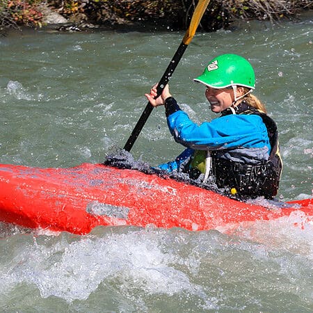
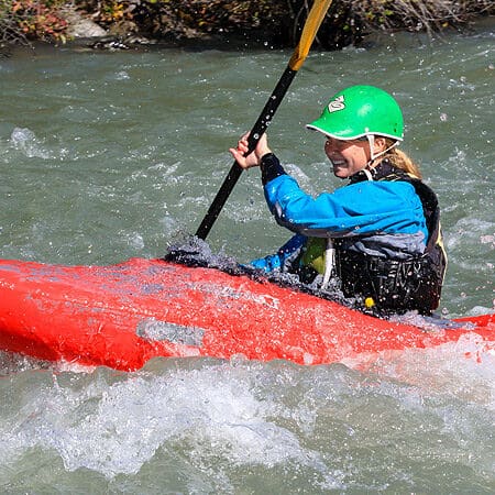
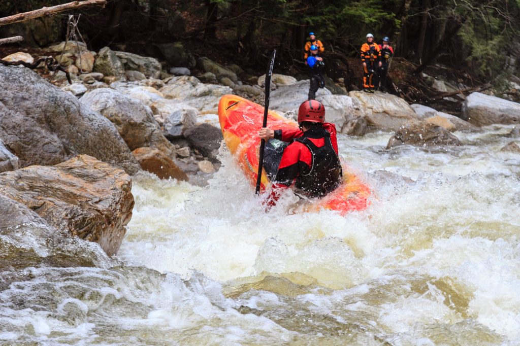
Photo courtesy of American Whitewater
Description
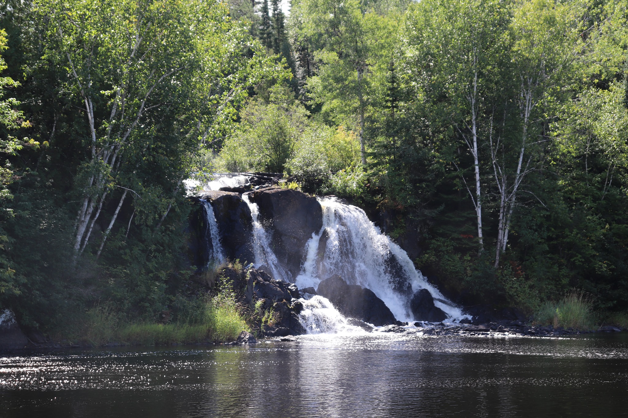
Take Out is a flat, straightforward segment marking the end of this Flambeau River section, serving as a standard exit point for paddlers completing the run. While not technically challenging, careful navigation is required to safely approach and exit the river at the landing, watching for potential shallow areas or submerged obstacles near the Skinner Creek Landing.
Location
Interactive river map
Loads as you approach this section.

View Full Run
E) CTH.W to Skinner Creek Landing (11.2 miles)
Flambeau, S.Fk.
II(III)
11.2 mi
Current Conditions
5-Day Forecast
Whitewater data from
American Whitewater
American Whitewater