Put-in
OH
Put In
Save this feature with the run it belongs to.
Gauge Conditions
Runnable: 500.0 – 1,100.0 CFS
This range is just I starting point. The Ashtabula's drainage basin is extremely close to Conneaut's (12 miles due east as measured using Google Earth.) Conn
Data from American Whitewater & USGS
Photo
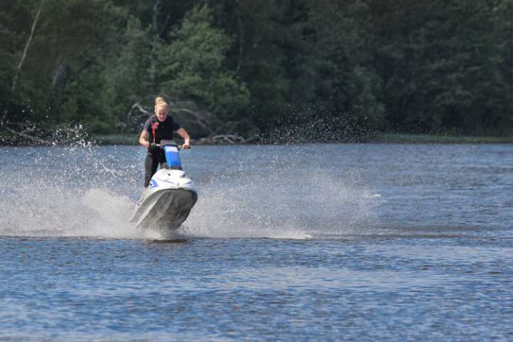
Photo courtesy of American Whitewater
Description
Put In rapid on the Ashtabula River presents minimal technical challenges with a straightforward entry near Green Hill Road. The rapid appears to have limited documented details, suggesting it may be a relatively mild section of water without significant obstacles or notable features that would require specialized navigation techniques.
Location
Interactive river map
Loads as you approach this section.
Other Rapids on This Run (3)
View Full Run
Green Hill Road to Hadlock Ford
Ashtabula
II
3.9 mi
Current Conditions
5-Day Forecast
Whitewater data from
American Whitewater
American Whitewater