Put-in
VT
Put In
Save this feature with the run it belongs to.
Gauge Conditions
Runnable: ? – ? CFS
Approximate - nearest available gauge. Use as general reference only.
Data from American Whitewater & USGS
Photo
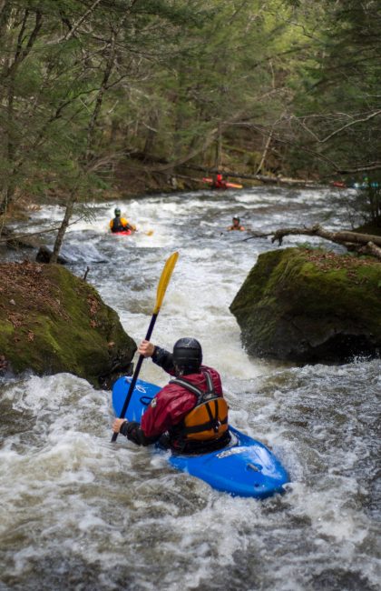
Photo courtesy of American Whitewater
Description
Put In is the initial entry point for this river section, marking the transition from Green River Reservoir to the downstream flow. While specific details about the rapid's technical features are limited, paddlers should be prepared for potential initial navigational challenges and assess water levels and conditions before launching.
Location
Interactive river map
Loads as you approach this section.
Other Rapids on This Run (17)
 Rapid
IV+
Rapid
IV+
Plopp Ploop Fizz Fizz
 Waterfall
V
Waterfall
V
Moonshine
 Rapid
IV
Rapid
IV
Double Squeeze
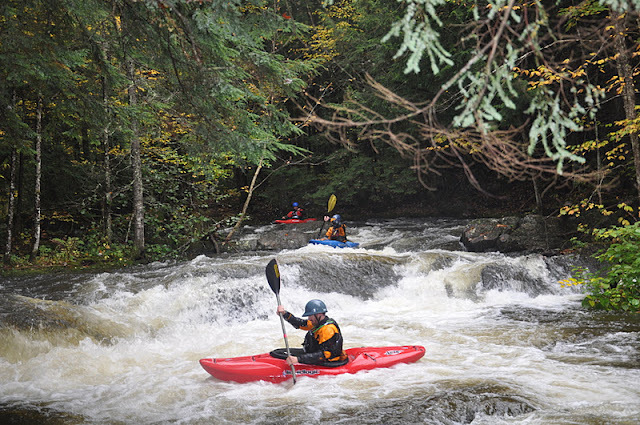 Rapid
III
Rapid
III
Sleeper
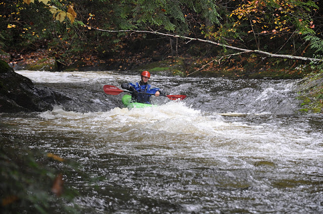 Rapid
III
Rapid
III
Lamo
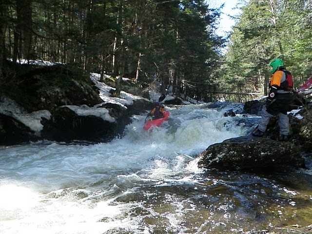 Rapid
III
Rapid
III
Plugger
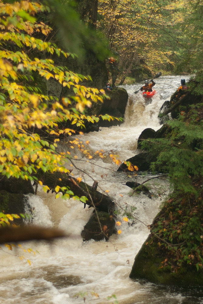 Rapid
V
Rapid
V
Young Buck
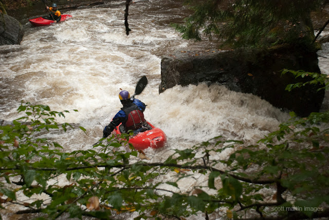 Rapid
III+
Rapid
III+
Cookie Duster
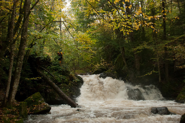 Waterfall
V
Waterfall
V
Humble Pie (aka: Money Shot)
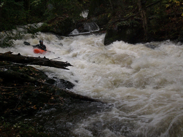 Rapid
III+
Rapid
III+
Doe-Si-Doe
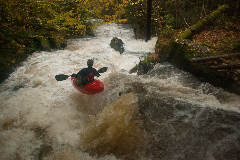 Rapid
IV+
Rapid
IV+
Lumber Yard
 Rapid
III+
Rapid
III+
Twin Ledges
 Rapid
III
Rapid
III
Zag Zig
 Rapid
III
Rapid
III
Boa
 Rapid
IV
Rapid
IV
Runway
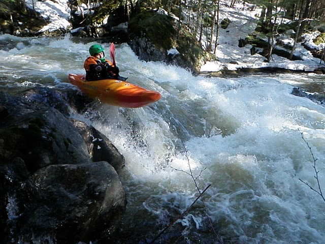 Rapid
IV
Rapid
IV
Piton
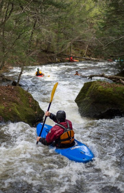 Rapid
N/A
Rapid
N/A
Take Out
View Full Run
Green River Reservoir to Lamoille River
Green River (Lamoille Trib)
IV-V
3.0 mi
Current Conditions
5-Day Forecast
Whitewater data from
American Whitewater
American Whitewater