Skip to content
How's Your River
×
Explore
Explore Map
Water Bodies
Gauges
Access Sites
Tidal Stations
Whitewater
Login
Sign Up
Hazard Warning:
Hazard information may be user-submitted and unverified. Conditions change frequently. Always scout rapids and obstacles yourself.
Whitewater
Georgia
Annewakee - Anneewakee Road to GA Route 166
Put In Hole
Playspot
GA
Class III
Put In Hole
Annewakee - Anneewakee Road to GA Route 166
· GA
American Whitewater
33.7010, -84.6864
Save Place
Save this feature with the run it belongs to.
Water Body
This Run
Map
Other Rapids
Gauge
Weather
Directions
Gauge Conditions
Sweetwater Creek near Austell, GA
Upstream
Primary
Runnable: 800.0 – 4,000.0 CFS
Data from
American Whitewater
&
USGS
Photo
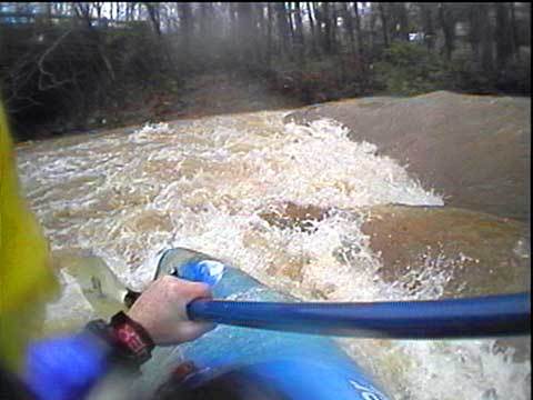
Photo courtesy of
American Whitewater
Description
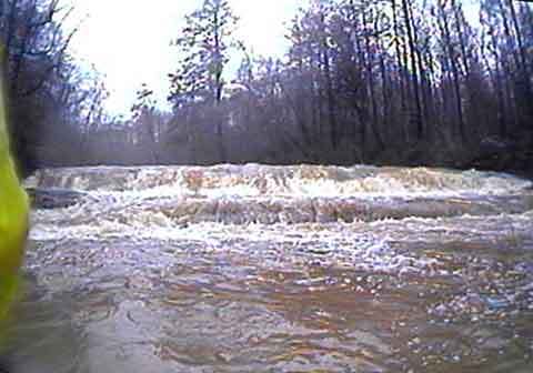
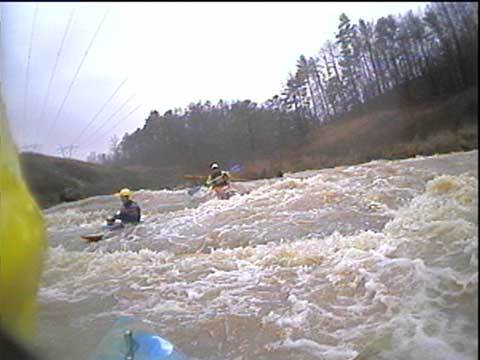
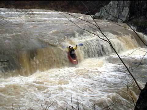
This river wide hole makes a great warm-up spot. The river left side is a cool seam. The river right side is a bigger hole/wave with great play, However... it's quite difficult to make a graceful exit from this side.
Location
Radar
Counties
Coverage
Verizon
AT&T
T-Mobile
US Cellular
Dark
Satellite
Terrain
Other Rapids on This Run (4)
Waterfall
III
AnneWakeup!
0.8 mi
Playspot
II+
PowerLine
0.9 mi
Waterfall
IV
PowerSLAM!
1.0 mi
Rapid
N/A
Take Out
3.5 mi
Type
Playspot
Difficulty
Class III
Mile Marker
0.0 mi
Directions
Navigate
View Full Run
Anneewakee Road to GA Route 166
Annewakee
II-III+(IV)
3.7 mi
Current Conditions
5-Day Forecast
Whitewater data from
American Whitewater
Put In Hole