Gauge Conditions
Runnable: ? – ? CFS
Approximate - nearest available gauge. Use as general reference only.
Data from American Whitewater & USGS
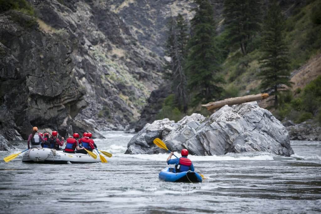
Photo
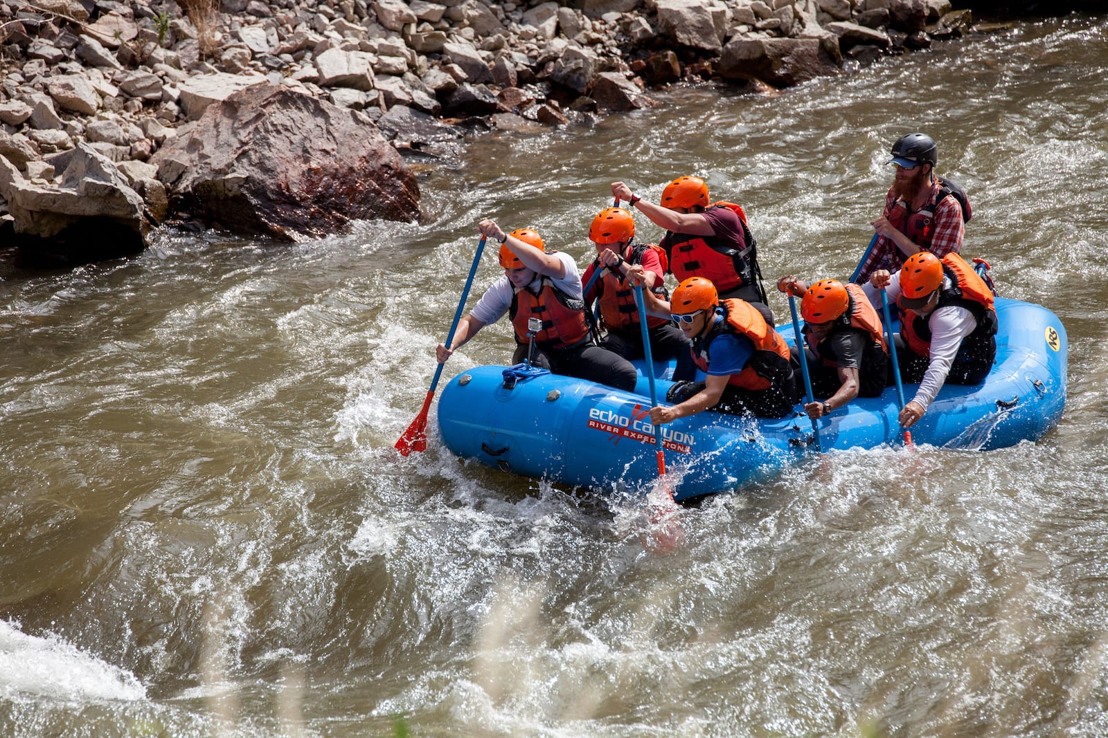
Photo courtesy of American Whitewater
Description
Put In rapid serves as the entry point for the De Roche Creek run, marking the transition from flat water to moving current. While specific details are limited, paddlers should be prepared for potential initial navigational challenges and assess water levels carefully before launching. No definitive hazards are documented, but standard whitewater precautions are recommended.
Location
Other Rapids on This Run (1)
View Full Run
Hwy 283 to Hwy 67 (4.4 miles)
De Roche Creek
II-III
5.8 mi
Current Conditions
5-Day Forecast
Whitewater data from
American Whitewater
American Whitewater