Gauge Conditions
Runnable: ? – ? CFS
Approximate - nearest available gauge. Use as general reference only.
Data from American Whitewater & USGS
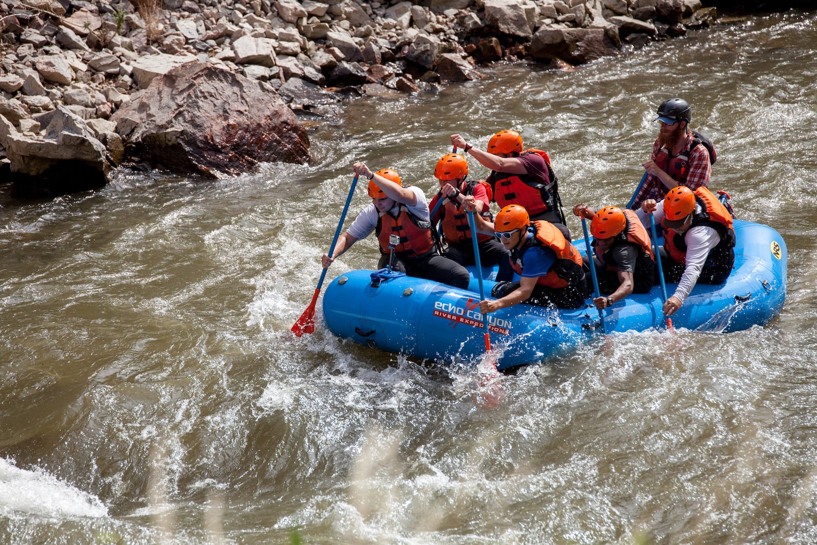
Photo
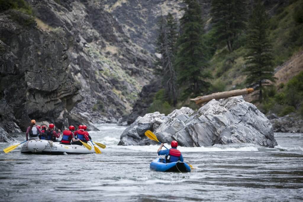
Photo courtesy of American Whitewater
Description
Take Out rapid features an unmarked entry with potential submerged debris and shifting boulder configuration that can create unpredictable hydraulics. Paddlers should scout thoroughly from river right and identify a clean line that avoids the central rock cluster and potential keeper hole near the river's midpoint. Low water conditions can expose additional hazards, so careful route selection and precise boat positioning are critical for safe passage.
Location
Other Rapids on This Run (1)
View Full Run
Hwy 283 to Hwy 67 (4.4 miles)
De Roche Creek
II-III
5.8 mi
Current Conditions
5-Day Forecast
Whitewater data from
American Whitewater
American Whitewater