Gauge Conditions
Data from American Whitewater & USGS
Photo
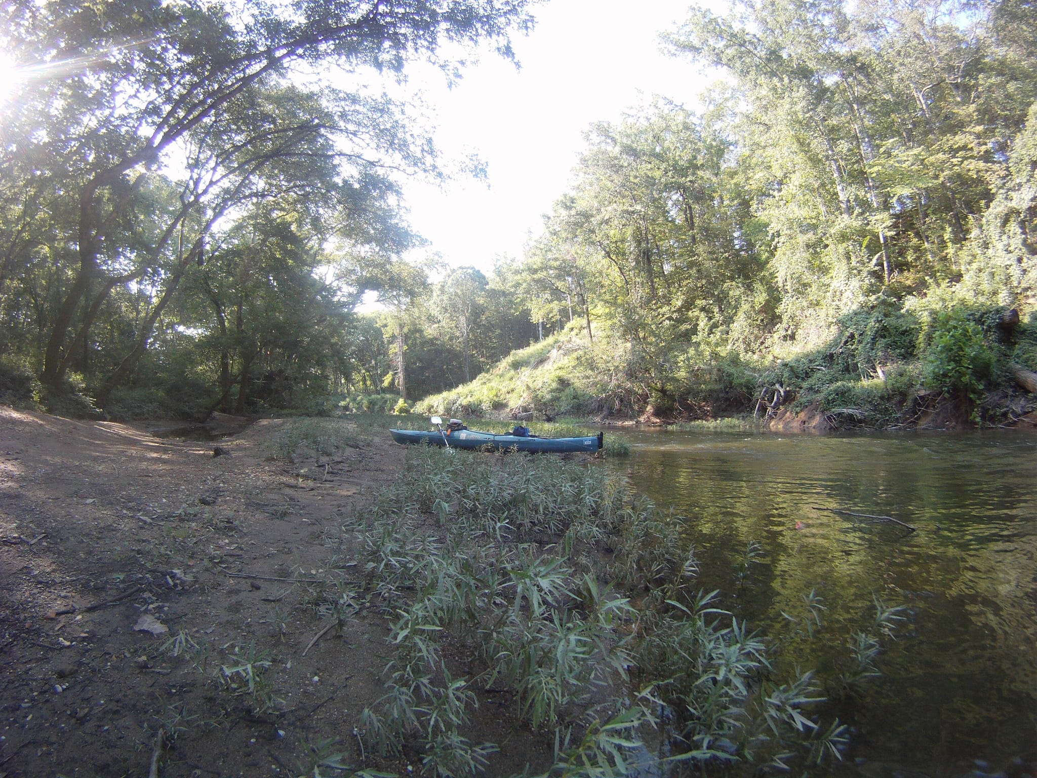
Photo courtesy of American Whitewater
Description
Put In serves as the starting point for this extended Saline River run, offering paddlers an initial entry into the river's character. While specific technical details are limited, the rapid likely presents basic navigation challenges typical of an Ozark mountain stream, with potential for variable water levels and early route-finding considerations for the downstream 24-mile journey.
Location
Other Rapids on This Run (1)

View Full Run
Hwy 5 to Saline Crossing Regional Park (24.1 miles)
Saline, Alum Fork
I-II
22.3 mi
Current Conditions
5-Day Forecast
Whitewater data from
American Whitewater
American Whitewater