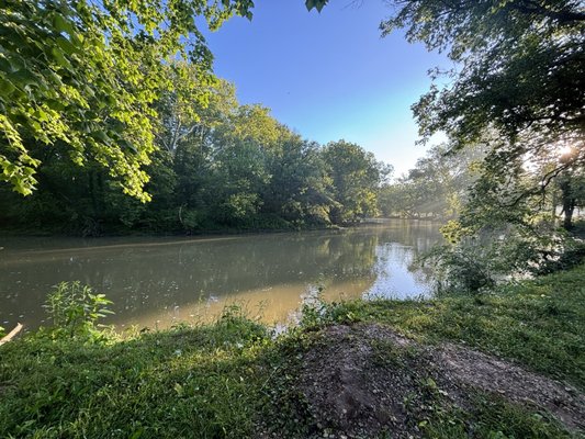
Put-in
IN
Put In
Save this feature with the run it belongs to.
Gauge Conditions
Runnable: 200.0 – 1,500.0 CFS
Sweet level. Very playable.
Data from American Whitewater & USGS
Photo
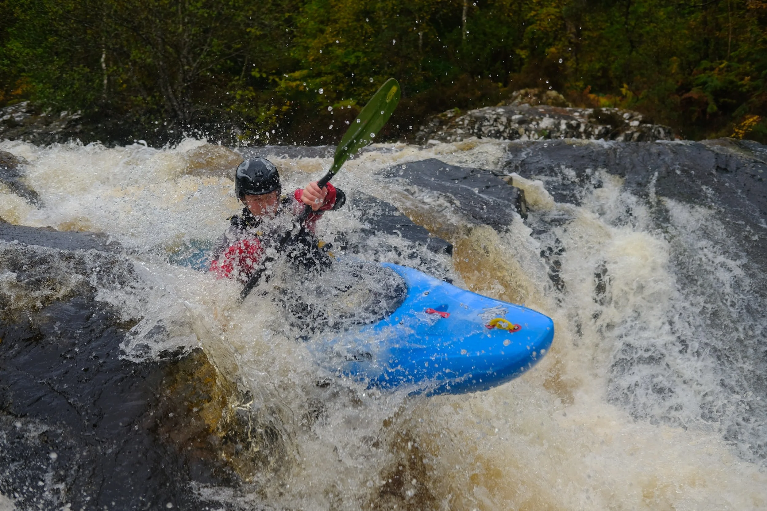
Photo courtesy of American Whitewater
Description
Put In rapid marks the start of the run, offering a relatively straightforward entry into the Flatrock River with minimal technical challenges. Paddlers should be prepared for potential shallow water and scattered rocks near the put-in point, which can require careful navigation depending on water levels.
Location
Other Rapids on This Run (2)
View Full Run
Old U.S. Hwy 421 to Conns Creek (6.8 miles)
Flatrock
I(III)
7.0 mi
Current Conditions
5-Day Forecast
Whitewater data from
American Whitewater
American Whitewater