Put-in
WI
Put In
Save this feature with the run it belongs to.
No sufficiently local live gauge linked. 1 automated match was excluded because the closest is 194.5 miles away. Use the parent run and local sources before making a trip decision.
Photo
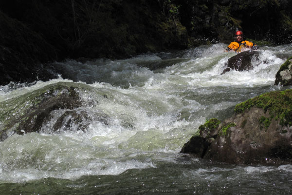
Photo courtesy of American Whitewater
Description
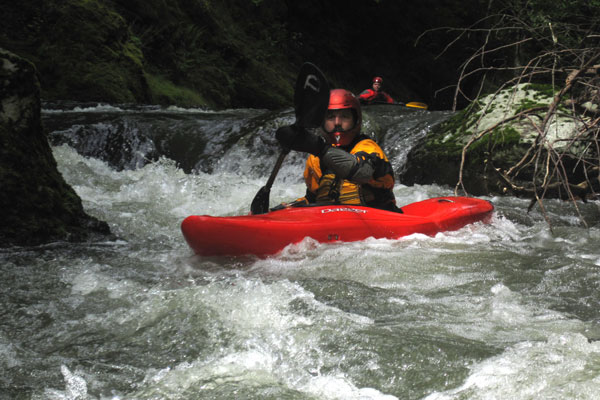
Put In rapid serves as the entry point for this Devils River section, offering paddlers an immediate introduction to the river's character. While specific details are limited, the rapid likely presents initial navigational challenges that set the tone for the downstream run. Paddlers should approach with caution and assess the water conditions carefully before committing to the descent.
Location
Interactive river map
Loads as you approach this section.


View Full Run
Pleasant Road to Hwy.147 (4 miles)
Devils
II-III(IV)
3.7 mi
Current Conditions
5-Day Forecast
Whitewater data from
American Whitewater
American Whitewater