Put-in
WV
Put In
Save this feature with the run it belongs to.
Gauge Conditions
Data from American Whitewater & USGS
Photo
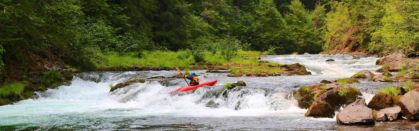
Photo courtesy of American Whitewater
Description
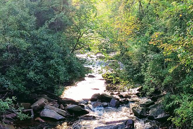
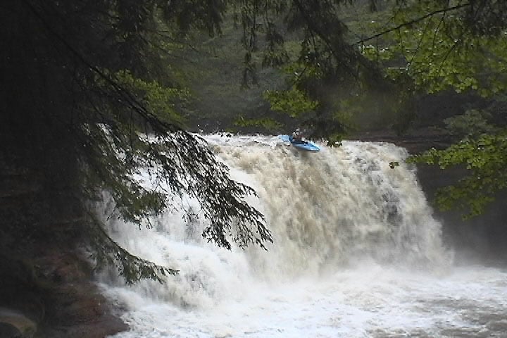
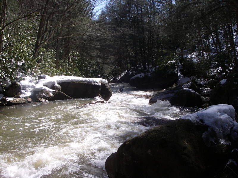
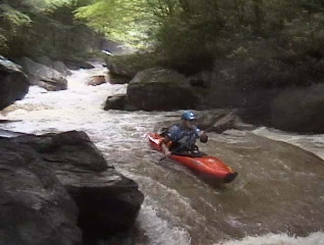
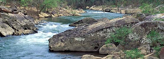
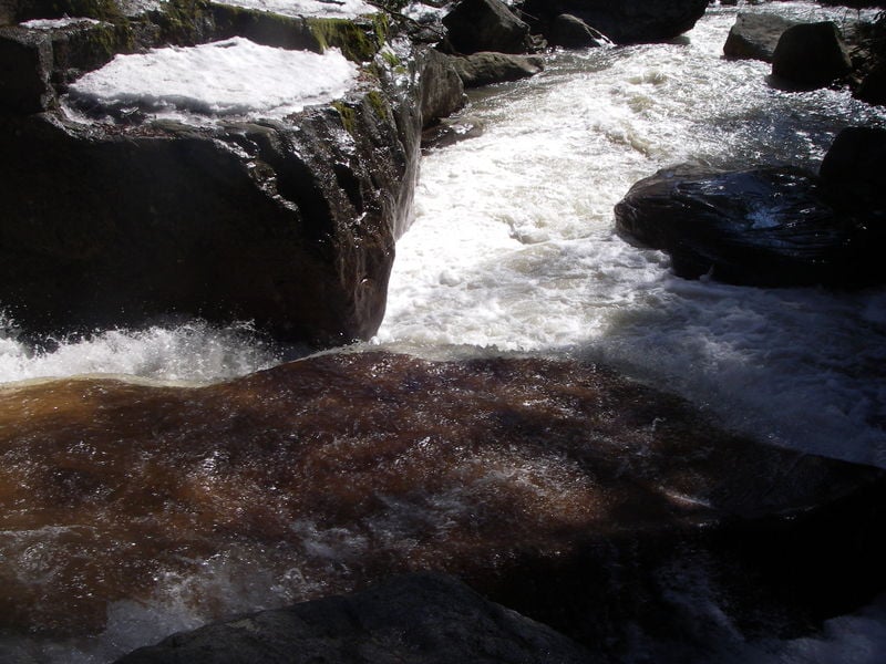
Put In is the initial access point and launch area for the North Fork Blackwater run, characterized by a relatively straightforward entry with minimal immediate technical challenges. Paddlers should be aware of potential debris and shallow spots near the put-in, and carefully scout the initial stretch to identify any hazards or unexpected water conditions.
Location
Interactive river map
Loads as you approach this section.
Other Rapids on This Run (11)
View Full Run
Rt. 219 to confluence with Blackwater River
Blackwater, North Fork
V+
3.7 mi
Current Conditions
5-Day Forecast
Whitewater data from
American Whitewater
American Whitewater