Take-out
WV
Take Out
Save this feature with the run it belongs to.
Gauge Conditions
Data from American Whitewater & USGS
Photo

Photo courtesy of American Whitewater
Description
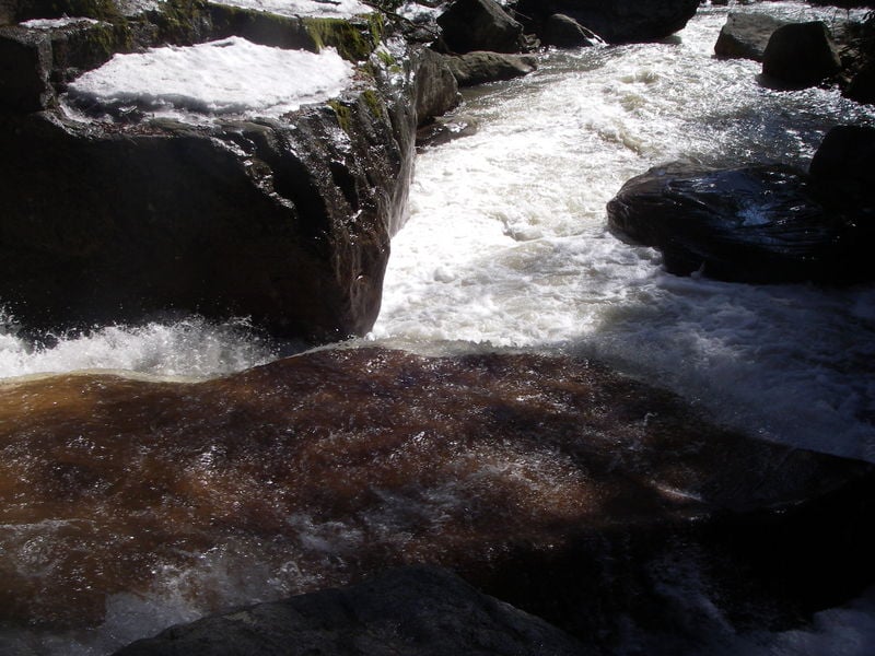
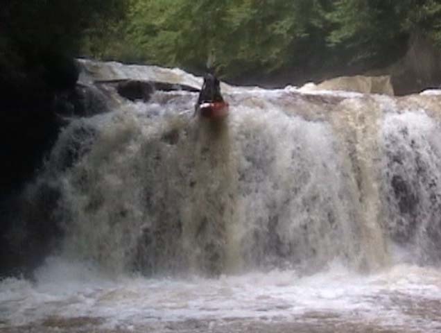
Take Out is the terminal rapid at the confluence of the North Fork and main Blackwater River, marked by a complex merge of currents and potential debris accumulation from upstream sections. Paddlers should anticipate potential shifting hydraulics and scattered rock gardens that can create unpredictable water movement, especially during varying water levels. While difficulty is unclassified, careful line selection and situational awareness are crucial when navigating this terminal stretch.
Location
Interactive river map
Loads as you approach this section.
Other Rapids on This Run (11)
View Full Run
Rt. 219 to confluence with Blackwater River
Blackwater, North Fork
V+
3.7 mi
Current Conditions
5-Day Forecast
Whitewater data from
American Whitewater
American Whitewater