Put-in
WI
Put In
Save this feature with the run it belongs to.
Gauge Conditions
Runnable: 9.0 – 16.0 FT
Probably too low. (Likely less than 150 cfs.) We could use your input! Leave a comment or report!
Data from American Whitewater & USGS
Photo
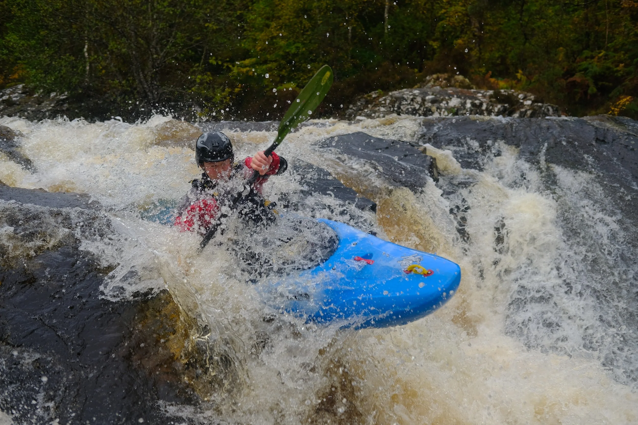
Photo courtesy of American Whitewater
Description
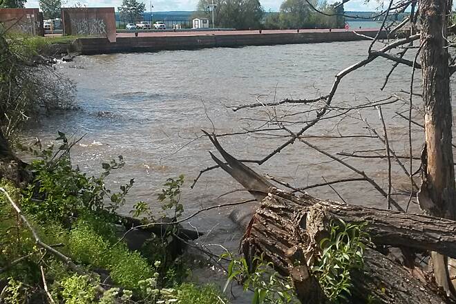
Put In is the initial access point for this Amnicon River run, featuring a straightforward entry with minimal technical challenges. Paddlers should be aware of potential shallow areas and small rock gardens near the launch, which can require careful navigation depending on water levels.
Location
Interactive river map
Loads as you approach this section.
Other Rapids on This Run (15)
 Rapid
N/A
Rapid
N/A
Drainage: ~108 sq.mi.
 Rapid
N/A
Rapid
N/A
CTH.E
 Rapid
N/A
Rapid
N/A
Hwy.53
 Rapid
N/A
Rapid
N/A
possible alternate access
 Rapid
N/A
Rapid
N/A
Rapids
 Waterfall
N/A
Waterfall
N/A
Rapids
 Rapid
N/A
Rapid
N/A
Hwy.2: Drainage 113 sq.mi.
 Rapid
N/A
Rapid
N/A
Tri-County Corridor Bridge
 Rapid
N/A
Rapid
N/A
Park Road
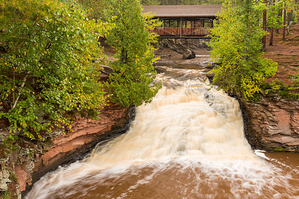 Rapid
N/A
Rapid
N/A
Island
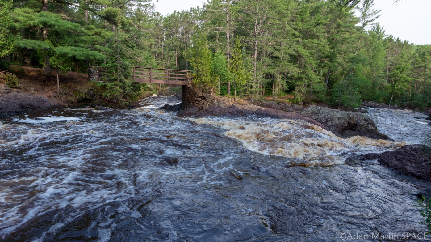 Waterfall
IV+
Waterfall
IV+
Upper Falls
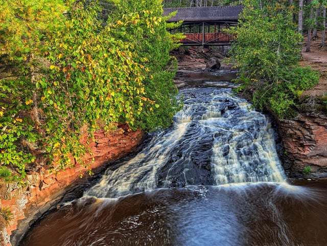 Waterfall
III+
Waterfall
III+
Lower Falls
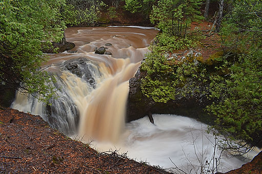 Waterfall
IV+
Waterfall
IV+
Snake Pit Falls
Rapid
N/A
Rapids
 Rapid
N/A
Rapid
N/A
Take Out
View Full Run
Sam Anderson Road to CTH.U (0.33-6 miles)
Amnicon
II-IV+
5.8 mi
Current Conditions
5-Day Forecast
Whitewater data from
American Whitewater
American Whitewater