Put-in
GA
Put-In
Save this feature with the run it belongs to.
Gauge Conditions
Data from American Whitewater & USGS
Photo
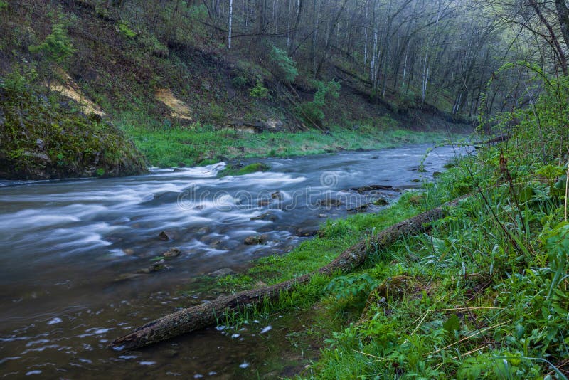
Photo courtesy of American Whitewater
Description
Put in either just downstream of the Eagle Scout's pedestrian bridge over the unnamed stream, or shortly downstream where the unnamed stream joins Boggs Creek.
Location
Interactive river map
Loads as you approach this section.
Other Rapids on This Run (16)
 Hazard
III
Hazard
III
Branches Left
 Hazard
II
Hazard
II
Skini Mini
 Hazard
III
Hazard
III
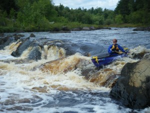
Upper Gorge
 Hazard
III+
Hazard
III+
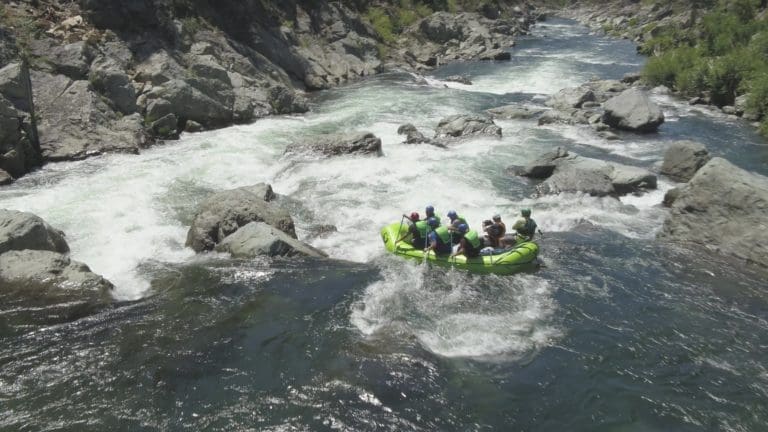
Twisted Sister
 Hazard
II+
Hazard
II+
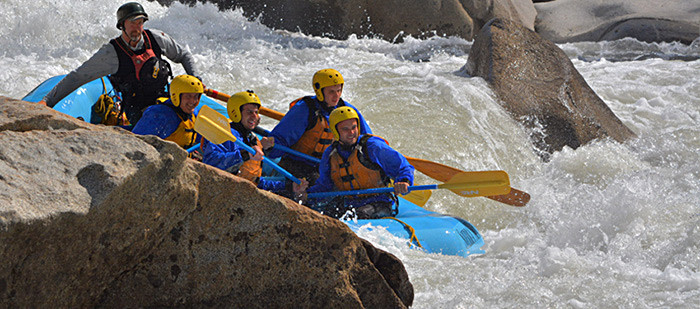
Middle Gorges
 Hazard
III
Hazard
III
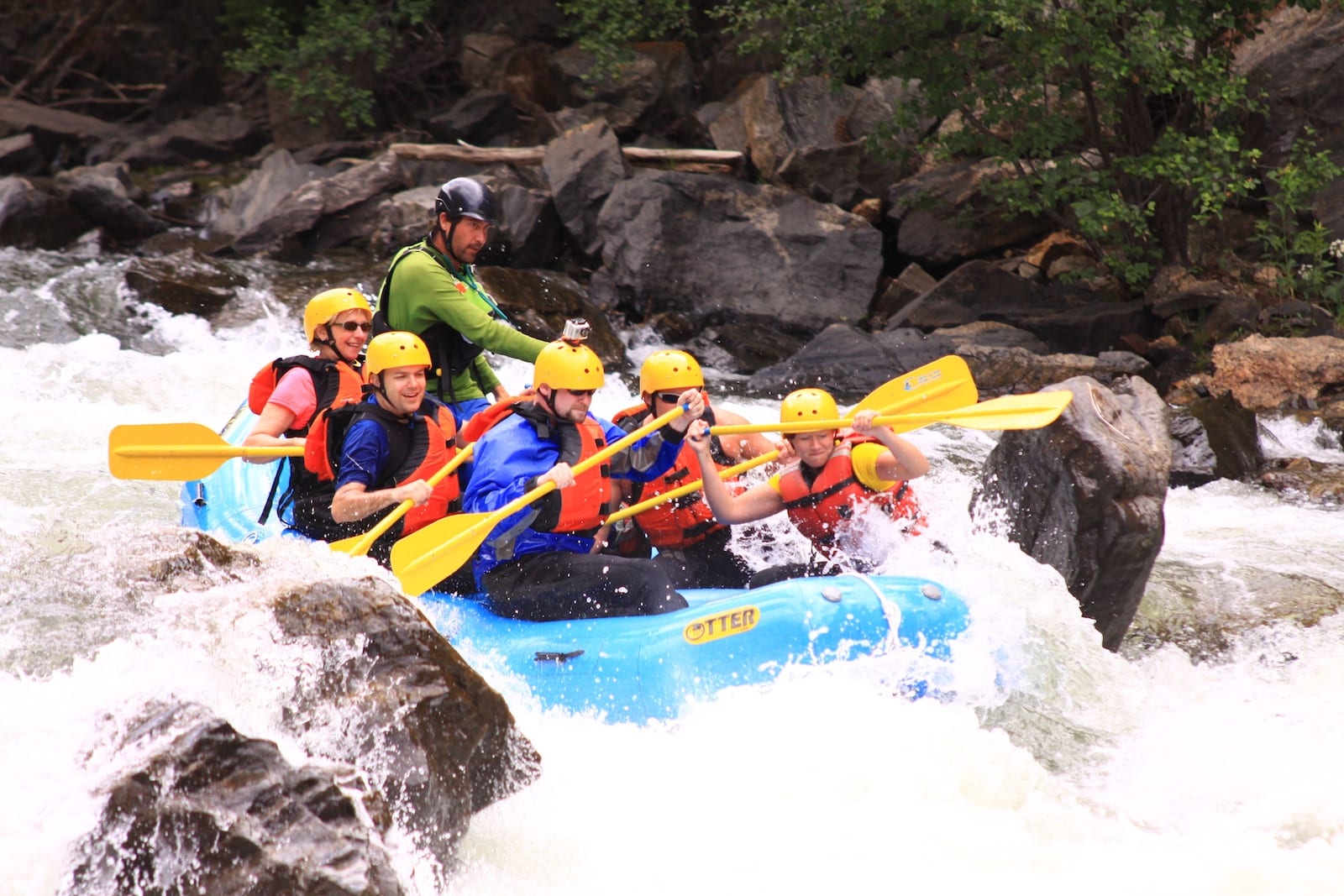
Flat Rock
 Hazard
II
Hazard
II
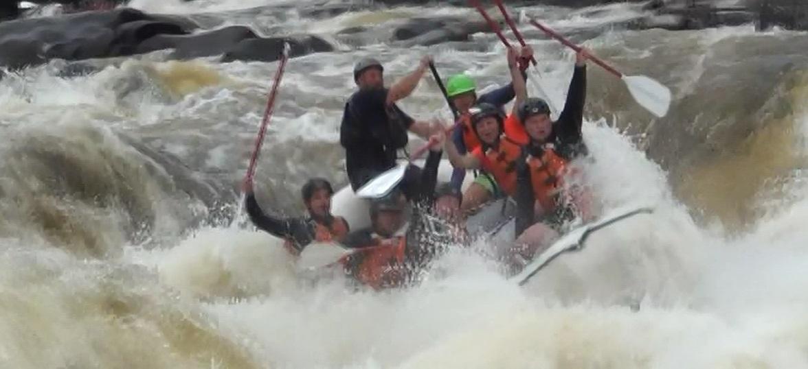
Center Rock
 Hazard
II+
Hazard
II+
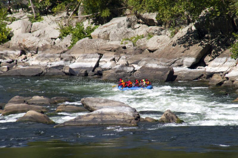
Three Rocks
 Hazard
III+
Hazard
III+
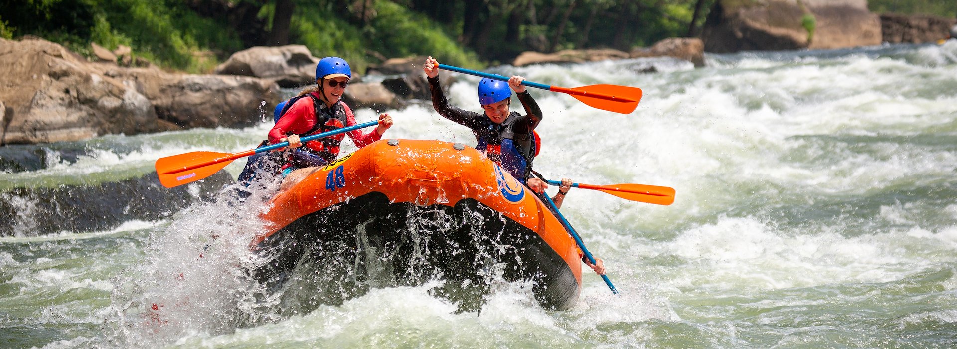
Right-N-Left
 Hazard
III+
Hazard
III+
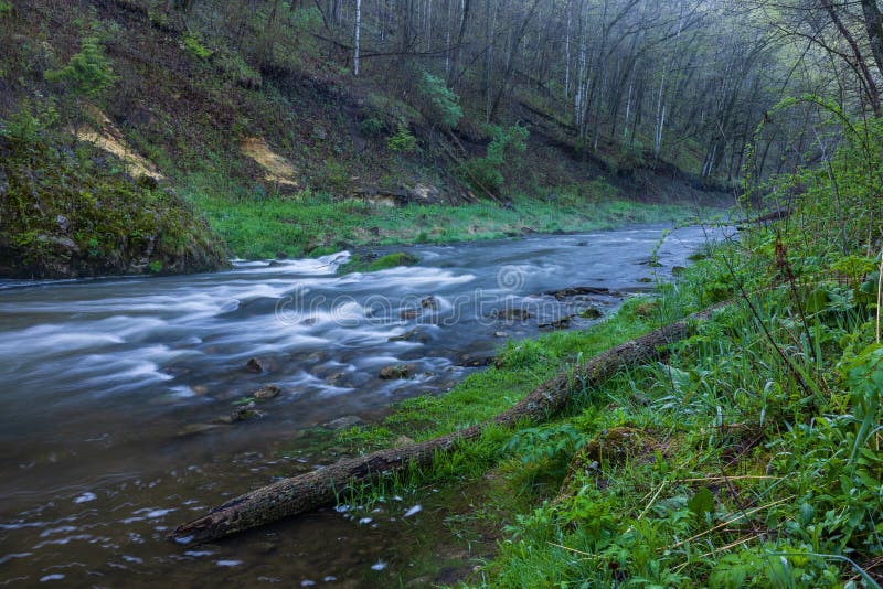
Lower Gorge
 Hazard
II+
Hazard
II+
Logjam
 Hazard
No Fishing
 Rapid
Rapid
Highway 19/129 Bridge
 Hazard
II+
Hazard
II+
Hairpin
 Hazard
Chestatee River
 Rapid
Rapid
Take-Out
View Full Run
USFS Campground to Turner's Corner
Boggs Creek
II-III+
2.3 mi
Current Conditions
5-Day Forecast
Whitewater data from
American Whitewater
American Whitewater