Ralton's Rip (aka Dells)
Save this feature with the run it belongs to.
Gauge Conditions
Runnable: ? – ? CFS
Approximate - nearest available gauge. Use as general reference only.
Data from American Whitewater & USGS
Photo
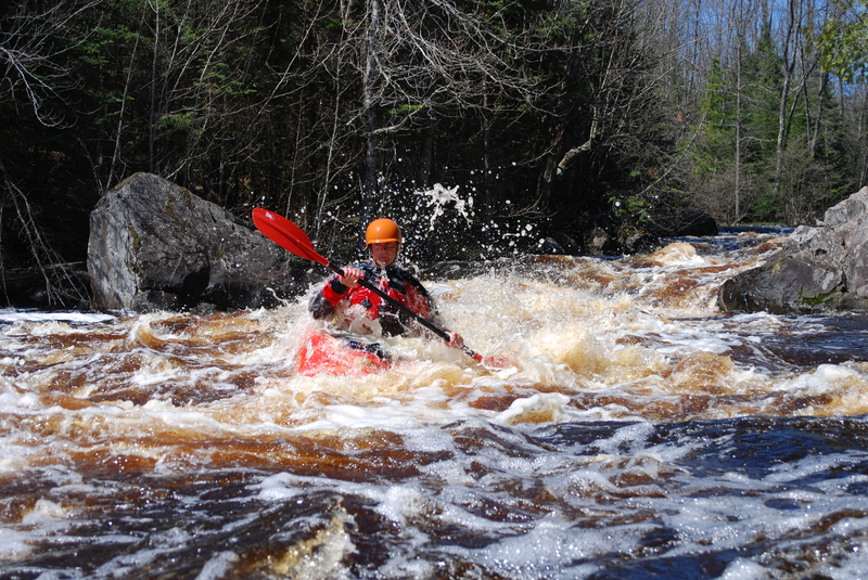
Photo courtesy of American Whitewater
Description
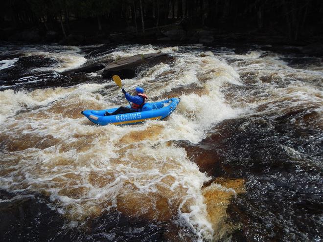
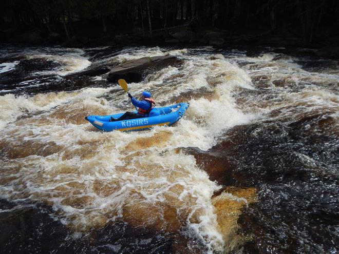
An island splits the flow. To the left, the river is (fairly) tame. To the right, a complex series of maneuvering awaits. A series of ledges and waves ensues until the currents from the other channel rejoin. At high flows, this will be a hand full.
Location
Interactive river map
Loads as you approach this section.
View Full Run
B) Burnt Bridge (FS2134) to Goodman Park Rd (FS 2136) (6.1 miles)
Peshtigo
I-II+(III)
6.2 mi
Current Conditions
5-Day Forecast
Whitewater data from
American Whitewater
American Whitewater