Rapid
MN
Rapids
Save this feature with the run it belongs to.
Gauge Conditions
Runnable: 300.0 – 1,000.0 CFS
Likely too low. Correlation to reference gauge uncertain. Visual inspection required.
Data from American Whitewater & USGS
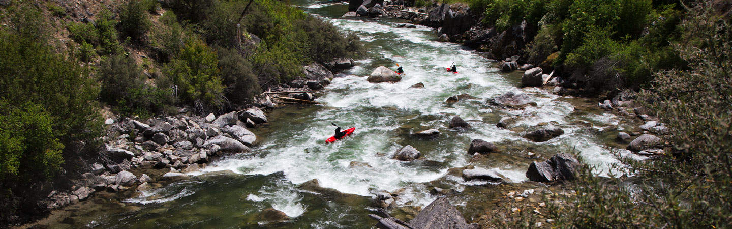
Photo
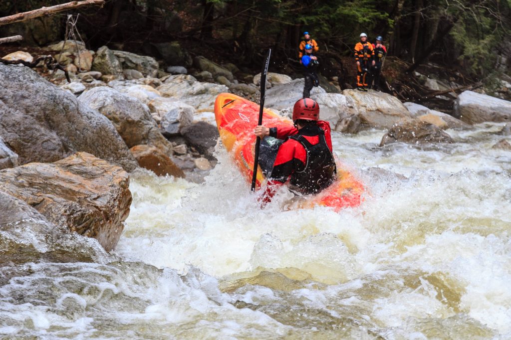
Photo courtesy of American Whitewater
Description
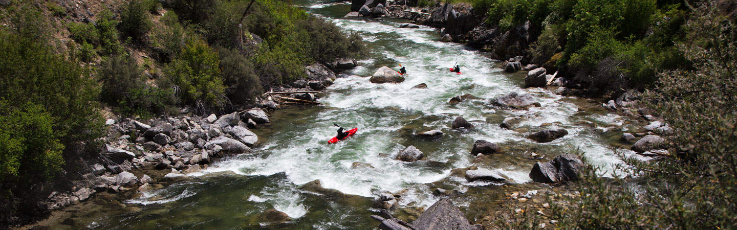
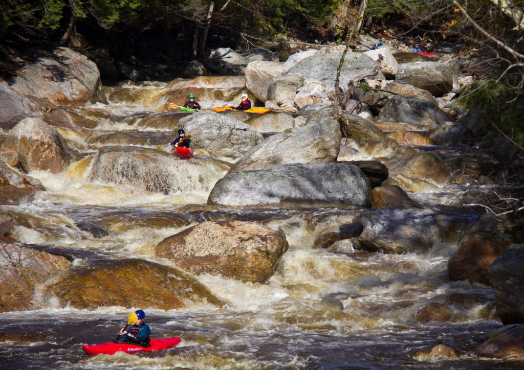
The Big Sucker Creek rapids present an unmarked and potentially unpredictable stretch of water with limited beta on specific hazards. Paddlers should expect variable conditions and be prepared for potential obstacles like submerged rocks or shifting water levels typical of smaller Minnesota streams. Given the lack of difficulty rating, extreme caution and thorough scouting are recommended before attempting this section.
Location
Interactive river map
Loads as you approach this section.
Other Rapids on This Run (20)
 Rapid
N/A
Rapid
N/A
Put In
 Rapid
N/A
Rapid
N/A
Ledge
 Rapid
N/A
Rapid
N/A
Ledge
 Rapid
N/A
Rapid
N/A
Rocks/Ledge
 Rapid
N/A
Rapid
N/A
Ryan Road/FR10
 Rapid
N/A
Rapid
N/A
Berquist Road/258
 Rapid
N/A
Rapid
N/A
Powerline Crossing
 Rapid
N/A
Rapid
N/A
Rapids Sequence
 Rapid
N/A
Rapid
N/A
Quick Drop
 Rapid
N/A
Rapid
N/A
Five Step
 Rapid
N/A
Rapid
N/A
Old North Shore Road/290
 Rapid
N/A
Rapid
N/A
Short Slide?
 Rapid
N/A
Rapid
N/A
Hwy.61
 Rapid
N/A
Rapid
N/A
Ledges
 Rapid
N/A
Rapid
N/A
Ledge/slide
 Rapid
N/A
Rapid
N/A
RR & Old Hwy.61
 Rapid
N/A
Rapid
N/A
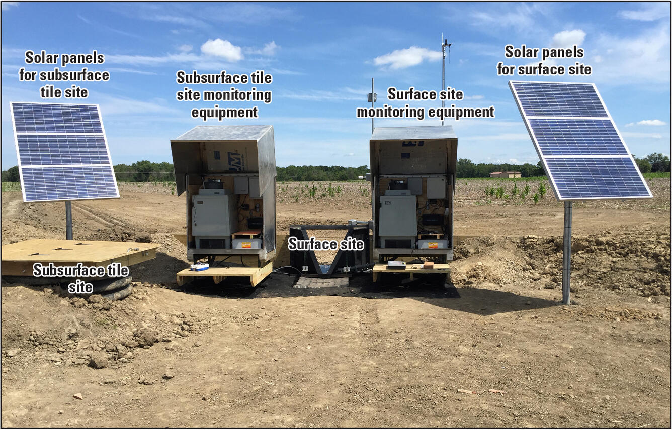
USGS sampling site
 Rapid
N/A
Rapid
N/A
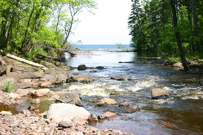
Mouth of the Sucker
 Rapid
N/A
Rapid
N/A
Take Out
 Rapid
N/A
Rapid
N/A
Public Beach / Landing
View Full Run
Cty 33 to Lake Superior (6.5 miles)
Big Sucker Creek
III-IV+(V)
5.8 mi
Current Conditions
5-Day Forecast
Whitewater data from
American Whitewater
American Whitewater