Rapid
MN
Rocks/Ledge
Save this feature with the run it belongs to.
Gauge Conditions
Runnable: 300.0 – 1,000.0 CFS
Likely too low. Correlation to reference gauge uncertain. Visual inspection required.
Data from American Whitewater & USGS
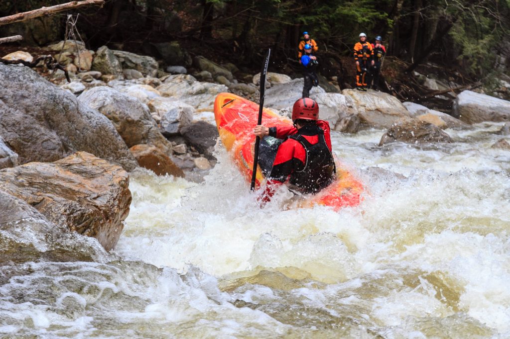
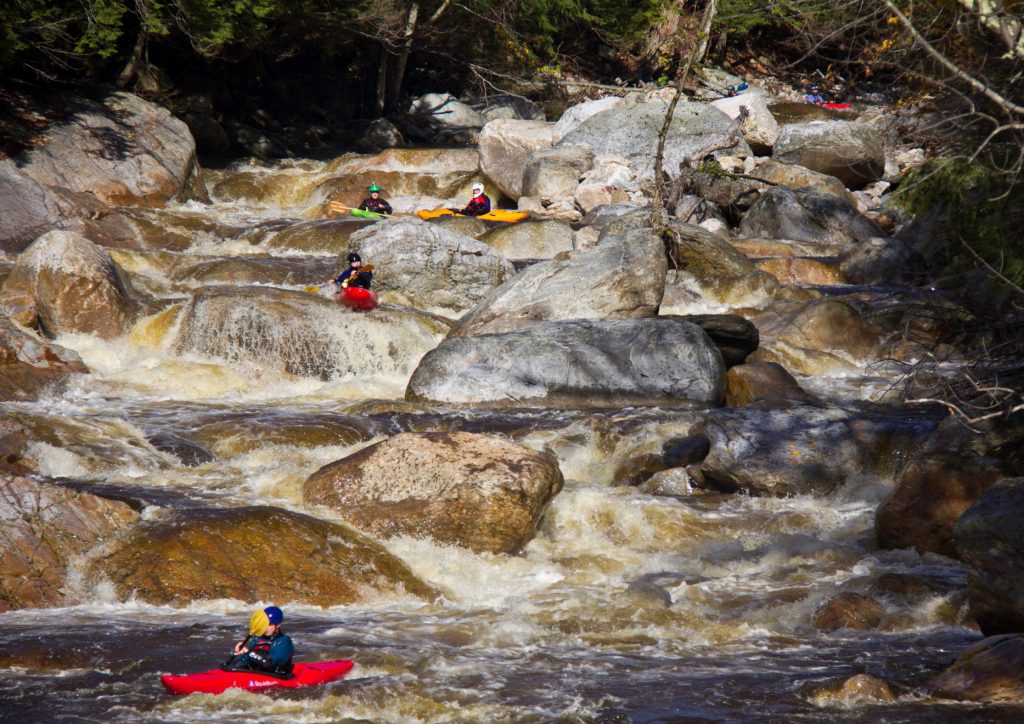
Photo
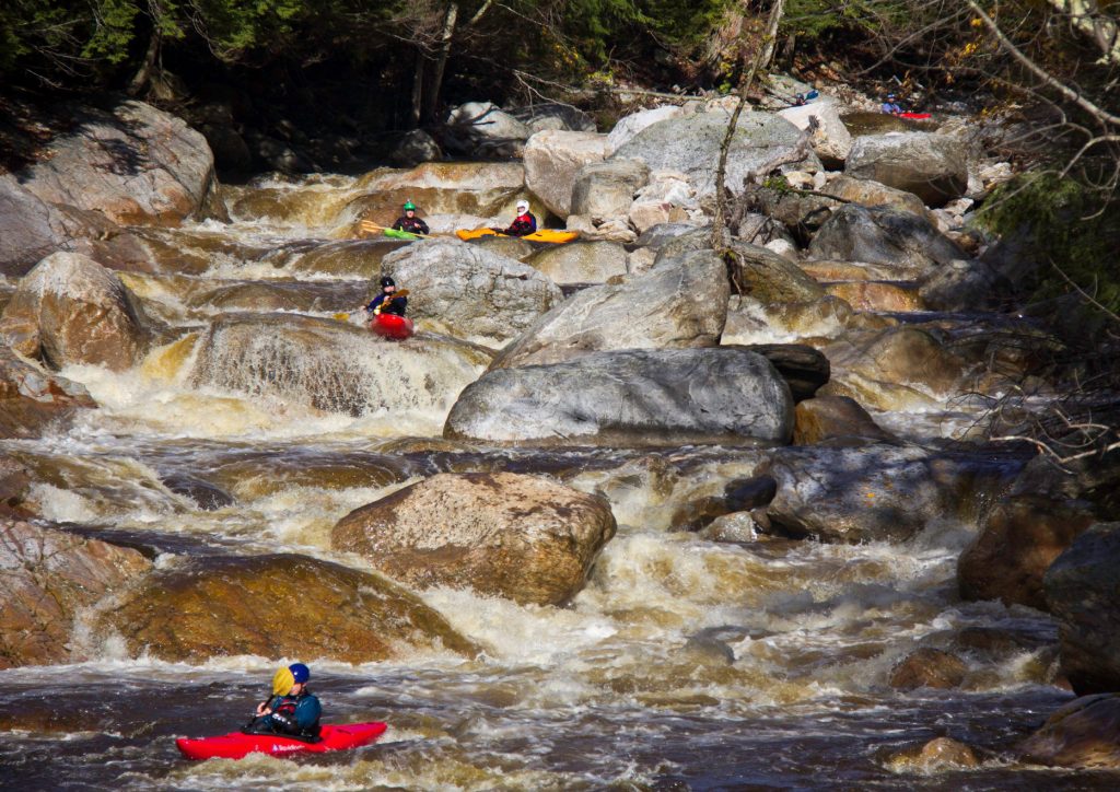
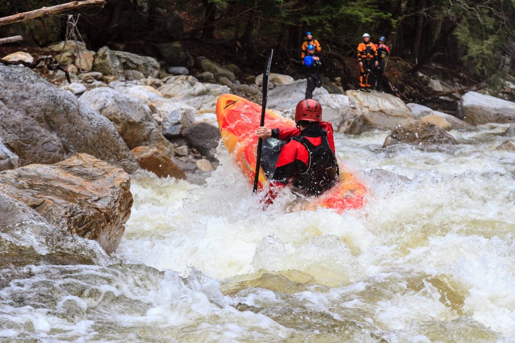
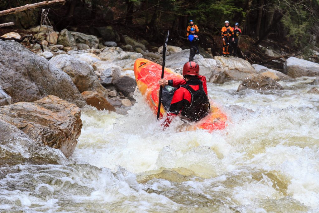
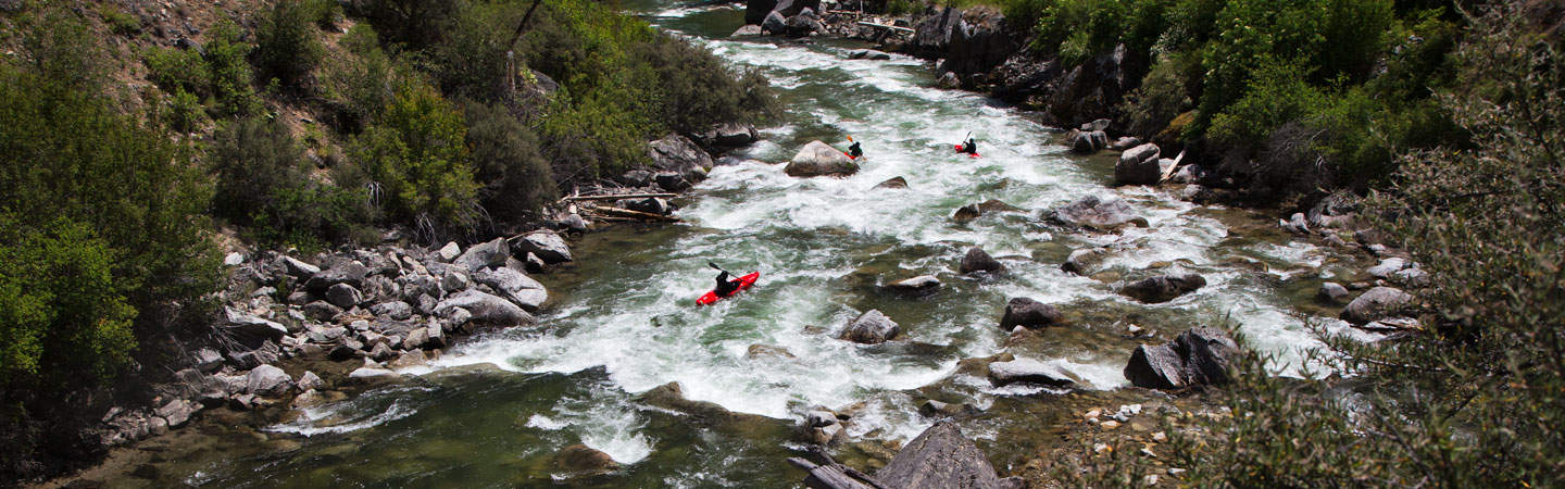
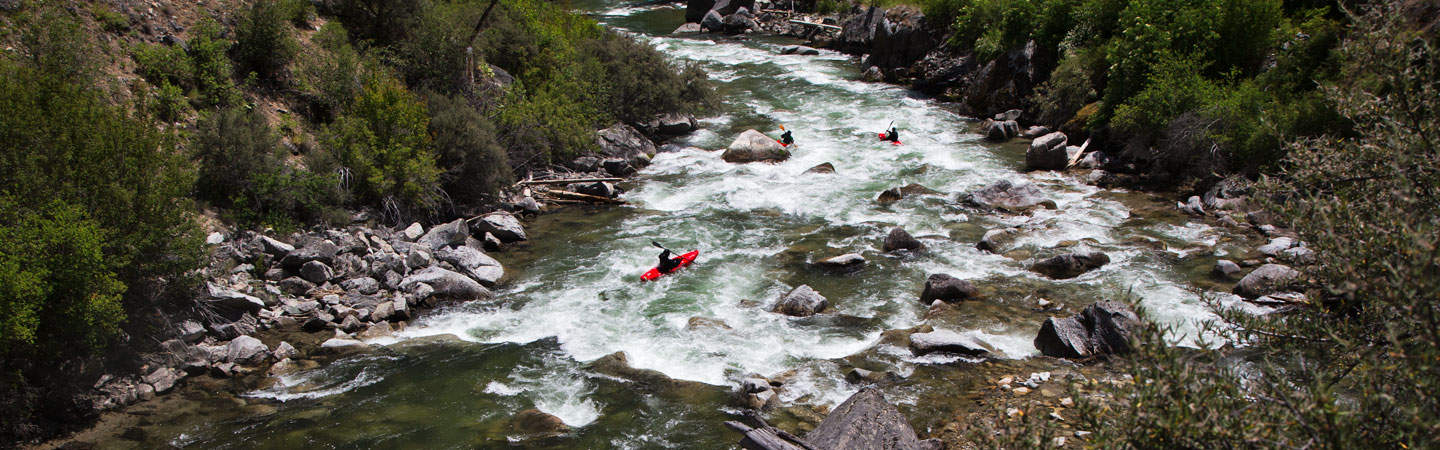
Photo courtesy of American Whitewater
Description
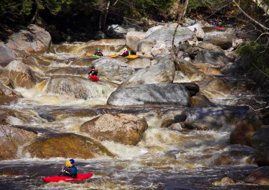
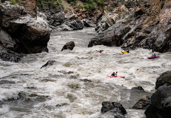
Rocks/Ledge presents a technical descent with multiple large boulder formations creating complex water hydraulics and potential pinning hazards. Paddlers should carefully scout the rapid's main line, which requires precise navigation between clustered mid-stream rocks and potential ledge drops that can create unpredictable water compression zones.
Location
Interactive river map
Loads as you approach this section.
Other Rapids on This Run (20)
 Rapid
N/A
Rapid
N/A
Put In
 Rapid
N/A
Rapid
N/A
Ledge
 Rapid
N/A
Rapid
N/A
Ledge
 Rapid
N/A
Rapid
N/A
Ryan Road/FR10
 Rapid
N/A
Rapid
N/A
Berquist Road/258
 Rapid
N/A
Rapid
N/A
Powerline Crossing
 Rapid
N/A
Rapid
N/A
Rapids Sequence
 Rapid
N/A
Rapid
N/A
Rapids
 Rapid
N/A
Rapid
N/A
Quick Drop
 Rapid
N/A
Rapid
N/A
Five Step
 Rapid
N/A
Rapid
N/A
Old North Shore Road/290
 Rapid
N/A
Rapid
N/A
Short Slide?
 Rapid
N/A
Rapid
N/A
Hwy.61
 Rapid
N/A
Rapid
N/A
Ledges
 Rapid
N/A
Rapid
N/A
Ledge/slide
 Rapid
N/A
Rapid
N/A
RR & Old Hwy.61
 Rapid
N/A
Rapid
N/A
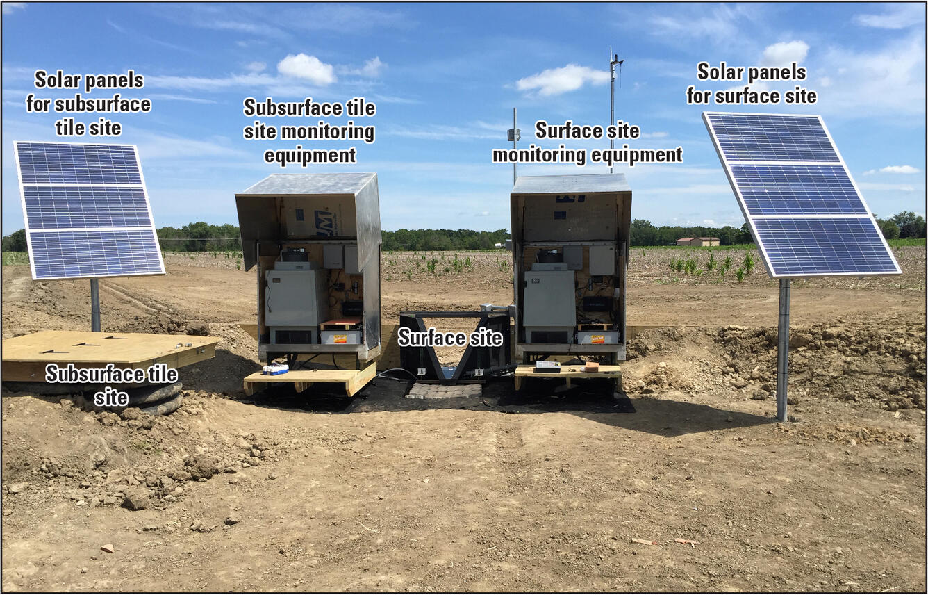
USGS sampling site
 Rapid
N/A
Rapid
N/A
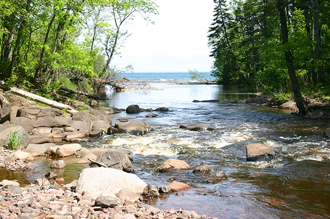
Mouth of the Sucker
 Rapid
N/A
Rapid
N/A
Public Beach / Landing
 Rapid
N/A
Rapid
N/A
Take Out
View Full Run
Cty 33 to Lake Superior (6.5 miles)
Big Sucker Creek
III-IV+(V)
5.8 mi
Current Conditions
5-Day Forecast
Whitewater data from
American Whitewater
American Whitewater