How's Your
River
×
Explore
Explore Map
Water Bodies
Gauges
Access Sites
Tidal Stations
Whitewater
Pricing
Login
Sign Up
Hazard Warning:
Hazard information may be user-submitted and unverified. Conditions change frequently. Always scout rapids and obstacles yourself.
Whitewater
Alabama
Little - 2. Upper Two to Eberhart Point
Roadblock
Hazard
AL
Class IV+
Roadblock
Little - 2. Upper Two to Eberhart Point (AL)
Monitor this Rapid
Water Body
This Run
Map
Other Rapids
Gauge
Weather
Directions
Gauge Conditions
Little River near Blue Pond AL
Downstream
Primary
Runnable: 175.0 – 3,500.0 CFS
Data from
American Whitewater
&
USGS
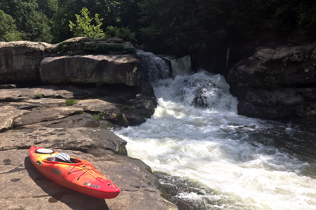
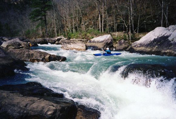
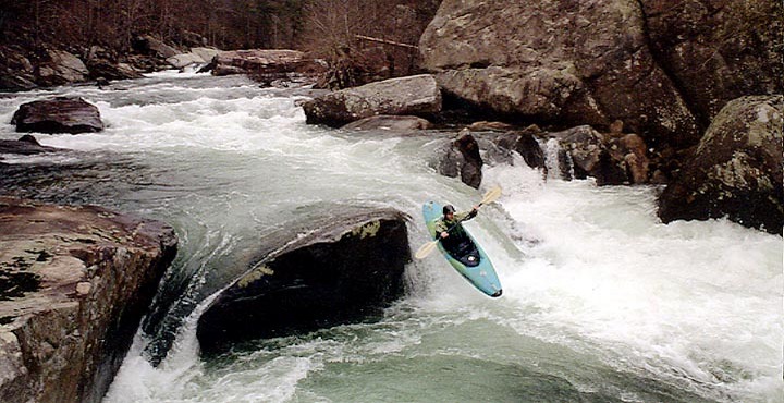
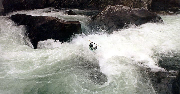
Photo
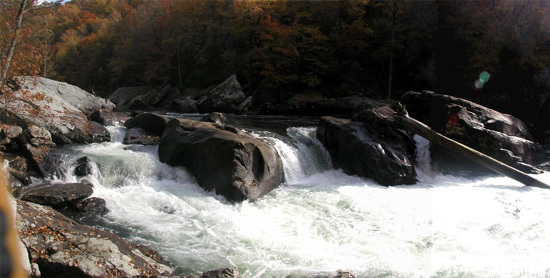
Photo courtesy of
American Whitewater
Description
Easy move but the hole is hard to escape. Lots of close calls in the center hole. Can be snuck on the right at some flows.
Location
Radar
Counties
Cell
Verizon
AT&T
T-Mobile
Dark
Satellite
Terrain
Other Rapids on This Run (7)
Rapid
N/A
Put In
0.0 mi
Rapid
IV
Screaming Right Turn
0.1 mi
Hazard
V
Top of Humpty
0.3 mi
Rapid
V
Humpty Dumpty
0.4 mi
Rapid
Prudential Rock
0.5 mi
Rapid
IV
Deep Throat
1.0 mi
Rapid
N/A
Take Out
2.5 mi
Type
Hazard
Difficulty
Class IV+
Mile Marker
0.3 mi
Directions
Navigate
View Full Run
2. Upper Two to Eberhart Point
Little
III-IV(V)
5.9 mi
Hazard
— Exercise extreme caution in this area.
Current Conditions
5-Day Forecast
Whitewater data from
American Whitewater
Roadblock