Take-out
TX
Rough Canyon Boat Ramp (Lake Amistad)
Save this feature with the run it belongs to.
Gauge Conditions
Runnable: ? – ? CFS
Approximate - nearest available gauge. Use as general reference only.
Data from American Whitewater & USGS
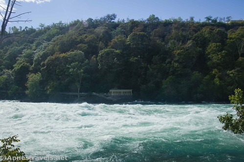
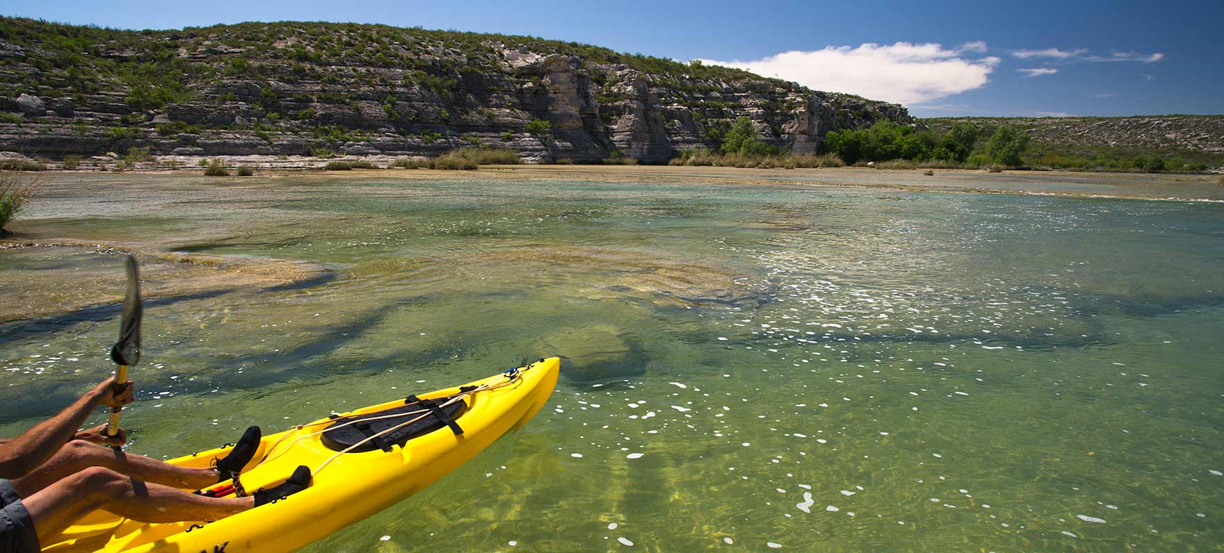
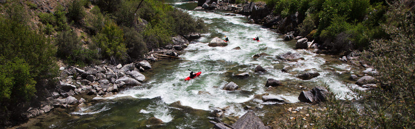
Photo
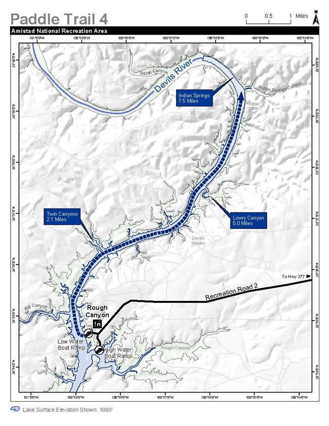
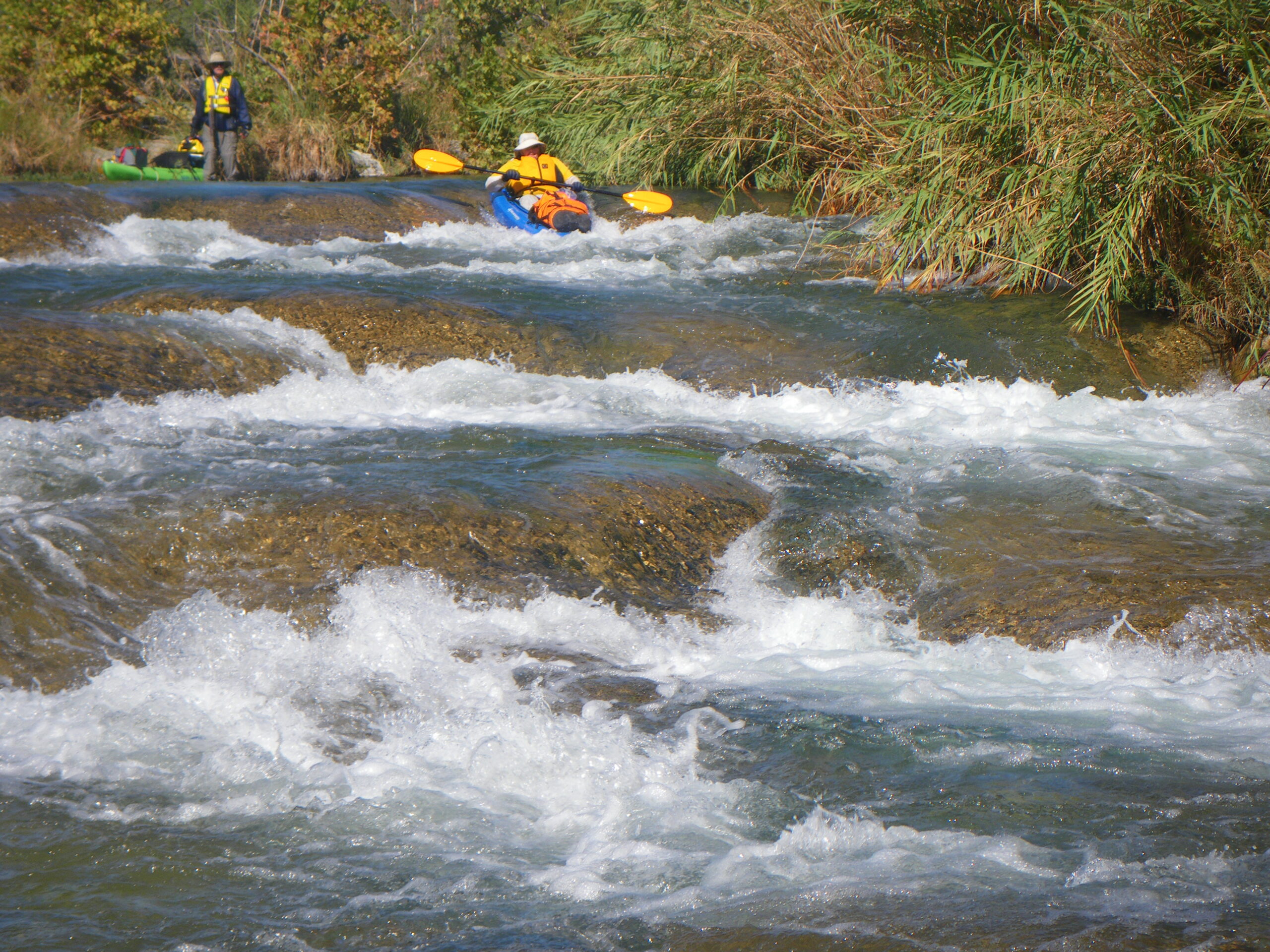
Photo courtesy of American Whitewater
Description
The Baker's Crossing to Rough Canyon Marina section of the Devils River represents an extremely remote and challenging wilderness paddling route through rugged Texas terrain. While technically not a whitewater rapid due to the river's generally flat nature, this stretch requires advanced navigation skills and self-sufficiency, with limited access points, potential low water conditions, and significant technical maneuvering around limestone formations and occasional rock gardens.
Location
Other Rapids on This Run (18)
 Rapid
N/A
Rapid
N/A
Baker's Crossing
Hazard
N/A
Old Baker's Crossing (Low-Water Crossing)
 Rapid
N/A
Rapid
N/A
Miller Island
Hazard
N/A
Private Low-Water Crossing
 Rapid
II+
Rapid
II+
Sycamore Chute (Game Warden Rock)
 Rapid
N/A
Rapid
N/A
Del Norte Island
 Rapid
N/A
Rapid
N/A
San Pedro Point Paddler Camp
 Rapid
N/A
Rapid
N/A
Dolan Creek Confluence
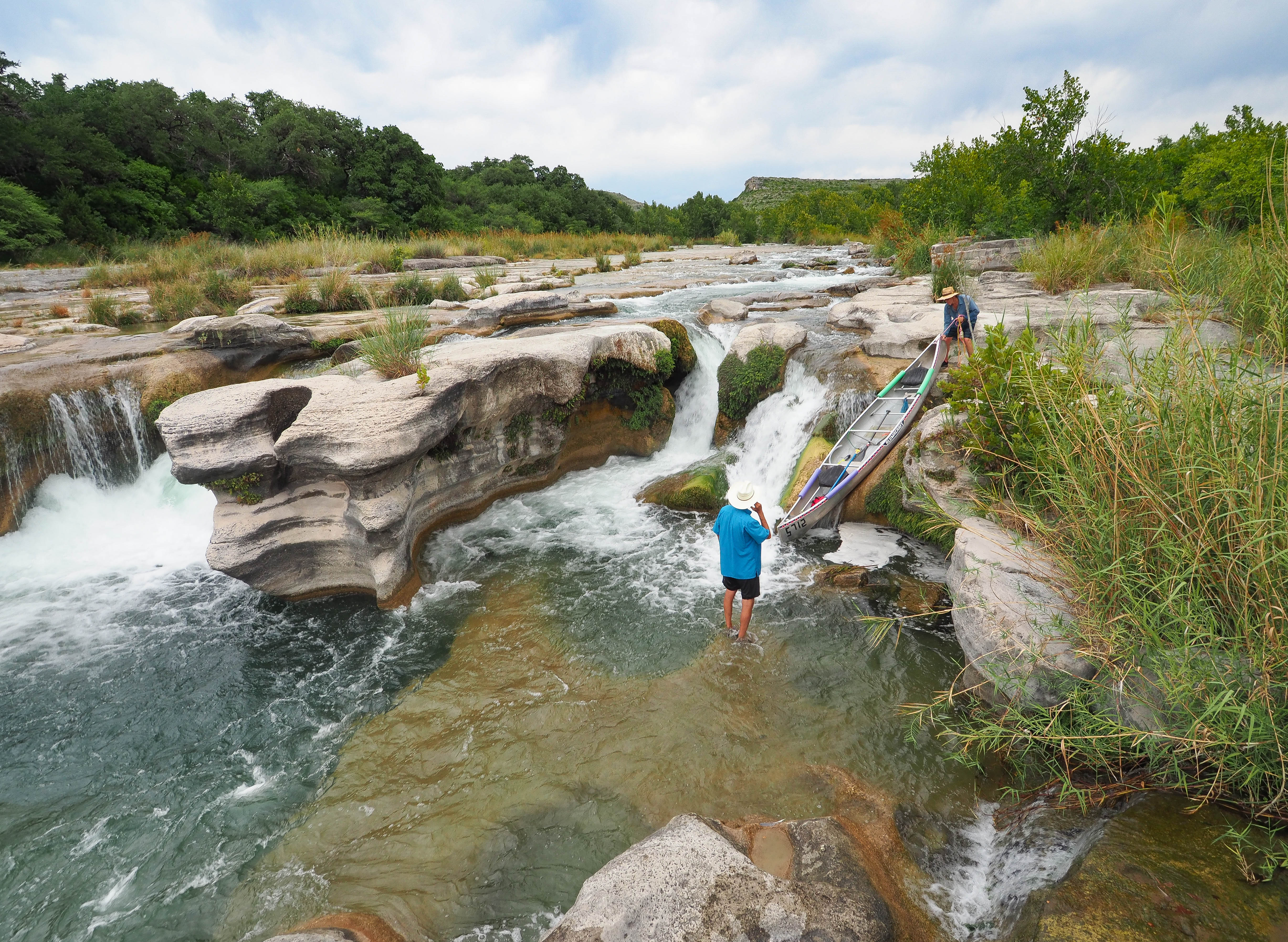
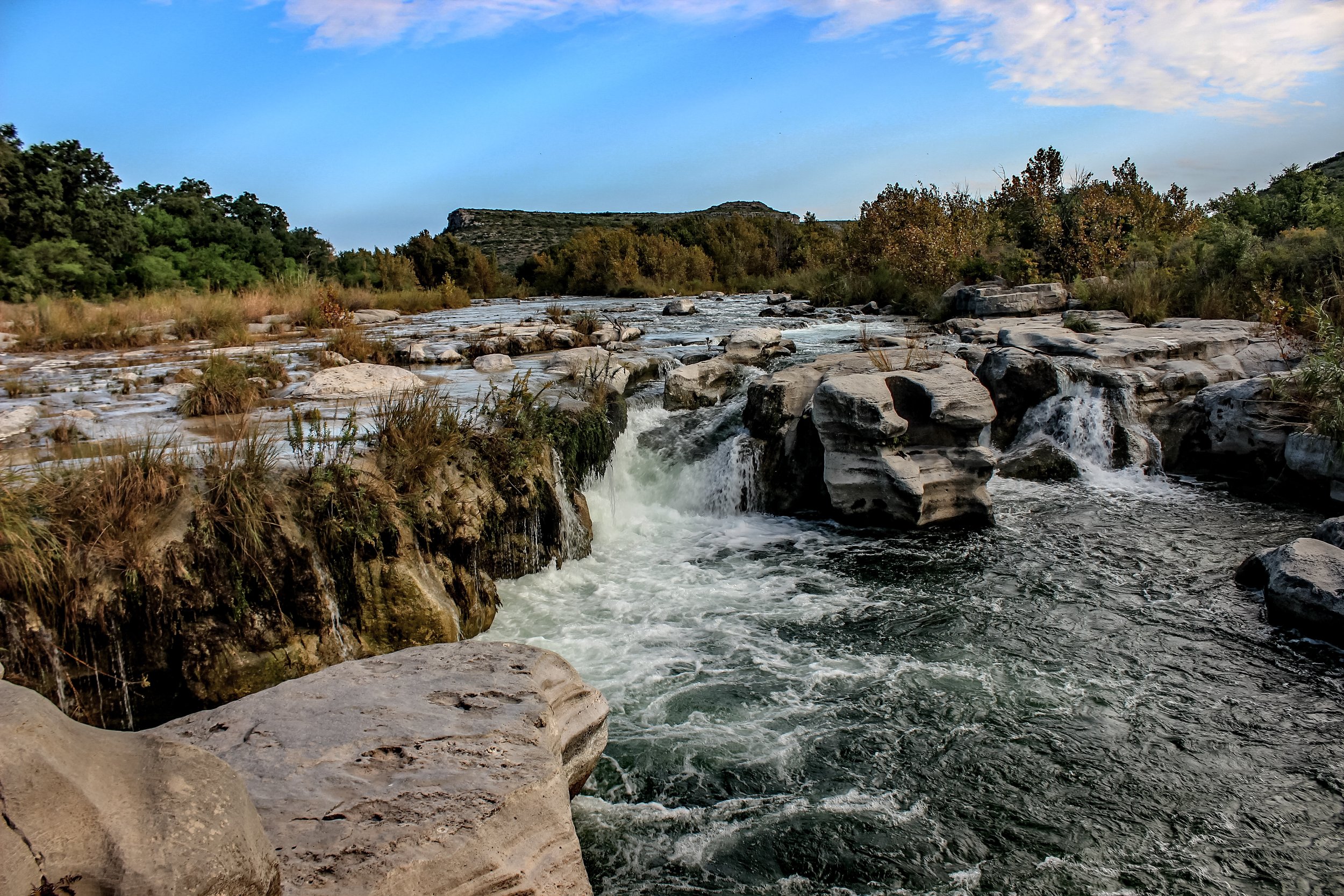
 Waterfall
IV
Waterfall
IV
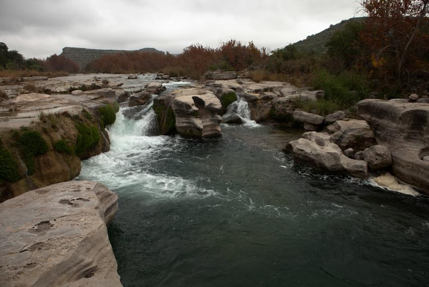
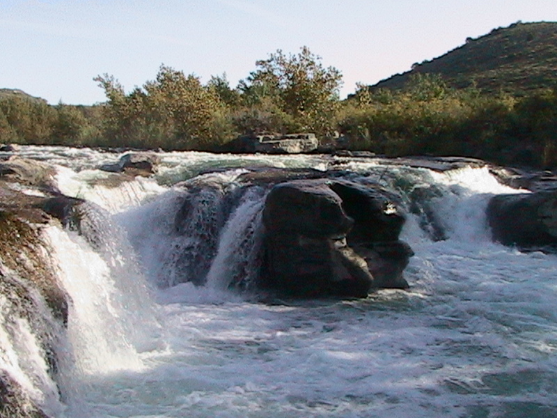
Dolan Falls
 Rapid
II+
Rapid
II+
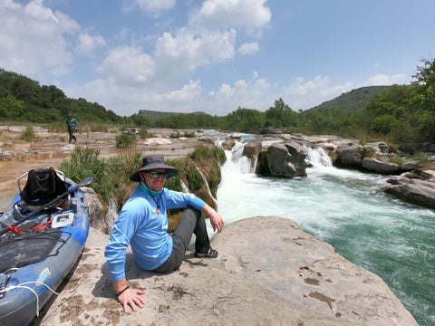
Three-Tier Falls (The Cascades)
 Rapid
N/A
Rapid
N/A
Devils River Outfitters
 Rapid
II
Rapid
II
Dandridge Falls
 Rapid
N/A
Rapid
N/A
29-Mile Paddler Camp
 Rapid
N/A
Rapid
N/A
Big Satan Islands
 Rapid
N/A
Rapid
N/A
Amistad National Recreation Area Boundary
 Rapid
N/A
Rapid
N/A
Pafford Crossing
 Rapid
N/A
Rapid
N/A
Pafford Crossing Weir
 Rapid
N/A
Rapid
N/A
Big Satan Creek Confluence
View Full Run
Baker's Crossing to Rough Canyon Marina (47 miles)
Devils
I-II+(IV)
47.2 mi
Current Conditions
5-Day Forecast
Whitewater data from
American Whitewater
American Whitewater