Take-out
CA
Rumsey Bridge
Save this feature with the run it belongs to.
Gauge Conditions
Runnable: ? – ? CFS
Approximate - nearest available gauge. Use as general reference only.
Data from American Whitewater & USGS
CDEC Flow Data California
Data from California Data Exchange Center (CDEC)
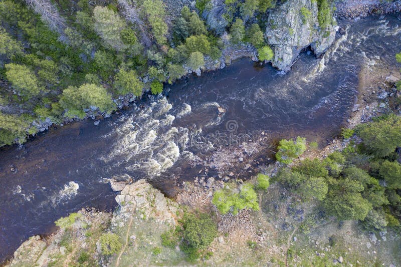
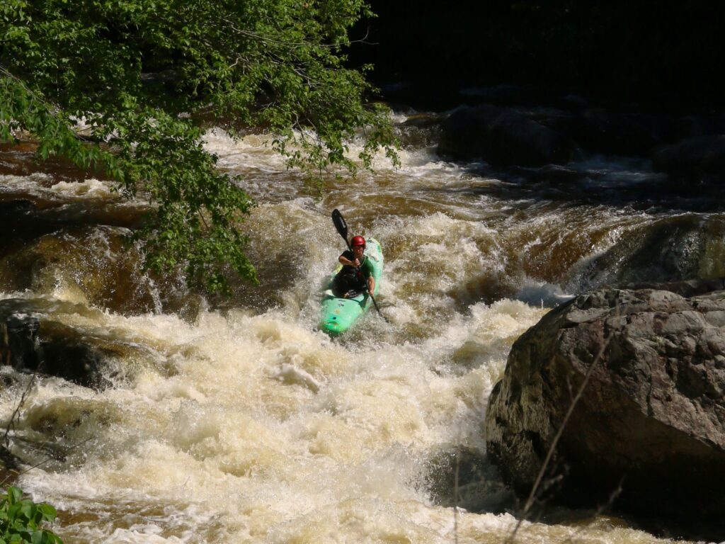
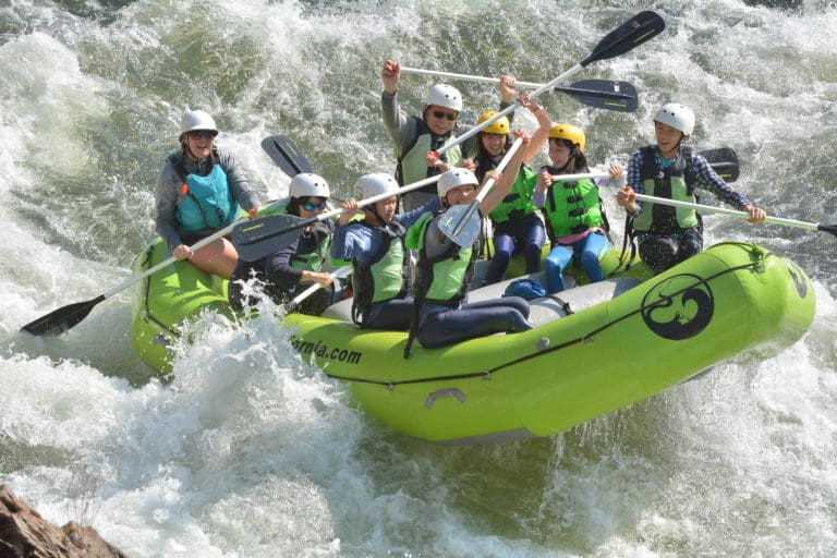
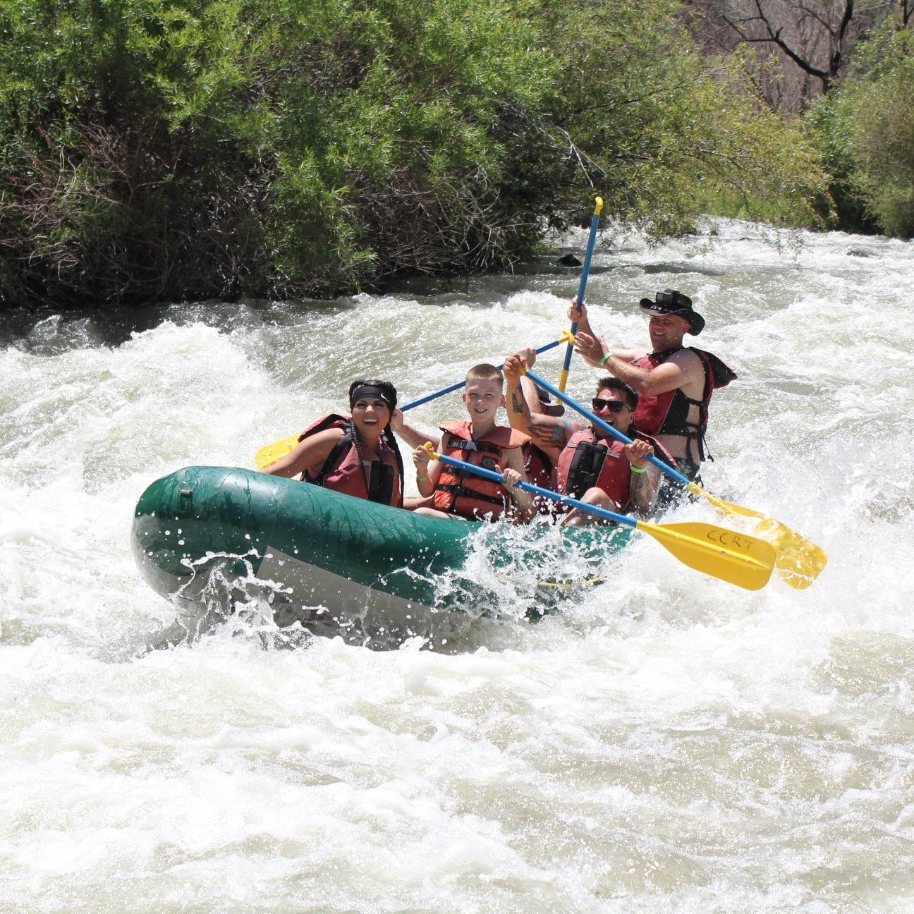
Photo
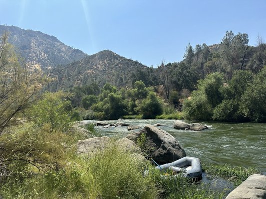
Photo courtesy of American Whitewater
Description
Take out on river left and follow the trail on the upstream side of the bridge. There is limited parking on the upstream side of the road. When that is full, park back on highway 16. Do not park on the other side of the road or the other side of the bridge.
In 2010, this traditional take out was blocked and posted no trespassing by the landowner. In 2012 the take out was reopened and a formal trail was constructed to the river on the upstream river left side of the bridge. This was largely due to the ongoing efforts of a number of boaters to talk with the land owner and negotiate an understanding.
Location
Other Rapids on This Run (4)
View Full Run
2) Bear Creek Confluence to Rumsey
Cache Creek
III
8.4 mi
Current Conditions
5-Day Forecast
Whitewater data from
American Whitewater
American Whitewater