S-Curve
Save this feature with the run it belongs to.
Gauge Conditions
Runnable: 120.0 – 1,230.0 CFS
Low-to-moderate flow; ~0-6" on bridge gauge.
Data from American Whitewater & USGS
Photo
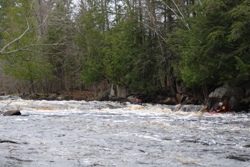
Photo courtesy of American Whitewater
Description
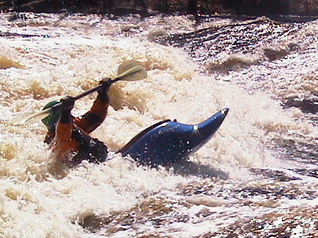
The final significant drop, S-Curve, lies in the left channel around an island. Flow wraps hard to the left, across a submerged ledge, and into a moderate-sized hole.
Old-school boaters delighted in doing 'enders' here to their hearts content. With modern playboats, it is possible to loop and cartwheel in this hole.
At low water the rock that creates the hole become more exposed and harder to surf, but there is a jetstream of concentrated water about two feet wide below the rock. It is deep here and a textbook spot to squirt.
Location
Interactive river map
Loads as you approach this section.
Other Rapids on This Run (12)
Rapid
N/A
Farmdam Put-in
 Playspot
N/A
Playspot
N/A
Farm Dam
 Playspot
II
Playspot
II
Upper Roaring
 Playspot
III+
Playspot
III+
First Drop
 Playspot
III
Playspot
III
Second Drop
 Playspot
II
Playspot
II
Rescue Eddy
 Playspot
III
Playspot
III
Third Drop
 Playspot
II+
Playspot
II+
Joeys Hole
 Playspot
III
Playspot
III
Five Foot Falls
 Playspot
III+
Playspot
III+
Horserace Rapids
 Playspot
II+
Playspot
II+
Lower Roaring
Rapid
N/A
Take-out
View Full Run
E) Roaring Rapids: Otter Ck to W.P.S. Landing (5.3 miles)
Peshtigo
II-III+(IV)
5.3 mi
Current Conditions
5-Day Forecast
Whitewater data from
American Whitewater
American Whitewater