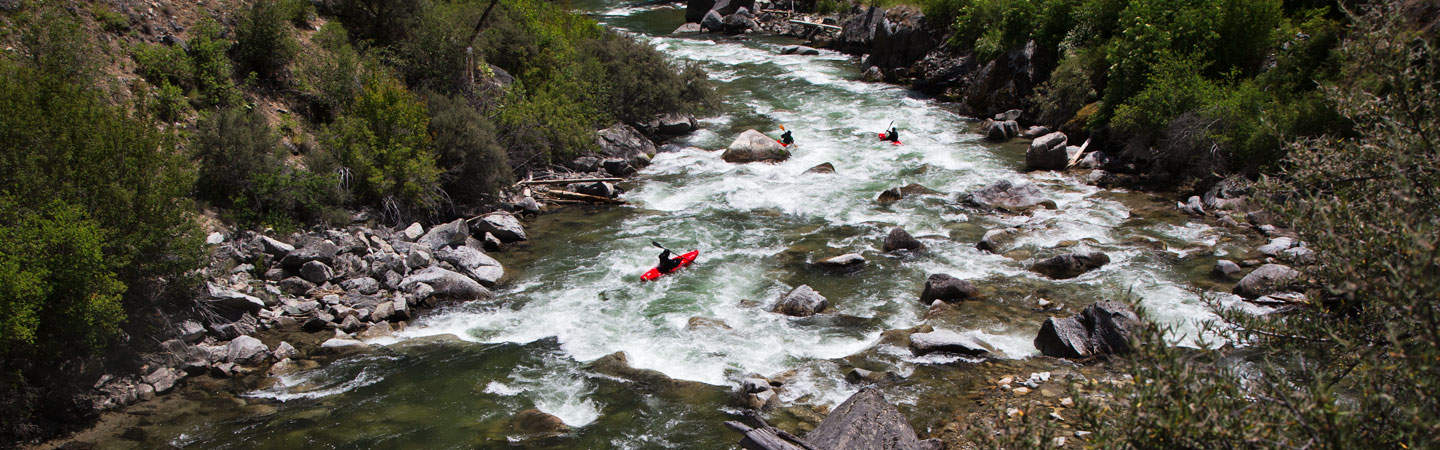
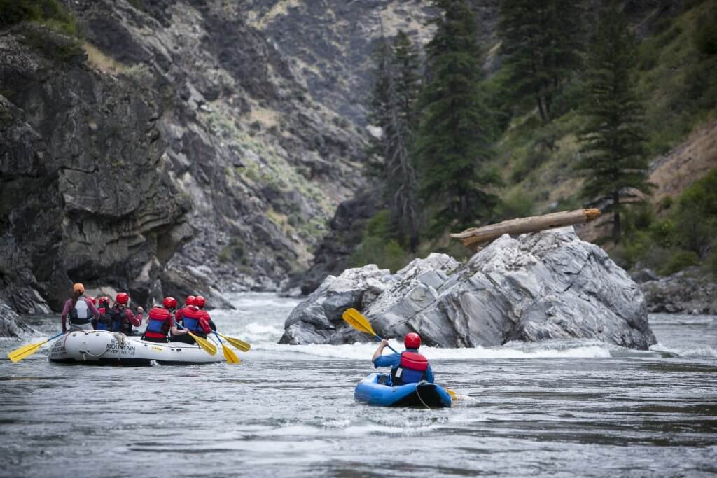
S-Curve
Save this feature with the run it belongs to.
Gauge Conditions
Runnable: 250.0 – 5,000.0 CFS
Almost certainly too low for reasonable whitewater. (Flatwater may be paddled at almost any flow.)
Data from American Whitewater & USGS
Photo
Photo courtesy of American Whitewater
Description
At most levels, this is the biggest and best playable feature on the run. A bedrock ridge extends from the right shore. At low-to-moderate flows, it diverts all water into a couple good waves and a wave/hole. Downstream current pushes through a large eddy and heads into the river-left wall/bank. At higher flows, water will spill over the ledge, and may form a bigger wave/hole.
Location
Other Rapids on This Run (5)
View Full Run
Rainsville to Twin Bridges (0.5-6.7 miles)
Big Pine Creek
II+(III)
6.4 mi
Current Conditions
5-Day Forecast
Whitewater data from
American Whitewater
American Whitewater