Salt Banks
Save this feature with the run it belongs to.
Gauge Conditions
Data from American Whitewater & USGS
Description
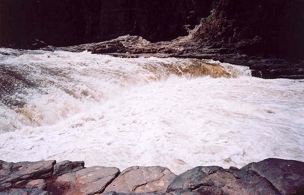
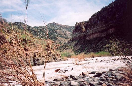
A cobble bar pushes most of the flow to the right. The Salt Banks are at the bottom of the rapid on river right where water coming in is very saline forming impressive salt deposits.
Location
Interactive river map
Loads as you approach this section.
Other Rapids on This Run (20)
 Waterfall
V
Waterfall
V
Apache Falls
Rapid
III
Island Rapid
Rapid
N/A
First Campground Access Point
Rapid
II
Kiss and Tell
Rapid
II
Bump and Grind Rapid
 Playspot
III
Playspot
III
Maytag
 Playspot
III
Playspot
III
Grumman Rapid
Rapid
II
Mother Rock
Rapid
III
Overboard
Rapid
N/A
Second Campground River Access
 Rapid
III
Rapid
III
Exhibition Rapid
Rapid
N/A
Cibecue Creek Access
Rapid
II
Cibecue Rapid
Rapid
II
Three Way Rapid
Rapid
II
Raft Ripper Rapid
 Playspot
III
Playspot
III
Mescal Falls
Rapid
N/A
Mescal River Access
Rapid
N/A
Hoodoo River Access
 Playspot
III
Playspot
III
Ledges Rapid
Rapid
II
Little Boat Eater
View Full Run
02. US 60 to Hwy 288 above Roosevelt Reservoir
Salt
III-IV
58.4 mi
Current Conditions
5-Day Forecast
Whitewater data from
American Whitewater
American Whitewater