02. US 60 to Hwy 288 above Roosevelt Reservoir
Gauge Conditions
Runnable: 800.0 – 10,000.0 CFS
Data from American Whitewater & USGS
Run Map
Run Time Estimate
Select put-in and take-out to estimate time.
Plan This Trip
See wind-adjusted speed maps, forecast planning, and detailed time estimates.
Sign in to generate an AI timing estimate for this run.
Whitewater timing varies with scouting, portages, and group pace. Use as a planning baseline.
Description
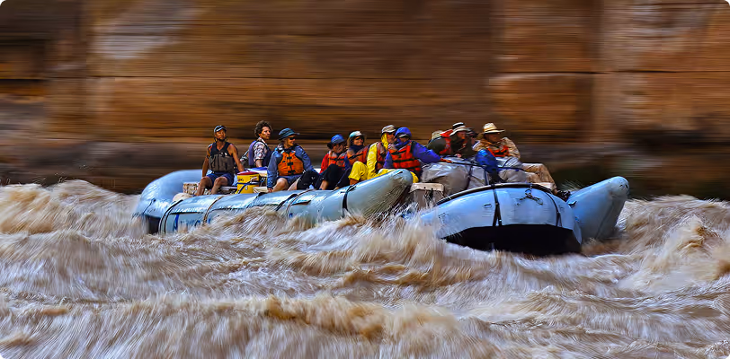
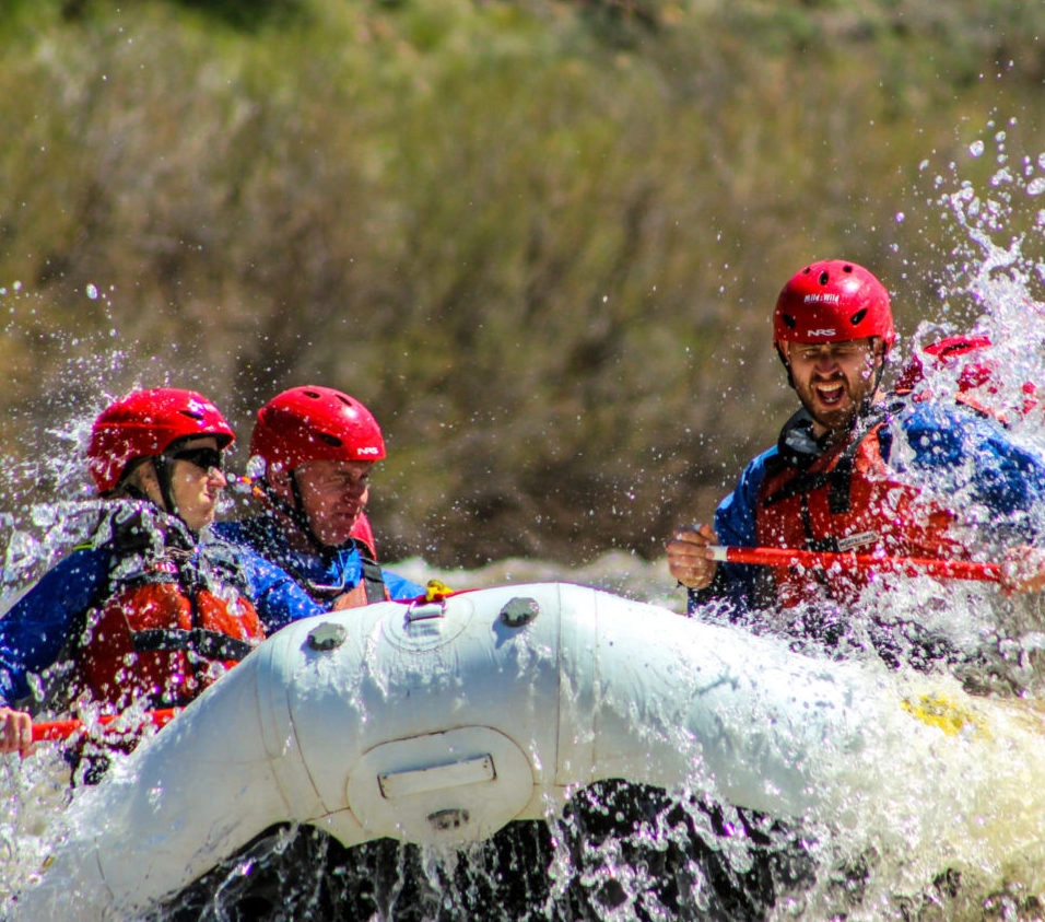
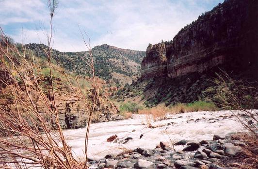
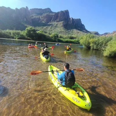
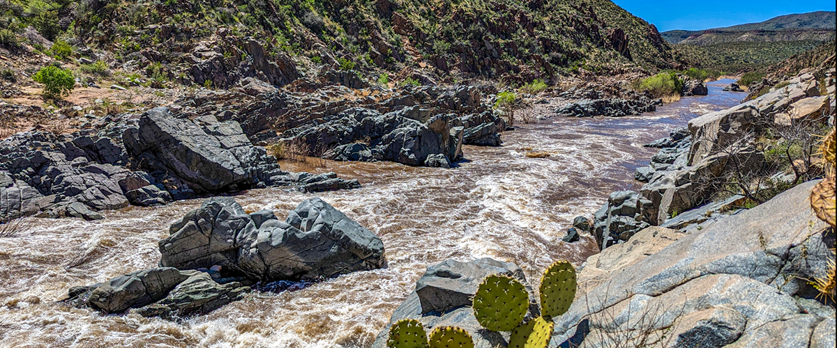
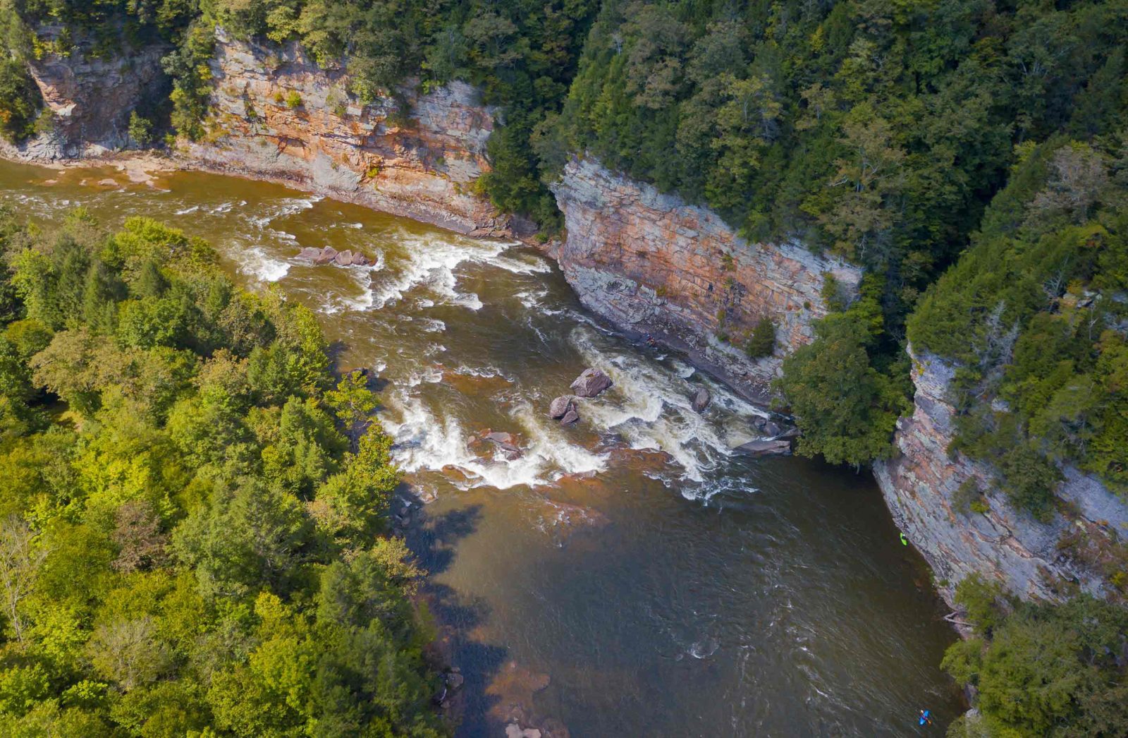
The first part of this run can be done as a day trip before the river leaves the road behind for a wonderful multiday run on the Upper Salt from the Salt River Canyon Bridge on Highway 60 to Roosevelt Reservoir. The trip can be done in as few as 2 days but 4 or 5 days allows for a more relaxed pace and opportunities for hiking. Those doing the multi-day trip have the opportunity to enjoy 30 miles of whitewater in a spectacular Sonoran Desert canyon, followed by a serene 20 mile exit float. For gear-hauling rafts, a minimum flow of 1,200 cfs is recommended. For kayaks and packrafts the rapids are enjoyable down to about 400cfs. The infamous rapid Quartzite is a solid class IV at most levels without the class V consequences that existed at high flows before it was illegally blasted.
A Wilderness permit from Tonto National Forest is required from March 1st to May 15th; the wilderness begins 20 miles downstream from Highway 60. A permit from the White Mountain Apache Tribe is also required for boaters on the upper portion of river flowing through the Reservation which includes the approximately 29-mile stretch of river downstream from First Campground and the Highway 60 Bridge put-in. The Tribe enforces this requirement and it is important that boaters respect their sovereignty and authority.
Video: Packrafting at 900cfs with rapid names
*First Campground (Highway 60) to Hoodoo River Access (9 miles, class III)*
The first 9 miles of the run can be enjoyed as a day trip (with a permit from the Tribe) or the start of a mult-day river trip. There are five class III rapids in this section and several good river camps for those on an overnight trip. Road accessible camps are also available on river right that are typically utilized by those on day trips. Access points on this section include First Campground Access, Cibecue River Access, Mescal River Access, and Hoodoo River Access. These are all located on river right where a lightly used dirt road parallels the run.
*Hoodoo River Access to Roosevelt Reservoir (44 miles, class III-IV)*
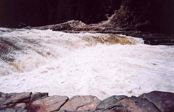
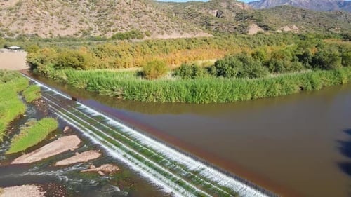
The standard multi-day trip begins with the first segment above but once you pass Hoodoo River Access you leave the road behind. The next few days offer incredible Sonoran Desert scenery, several signature rapids, some fun side hikes, and great river camps. The big class IV rapids include Black Rock Rapid, The Maze Rapid, Quartzite Falls, and Corkscrew Rapid that are all in the middle of the run. Shortly after Corkscrew the canyon walls loosen their grip and the river becomes a class II float. Be sure to take-out on river left just below the Highway 288 Bridge. Just downstream the river flows over a dangerous lowhead dam and then enters the slackwater of Roosevelt Reservoir.
Rapids in this Run (33)
Rapid
III
Island Rapid
Rapid
II
Kiss and Tell
Rapid
II
Bump and Grind Rapid
Rapid
II
Mother Rock
Rapid
III
Overboard
Rapid
Second Campground River Access
 Rapid
III
Rapid
III
Exhibition Rapid
Rapid
Cibecue Creek Access
Rapid
II
Cibecue Rapid
Rapid
II
Three Way Rapid
Rapid
II
Raft Ripper Rapid
Rapid
Mescal River Access
Rapid
Hoodoo River Access
Rapid
II
Salt Banks
Rapid
II
Little Boat Eater
Rapid
II
Rock Garden Rapid
Rapid
II
The Cheese Rapid
Rapid
III
Rat Trap
Rapid
III
White Rock Rapid
Rapid
Canyon Creek
Rapid
III
Granite Rapid
Rapid
II
Gleason Rapid
Rapid
IV
Black Rock
Rapid
III
Devils Pendejo
 Rapid
II
Rapid
II
Upper Corral
Rapid
III
Lower Corral
Rapid
III
Pinball
Rapid
IV
The Maze Rapid
Rapid
III
Sleeper Rapid
Rapid
Cherry Creek
Rapid
II
Horseshoe Bend
Rapid
II
Redmond Rapid
Rapid
II
Coon Creek
Playspots (5)
Hazards & Portages (5)
Caution: The following locations may require scouting or portaging. Always check current conditions.
Difficulty
Class III-IV
Length
58.4 mi
Rapids
33
5 Hazards
Access Points
Difficulty Classes
I Easy
II Novice
III Intermediate
IV Advanced
V Expert/Extreme
VI Unrunnable
Permit Required
Lottery for river permits Mar 1 through May 15. Applications due Jan 31.
Get Permit
Current Conditions
5-Day Forecast
Whitewater data from
American Whitewater
American Whitewater