Black Rock
Save this feature with the run it belongs to.
Gauge Conditions
Description
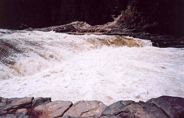
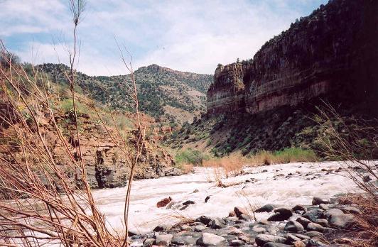
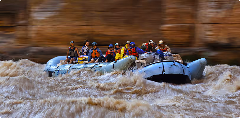
Black Rock is the final rapid in a small micro gorge. The Salt is choked with sharp boulders and drops over some ledges and the preferred line is not readily apparent as the river disappears around the corner to the right. The line changes at different flows, particularly because there are rocks in the water after the ledge that can be partially covered. With enough flow, rafts will typically run river right near a 6' pourover. Kayaks and packrafts have different lines depending on the flow, either dropping off a ledge or following the tongue and punching through the hole river left. Watch out for the boiling froth and then the current pushing hard left up against an undercut rock immediately after the rapid. Rafts scout from far upstream river right, kayaks scout river left.
Location
Other Rapids on This Run (20)
 Waterfall
V
Waterfall
V
 Playspot
III
Playspot
III
 Playspot
III
Playspot
III
 Rapid
III
Rapid
III
 Playspot
III
Playspot
III
 Playspot
III
Playspot
III
Current Conditions
5-Day Forecast
American Whitewater