Put-in
CA
Sand Pile put-in
Save this feature with the run it belongs to.
Gauge Conditions
Runnable: ? – ? CFS
Approximate - nearest available gauge. Use as general reference only.
Data from American Whitewater & USGS
Photo
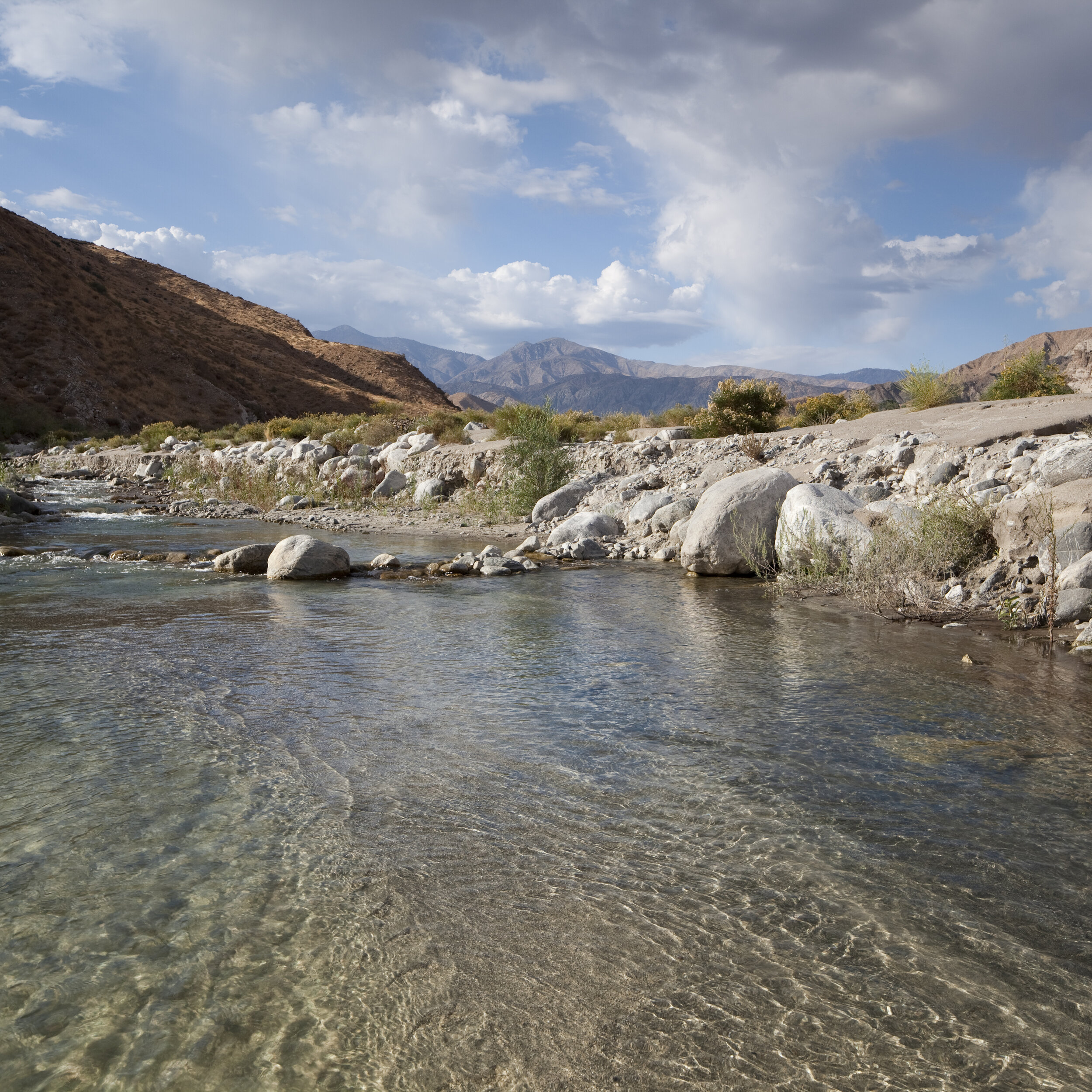
Photo courtesy of American Whitewater
Description
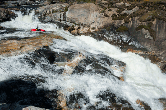
This is the put-in that is most easily and quickly accessed by trail. It is about a 10 or 15 minute hike from the car to this put-in. The large obvious sand pile is probably a waste pile from the mining operation that once existed here.
Location
Interactive river map
Loads as you approach this section.
View Full Run
3.8 Old mine trail to NF Kings confluence
Dinkey Creek
V
1.5 mi
Current Conditions
5-Day Forecast
Whitewater data from
American Whitewater
American Whitewater