Gauge Conditions
Data from American Whitewater & USGS
CDEC Flow Data California
Data from California Data Exchange Center (CDEC)
Description
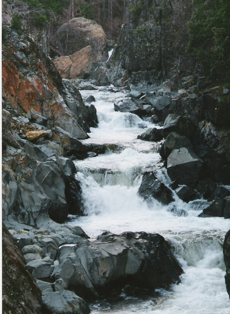
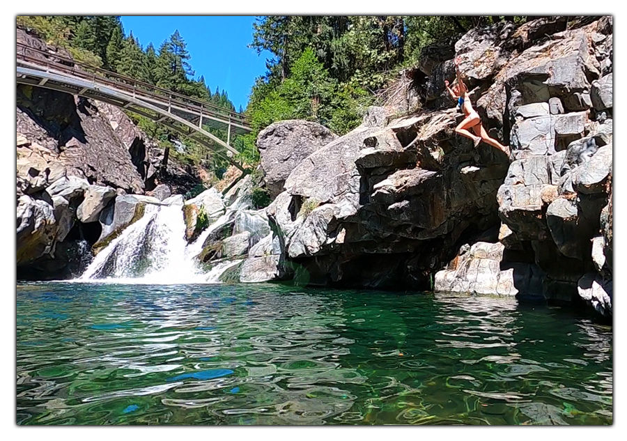
The river bends from right to left, Jim Crow Creek enters river left, the Shangri-La resort has stone walls at the river and a bridge crossing the North Fork Yuba.
Location
View Full Run
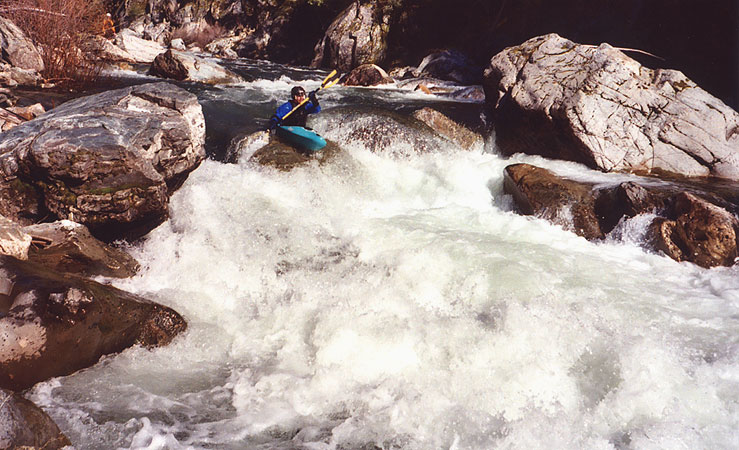
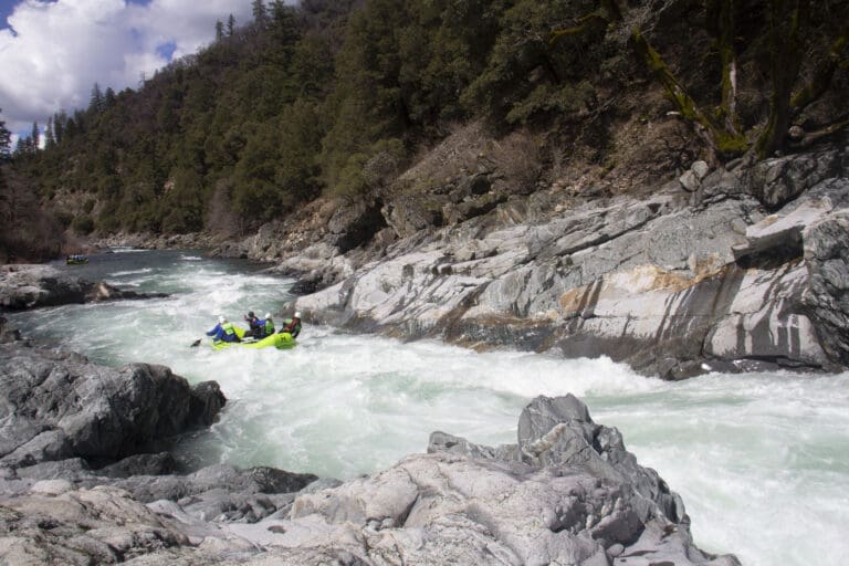
1. Wild Plum Campground to Downieville
Yuba, North
IV-V
14.5 mi
Current Conditions
5-Day Forecast
Whitewater data from
American Whitewater
American Whitewater