Shurform
Save this feature with the run it belongs to.
Gauge Conditions
Data from American Whitewater & USGS
Description
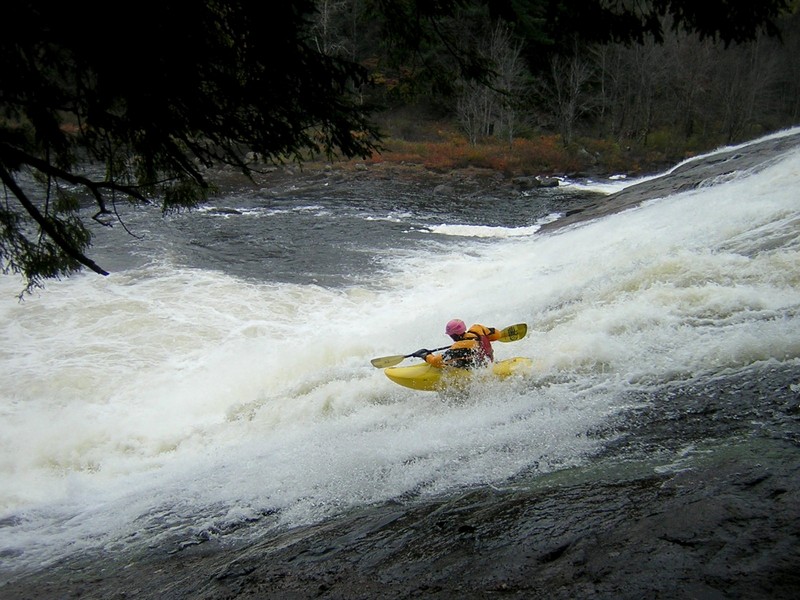
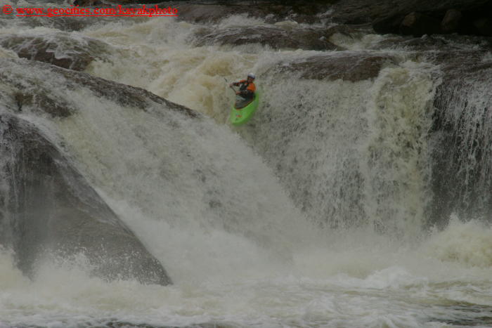
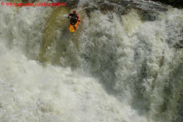
Right Channel: Steep, long, shallow, and technical. If you mess up the approach, you get up close and personal with a rocky mess in the middle. The approach is most easily run by punching a small but deceptively squirrelly wave and getting left. Stay high and to the left before dropping down at the very end. Another option is to run just right of the rooster tail.
Left Channel: Oh, yes: if you go left of the island, then it's really technical, with an undercut rock and a pitonat the bottom. Rate that line a 5.1. Come into the bottom facing 45* right and charging along the diagonal right, or stay left and try to ride over the peton just outside the under-cut.
Location
Interactive river map
Loads as you approach this section.
View Full Run
3. Bottom: Fowlersville to Lyons Falls
Moose
V
4.0 mi
Current Conditions
5-Day Forecast
Whitewater data from
American Whitewater
American Whitewater