Take-out
NC
Smokemont Bridge
Save this feature with the run it belongs to.
Gauge Conditions
Runnable: 0.0 – 1,500.0 CFS
Too Low to Boat (L0-L9)
Data from American Whitewater & USGS
Photo
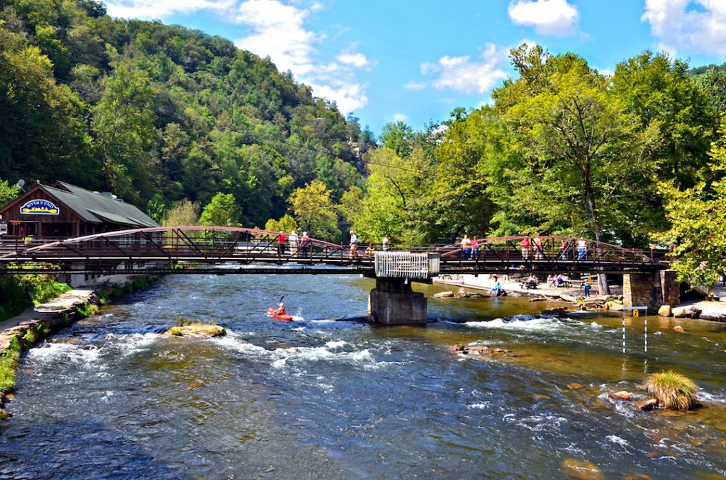
Photo courtesy of American Whitewater
Description
The Smokemont Bridge section of the Oconaluftee River offers a relatively gentle stretch with minimal technical challenges, suitable for beginner to intermediate paddlers. While specific details are limited, the rapid appears to feature standard river conditions typical of the Great Smoky Mountains, likely with a mix of small waves and potential rock obstacles that require basic navigation skills. Paddlers should be aware of parking availability on the east side of the river and scout the route carefully before launching.
Location
Interactive river map
Loads as you approach this section.
View Full Run
1. Kephart Trail Bridge to Smokemont Campground Bridge
Oconaluftee
III
4.2 mi
Current Conditions
5-Day Forecast
Whitewater data from
American Whitewater
American Whitewater