Take-out
WI
South-west Extent of Duluth-Area Creeks
Save this feature with the run it belongs to.
Gauge Conditions
Runnable: ? – ? CFS
Approximate - nearest available gauge. Use as general reference only.
Data from American Whitewater & USGS
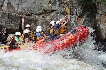
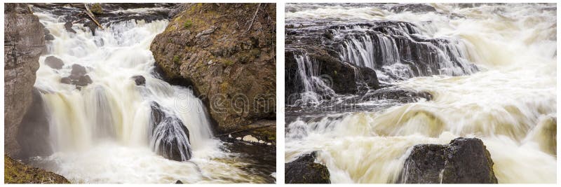
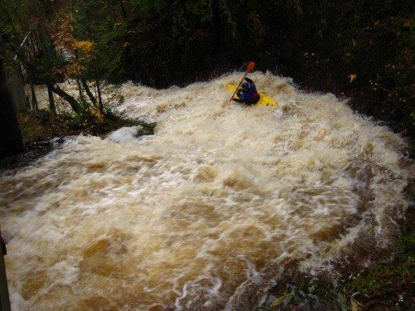
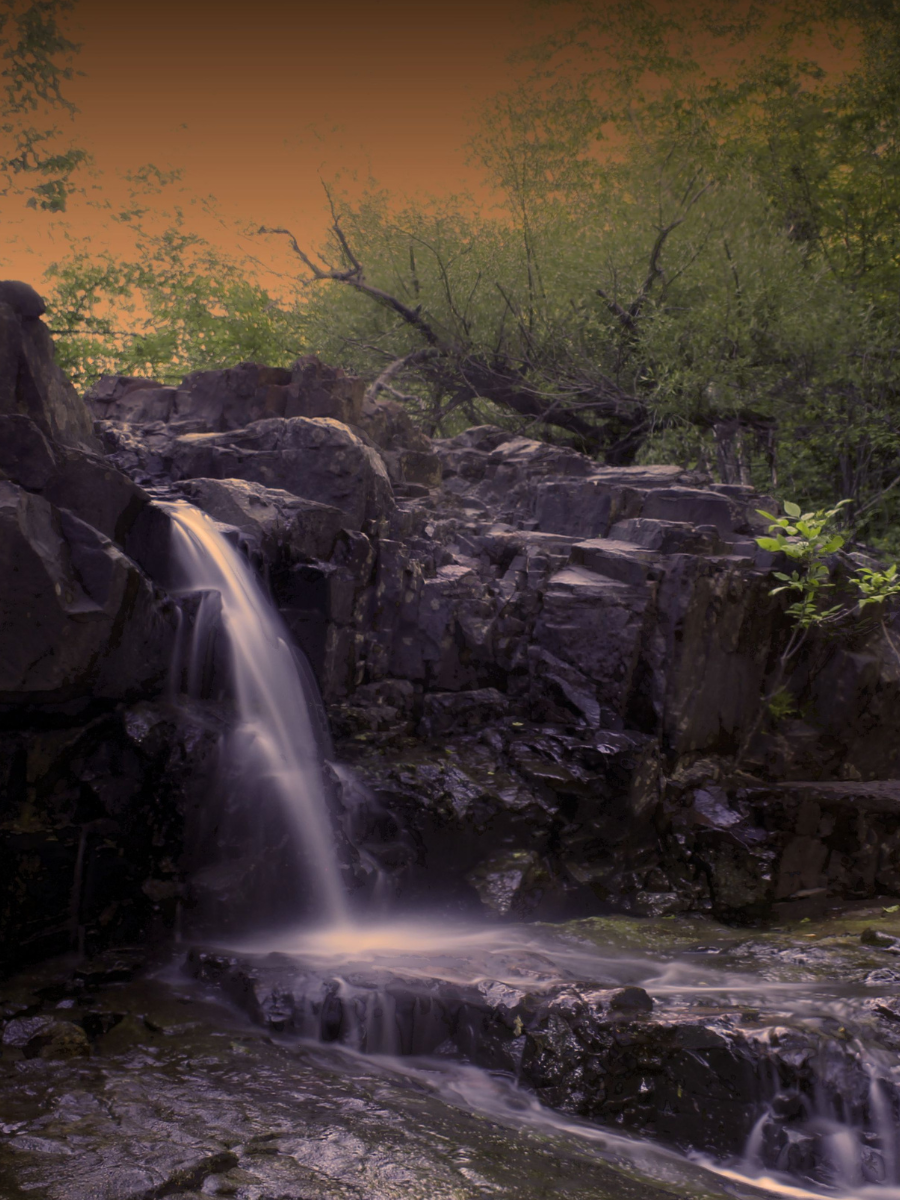
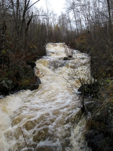
Photo
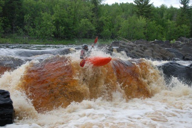
Photo courtesy of American Whitewater
Description
The South-west Extent of Duluth-Area Creeks represents a complex and variable whitewater environment with multiple potential lines and unpredictable flow characteristics. Local paddlers should be prepared for potential debris, tight channel transitions, and rapidly changing water conditions that can shift dramatically based on recent precipitation and seasonal runoff. Advanced scouting and local beta are recommended due to the limited documented information about this specific creek section.
Location
Interactive river map
Loads as you approach this section.


View Full Run
various
Duluth creeks
IV-V+
20.0 mi
Current Conditions
5-Day Forecast
Whitewater data from
American Whitewater
American Whitewater