Take-out
WA
Sportsman Road Take Out (Main Washougal), Take-out
Save this feature with the run it belongs to.
Gauge Conditions
Runnable: ? – ? CFS
Approximate - nearest available gauge. Use as general reference only.
Data from American Whitewater & USGS
Photo
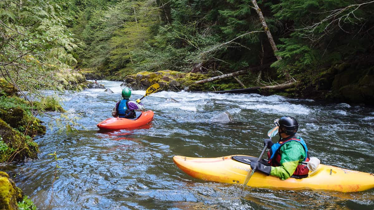
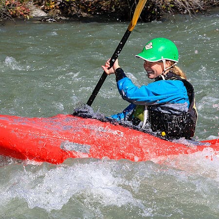
Photo courtesy of American Whitewater
Description
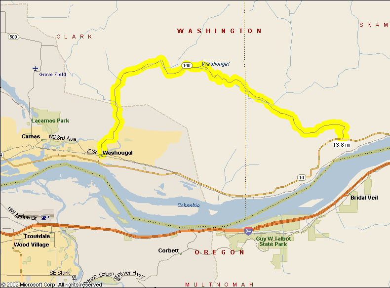
The Sportsman Road Take Out marks the end of the North Fork Washougal's whitewater run, providing a critical access point for paddlers completing the river section. While specific rapid details are limited, the take-out area requires careful navigation and awareness of potential river conditions, particularly during varying water levels and seasonal flow changes.
Location
Interactive river map
Loads as you approach this section.
View Full Run
W-1200 Road Bridge to Washougal River
Washougal, N. Fork
IV(V)
7.8 mi
Current Conditions
5-Day Forecast
Whitewater data from
American Whitewater
American Whitewater