Squeeze Play
Save this feature with the run it belongs to.
Gauge Conditions
Runnable: 175.0 – 1,000.0 CFS
Upper limit for best boatability uncertain. Please help your fellow boaters with a comment or report.
Data from American Whitewater & USGS
Photo
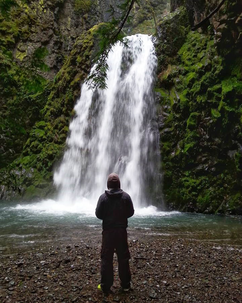
Photo courtesy of American Whitewater
Description
Shortly after the put-in at Desoto Falls paddlers will incounter the largest rapid on the run. Here the river splits around a midstream rock dropping about 3 feet then is squeezed through a 2 foot wide slot between two house sized boulders that are very undercut. I haven't seen this one high enough to make it go for my taste yet, but I would guess somewhere over 500 cfs would make it MUCH safer.
Location
Interactive river map
Loads as you approach this section.
Other Rapids on This Run (2)
View Full Run
1. Desoto Falls to Cloudmont
Little, W. Fork
I-II(IV)
1.8 mi
Hazard — Exercise extreme caution. Portage recommended — scout before running.
Current Conditions
5-Day Forecast
Whitewater data from
American Whitewater
American Whitewater