Rapid
OR
Stony Creek confluence
Save this feature with the run it belongs to.
Gauge Conditions
Data from American Whitewater & USGS
Photo
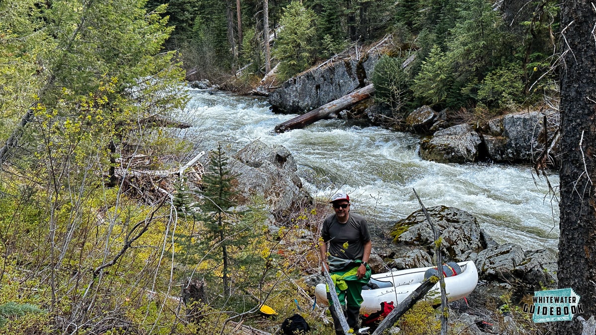
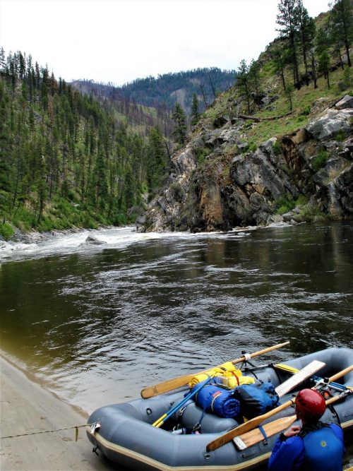
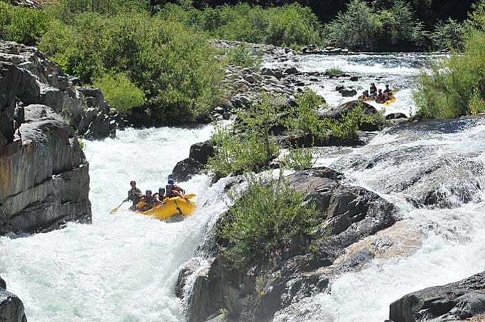
Photo courtesy of American Whitewater
Description
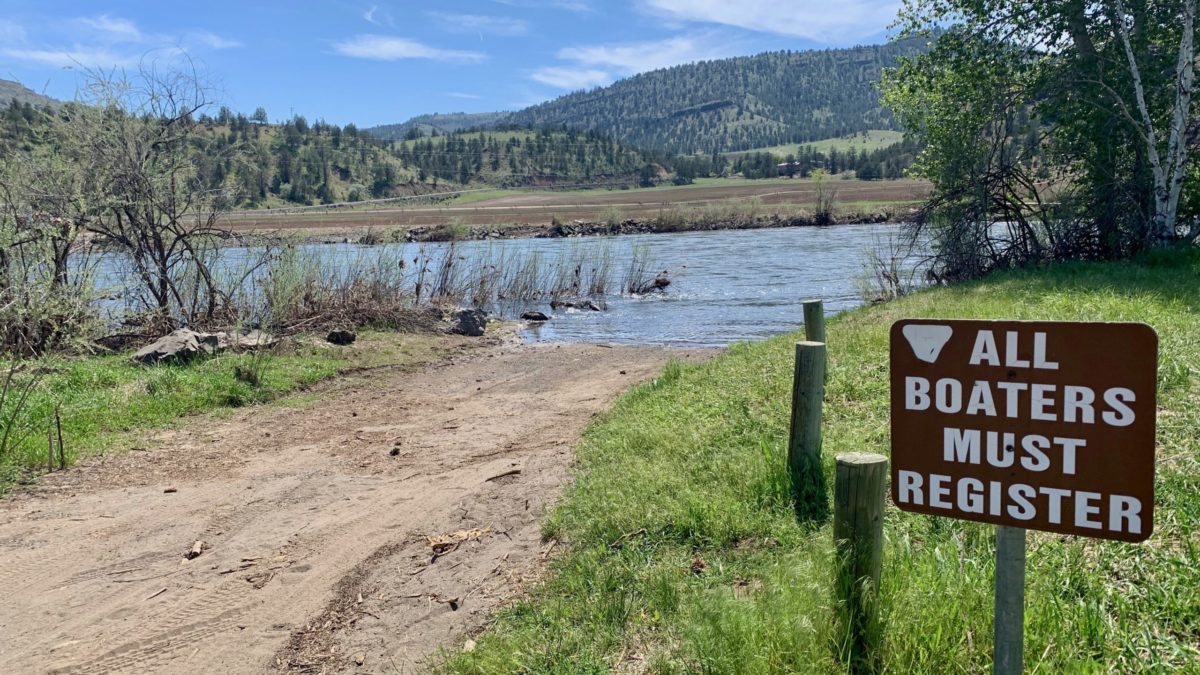
At the confluence of Stony Creek, the John Day's North Fork widens and potentially creates braided channel conditions with increased potential for strainers or debris. Paddlers should carefully scout the river right tributary entrance and be prepared for potential mid-stream obstacles or shifting water dynamics where the creek joins the main river channel.
Location
Interactive river map
Loads as you approach this section.
Other Rapids on This Run (16)
 Rapid
N/A
Rapid
N/A
Put In, Haden Creek
 Rapid
N/A
Rapid
N/A
Tollgate Campground
 Rapid
N/A
Rapid
N/A
Camas Creek confluence
 Rapid
III
Rapid
III
Grandstand Rapid
 Rapid
III
Rapid
III
Surprise Rapid
 Rapid
II
Rapid
II
Chainsaw Rapid
 Rapid
III
Rapid
III
Zipper Rapid
 Rapid
II
Rapid
II
Upper Bridge Rapid
 Rapid
II
Rapid
II
Lower Bridge Rapid
 Rapid
N/A
Rapid
N/A
Potamus Creek confluence
 Rapid
N/A
Rapid
N/A
Mallory Creek
 Rapid
N/A
Rapid
N/A
Ditch Creek
 Rapid
N/A
Rapid
N/A
Middle Fork River
 Rapid
II
Rapid
II
Basalt Channel
 Rapid
N/A
Rapid
N/A
Wall Creek
 Rapid
N/A
Rapid
N/A
Take Out, Monument Park
View Full Run
2. Dale to Monument
John Day, N. Fork
II(III)
42.0 mi
Current Conditions
5-Day Forecast
Whitewater data from
American Whitewater
American Whitewater