Zipper Rapid
Save this feature with the run it belongs to.
Gauge Conditions
Data from American Whitewater & USGS
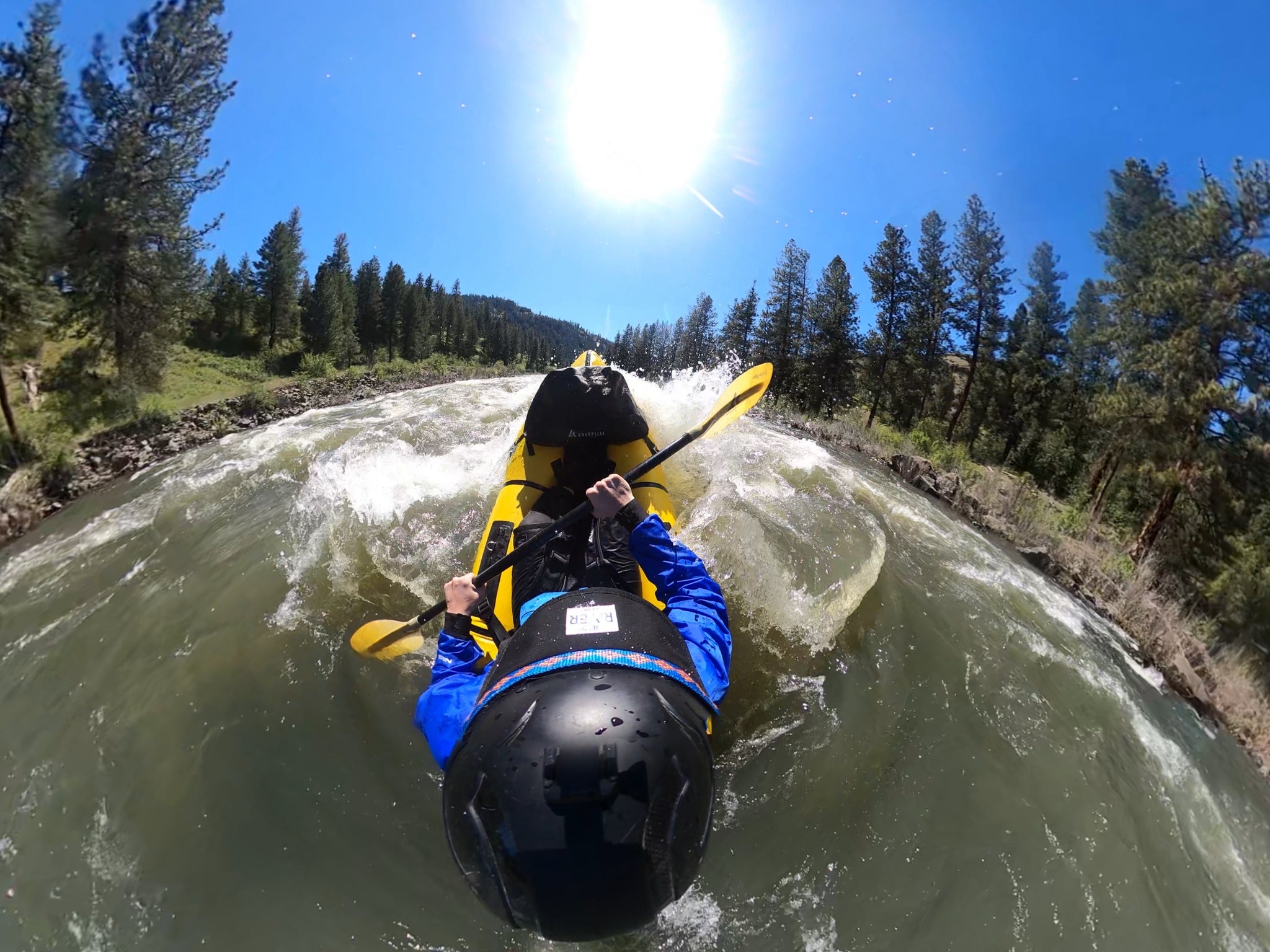
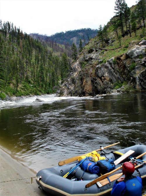
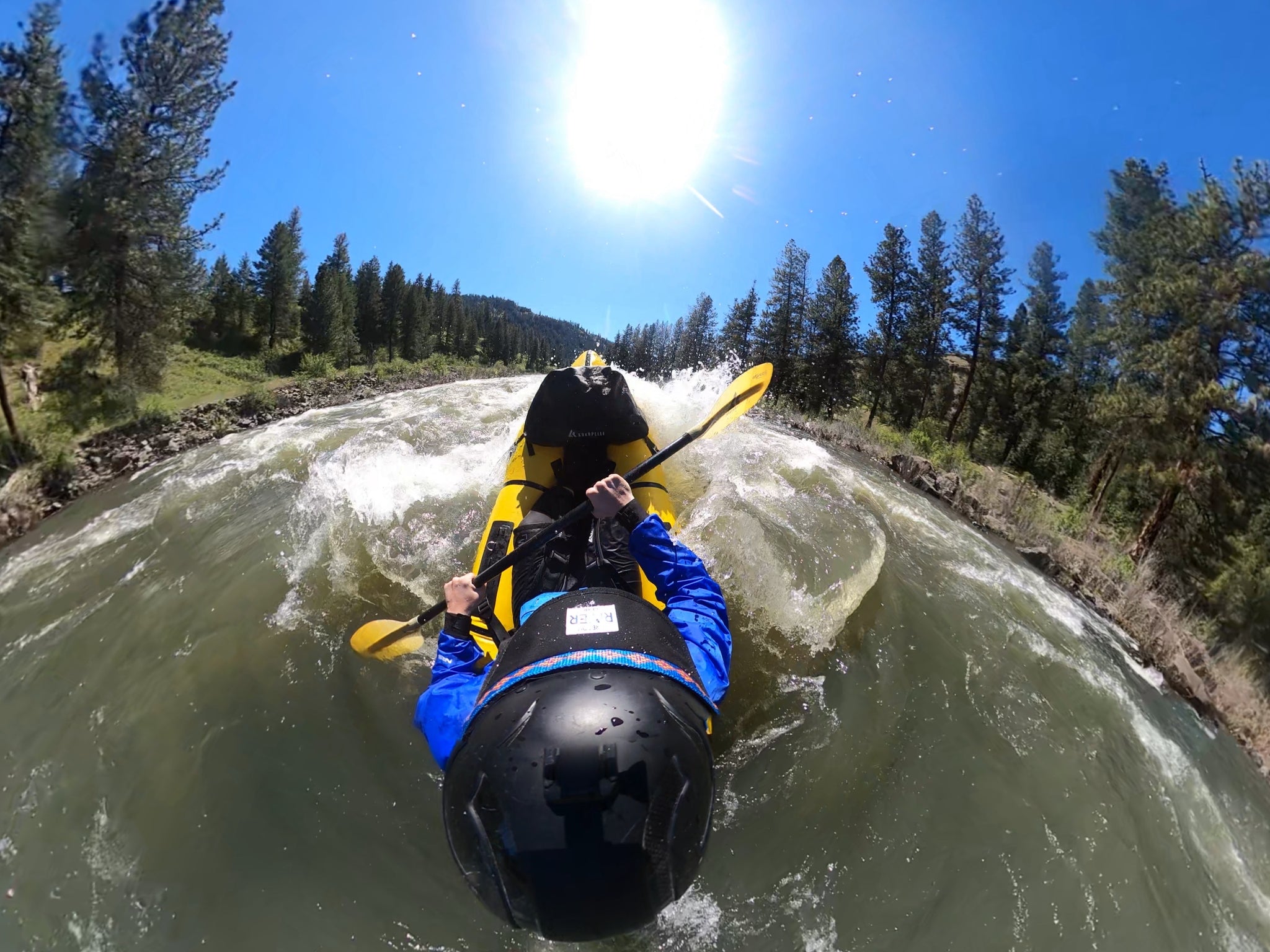
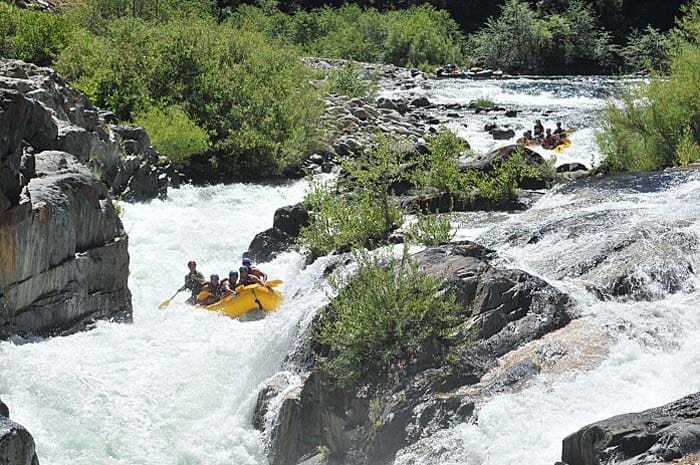
Photo
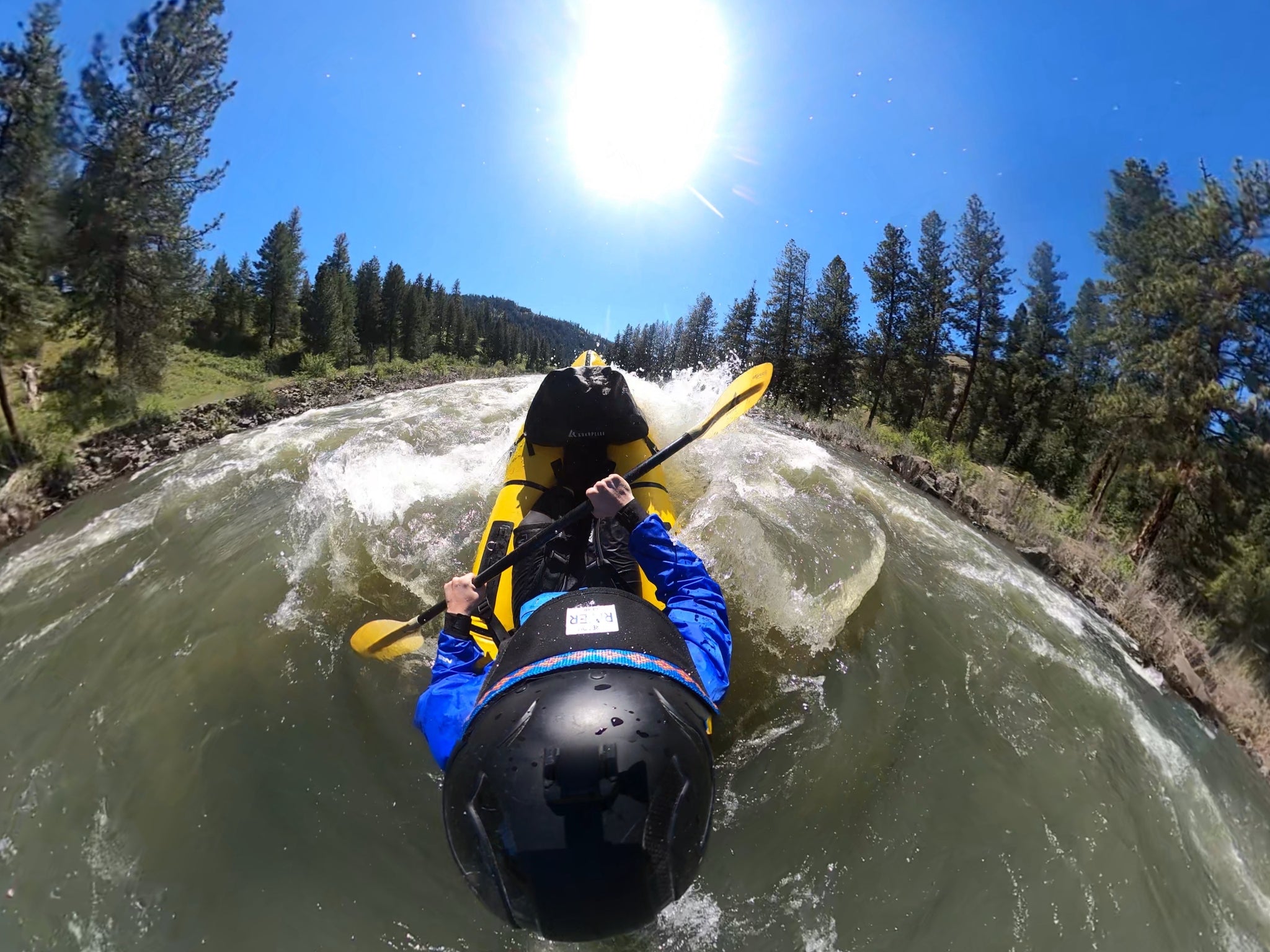
Photo courtesy of American Whitewater
Description
The approach to this rapid is marked by an S bend in the river where the river bends left, then to the right, and back left as the rapid begins. It ends with a basalt outcrop on river left at the bottom that forms a tricky hydraulic.
Location
Interactive river map
Loads as you approach this section.
Other Rapids on This Run (16)
 Rapid
N/A
Rapid
N/A
Put In, Haden Creek
 Rapid
N/A
Rapid
N/A
Tollgate Campground
 Rapid
N/A
Rapid
N/A
Camas Creek confluence
 Rapid
III
Rapid
III
Grandstand Rapid
 Rapid
III
Rapid
III
Surprise Rapid
 Rapid
II
Rapid
II
Chainsaw Rapid
 Rapid
N/A
Rapid
N/A
Stony Creek confluence
 Rapid
II
Rapid
II
Upper Bridge Rapid
 Rapid
II
Rapid
II
Lower Bridge Rapid
 Rapid
N/A
Rapid
N/A
Potamus Creek confluence
 Rapid
N/A
Rapid
N/A
Mallory Creek
 Rapid
N/A
Rapid
N/A
Ditch Creek
 Rapid
N/A
Rapid
N/A
Middle Fork River
 Rapid
II
Rapid
II
Basalt Channel
 Rapid
N/A
Rapid
N/A
Wall Creek
 Rapid
N/A
Rapid
N/A
Take Out, Monument Park
View Full Run
2. Dale to Monument
John Day, N. Fork
II(III)
42.0 mi
Current Conditions
5-Day Forecast
Whitewater data from
American Whitewater
American Whitewater