Take-out
NC
Take Out
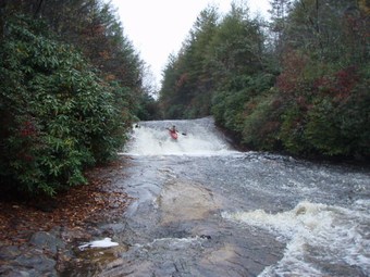
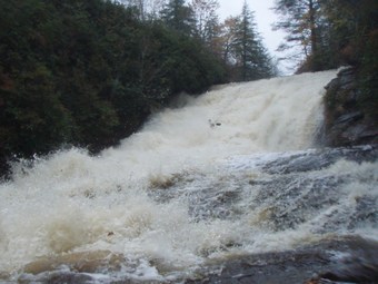
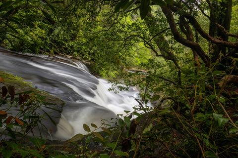
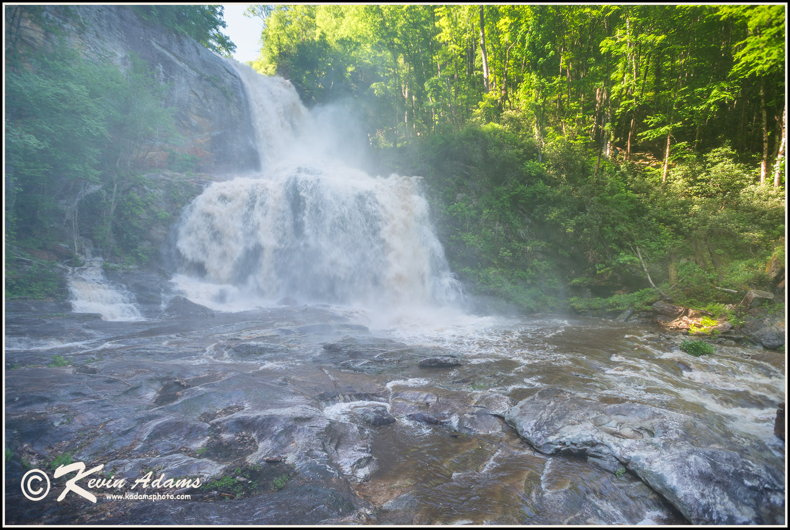
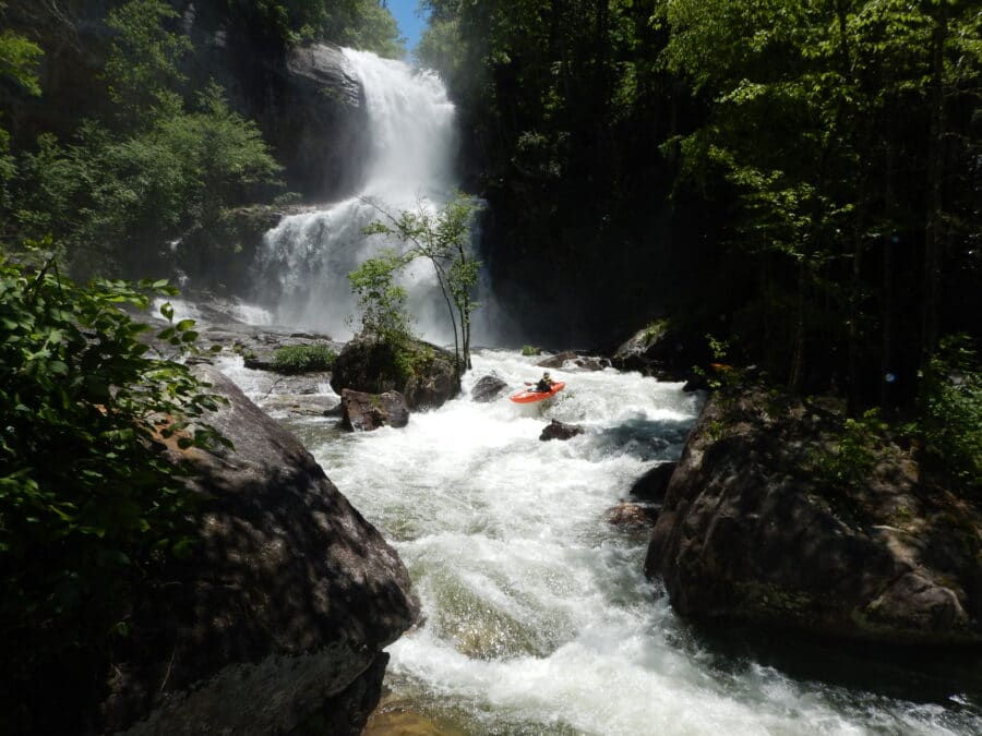
Tuckasegee, East Fork - 1. Greenland/Panthertown confluence to Rock Bridge (NC)
Gauge Conditions
Runnable: ? – ? CFS
Approximate - nearest available gauge. Use as general reference only.
Data from American Whitewater & USGS
Description
Park along Hwy 281 just upstream of Rock Bridge Road, and take out on river right, right next to Rock Bridge Road. There is a 60 foot NCDOT easement on both roads that paddlers should stay within, as this area is posted private property.
Location


View Full Run
1. Greenland/Panthertown confluence to Rock Bridge
Tuckasegee, East Fork
V
4.3 mi
Current Conditions
5-Day Forecast
Whitewater data from
American Whitewater
American Whitewater